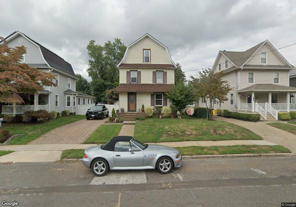
345 Maple Ave Audubon, NJ 08106
Estimated Value: $328,501 - $469,000
Studio
--
Bath
1,438
Sq Ft
$292/Sq Ft
Est. Value
About This Home
This home is located at 345 Maple Ave, Audubon, NJ 08106 and is currently estimated at $419,875, approximately $291 per square foot. 345 Maple Ave is a home located in Camden County with nearby schools including Haviland Avenue School, Mansion Avenue School, and Audubon Junior/Senior High School.
Ownership History
Date
Name
Owned For
Owner Type
Purchase Details
Closed on
Feb 12, 2015
Sold by
Doman Robert W and Doman Nancy L
Bought by
Fadio Barry S and Fadio Robin L
Current Estimated Value
Home Financials for this Owner
Home Financials are based on the most recent Mortgage that was taken out on this home.
Original Mortgage
$105,000
Outstanding Balance
$37,087
Interest Rate
3.66%
Mortgage Type
New Conventional
Estimated Equity
$382,788
Purchase Details
Closed on
Dec 30, 1997
Sold by
Abbott Sally R Dent
Bought by
Angelozzi Rocco and Angelozzi Tina Marie
Create a Home Valuation Report for This Property
The Home Valuation Report is an in-depth analysis detailing your home's value as well as a comparison with similar homes in the area
Home Values in the Area
Average Home Value in this Area
Purchase History
| Date | Buyer | Sale Price | Title Company |
|---|---|---|---|
| Fadio Barry S | $200,000 | Guaranty Title Agency Llc | |
| Angelozzi Rocco | $217,500 | -- |
Source: Public Records
Mortgage History
| Date | Status | Borrower | Loan Amount |
|---|---|---|---|
| Open | Fadio Barry S | $105,000 |
Source: Public Records
Tax History
| Year | Tax Paid | Tax Assessment Tax Assessment Total Assessment is a certain percentage of the fair market value that is determined by local assessors to be the total taxable value of land and additions on the property. | Land | Improvement |
|---|---|---|---|---|
| 2025 | $7,896 | $195,600 | $95,000 | $100,600 |
| 2024 | $7,634 | $195,600 | $95,000 | $100,600 |
| 2023 | $7,634 | $195,600 | $95,000 | $100,600 |
| 2022 | $7,431 | $195,600 | $95,000 | $100,600 |
| 2021 | $7,122 | $195,600 | $95,000 | $100,600 |
| 2020 | $7,053 | $195,600 | $95,000 | $100,600 |
| 2019 | $6,959 | $195,600 | $95,000 | $100,600 |
| 2018 | $6,873 | $195,600 | $95,000 | $100,600 |
| 2017 | $6,731 | $195,600 | $95,000 | $100,600 |
| 2016 | $6,555 | $195,600 | $95,000 | $100,600 |
| 2015 | $6,341 | $195,600 | $95,000 | $100,600 |
| 2014 | $6,031 | $195,600 | $95,000 | $100,600 |
Source: Public Records
Map
Nearby Homes
- 63 Central Ave
- 29 Payson Ave
- 232 Edgewood Ave
- 2 Creston Ave
- 553 Maple Ave
- 312 W Pine St
- 432 W Pine St
- 112 W Merchant St
- 200 E Lake Dr
- 218 Walnut St
- 100 Chestnut St
- 114 Walnut St
- 902 Maple Ave
- 11 W Cedar Ave
- 318 Walnut Ave
- 229 S Lecato Ave
- 102 Cherry St
- 12 S Haviland Ave
- 1927 Wayne Ave
- 17 W Buckingham Ave
Your Personal Tour Guide
Ask me questions while you tour the home.