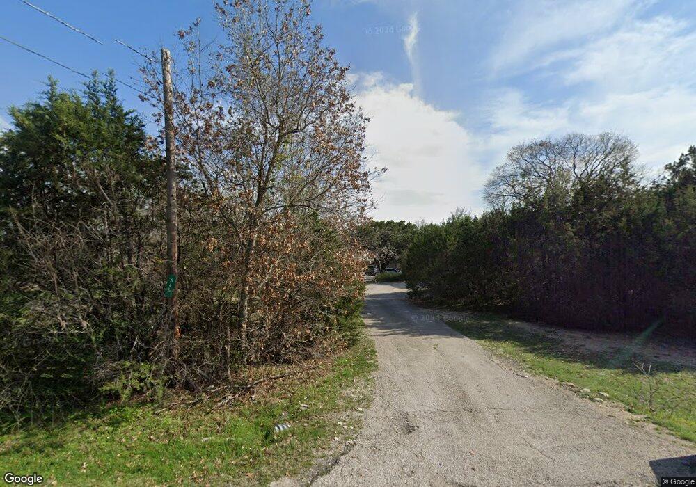
345 Mesquite Trail Weatherford, TX 76087
Estimated Value: $263,160 - $341,000
--
Bed
--
Bath
2,232
Sq Ft
$137/Sq Ft
Est. Value
About This Home
This home is located at 345 Mesquite Trail, Weatherford, TX 76087 and is currently estimated at $304,790, approximately $136 per square foot. 345 Mesquite Trail is a home located in Parker County with nearby schools including Curtis Elementary School, Hall Middle School, and Weatherford High School.
Ownership History
Date
Name
Owned For
Owner Type
Purchase Details
Closed on
Mar 26, 2007
Sold by
Federal National Mortgage Association
Bought by
Koen Michael W
Current Estimated Value
Home Financials for this Owner
Home Financials are based on the most recent Mortgage that was taken out on this home.
Original Mortgage
$95,500
Outstanding Balance
$57,931
Interest Rate
6.3%
Mortgage Type
New Conventional
Estimated Equity
$246,859
Purchase Details
Closed on
Jan 2, 2007
Sold by
Casey John A and Casey Lillian A
Bought by
Koen Michael W
Purchase Details
Closed on
Oct 11, 2002
Sold by
Adams Alvis M
Bought by
Koen Michael W
Purchase Details
Closed on
Oct 9, 2002
Sold by
Adams A M & L Revocable Living
Bought by
Koen Michael W
Create a Home Valuation Report for This Property
The Home Valuation Report is an in-depth analysis detailing your home's value as well as a comparison with similar homes in the area
Home Values in the Area
Average Home Value in this Area
Purchase History
| Date | Buyer | Sale Price | Title Company |
|---|---|---|---|
| Koen Michael W | -- | Stnt | |
| Koen Michael W | -- | -- | |
| Koen Michael W | -- | -- | |
| Koen Michael W | -- | -- |
Source: Public Records
Mortgage History
| Date | Status | Borrower | Loan Amount |
|---|---|---|---|
| Open | Koen Michael W | $95,500 |
Source: Public Records
Tax History Compared to Growth
Tax History
| Year | Tax Paid | Tax Assessment Tax Assessment Total Assessment is a certain percentage of the fair market value that is determined by local assessors to be the total taxable value of land and additions on the property. | Land | Improvement |
|---|---|---|---|---|
| 2025 | $1,089 | $144,063 | -- | -- |
| 2024 | $1,089 | $130,966 | -- | -- |
| 2023 | $1,089 | $119,060 | $0 | $0 |
| 2022 | $2,013 | $160,460 | $40,000 | $120,460 |
| 2021 | $1,981 | $160,460 | $40,000 | $120,460 |
| 2020 | $1,810 | $101,500 | $20,000 | $81,500 |
| 2019 | $1,754 | $101,500 | $20,000 | $81,500 |
| 2018 | $1,608 | $73,930 | $4,000 | $69,930 |
| 2017 | $1,641 | $73,930 | $4,000 | $69,930 |
| 2016 | $1,641 | $73,930 | $4,000 | $69,930 |
| 2015 | $1,238 | $73,930 | $4,000 | $69,930 |
| 2014 | $1,272 | $69,780 | $4,000 | $65,780 |
Source: Public Records
Map
Nearby Homes
- 428 Mesquite Trail
- 329 Longhorn Trail
- 4932 Cimmaron Trail
- 190 Mesquite Trail
- 4948 Cimmaron Trail
- 246 Comanche Trail
- 4709 Chisholm Trail
- 112 Pioneer Trail
- 4783 Brazos Cir
- TBD 11 Gremminger Ct
- 340 Western Lake Dr
- 4725 Valley View Cir
- 4819 Horseshoe Dr
- 2008 Walter Joseph Way
- 413 Lakeview Trail
- 191 Wildflower Trail
- 0000 Walter Joseph Way
- TBD Western Lake Dr
- 1074 Timber Hills Dr
- 1009 Timber Hills Dr
- 348 Mesquite Trail
- 340 Mesquite Trail
- 364 Mesquite Trail
- 4858 Chisholm Trail
- 317 Mesquite Trail
- 4843 Cedar Hill Dr
- 4875 Marlboro Country Trail
- 4840 Cedar Hill Dr
- 305 Mesquite Trail
- 4864 Marlboro Country Trail
- 4864 Chisholm Trail
- 4874 Marlboro Country Trail
- 4881 Marlboro Country Trail
- 4838 Chisholm Trail
- 332 Navajo Trail
- TBD Chisholm and Tanglewoo
- 4836 Cedar Hill Dr
- 4830 Chisholm Trail
- 4820 Chisholm Trail
- 4857 Chisholm Trail
