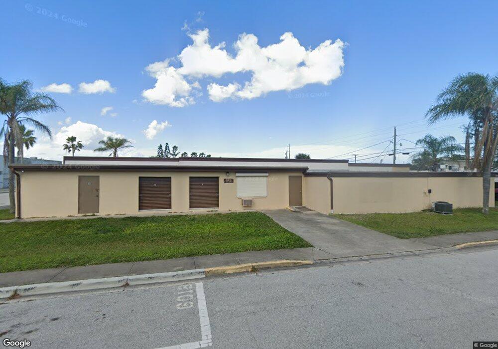
345 N 1st St Cocoa Beach, FL 32931
Estimated Value: $858,172
--
Bed
--
Bath
7,667
Sq Ft
$112/Sq Ft
Est. Value
About This Home
This home is located at 345 N 1st St, Cocoa Beach, FL 32931 and is currently estimated at $858,172, approximately $111 per square foot. 345 N 1st St is a home located in Brevard County with nearby schools including Theodore Roosevelt Elementary School, Cocoa Beach Junior/Senior High School, and Cocoa Beach Christian School.
Ownership History
Date
Name
Owned For
Owner Type
Purchase Details
Closed on
Oct 4, 2018
Sold by
Cocoa Beachside Storage I Nc
Bought by
First Street Storage Inc
Current Estimated Value
Home Financials for this Owner
Home Financials are based on the most recent Mortgage that was taken out on this home.
Original Mortgage
$400,000
Outstanding Balance
$350,374
Interest Rate
4.71%
Estimated Equity
$507,798
Purchase Details
Closed on
Dec 21, 2016
Sold by
Stuart Joan
Bought by
Cocoa Beachside Storage Inc
Purchase Details
Closed on
Dec 1, 2016
Bought by
Cocoa Beachside Storage Inc
Create a Home Valuation Report for This Property
The Home Valuation Report is an in-depth analysis detailing your home's value as well as a comparison with similar homes in the area
Home Values in the Area
Average Home Value in this Area
Purchase History
| Date | Buyer | Sale Price | Title Company |
|---|---|---|---|
| First Street Storage Inc | $525,000 | -- | |
| Cocoa Beachside Storage Inc | -- | Attorney | |
| Cocoa Beachside Storage Inc | $100 | -- |
Source: Public Records
Mortgage History
| Date | Status | Borrower | Loan Amount |
|---|---|---|---|
| Open | First Street Storage Inc | $400,000 | |
| Closed | First Street Storage Inc | -- | |
| Closed | Cocoa Beachside Storage Inc | $0 |
Source: Public Records
Tax History Compared to Growth
Tax History
| Year | Tax Paid | Tax Assessment Tax Assessment Total Assessment is a certain percentage of the fair market value that is determined by local assessors to be the total taxable value of land and additions on the property. | Land | Improvement |
|---|---|---|---|---|
| 2025 | $6,737 | $435,100 | -- | -- |
| 2024 | $6,210 | $413,310 | -- | -- |
| 2023 | $6,210 | $374,290 | $0 | $0 |
| 2022 | $5,396 | $330,720 | $0 | $0 |
| 2021 | $6,111 | $364,670 | $91,500 | $273,170 |
| 2020 | $6,138 | $363,450 | $91,500 | $271,950 |
| 2019 | $7,694 | $448,770 | $91,500 | $357,270 |
| 2018 | $4,309 | $244,130 | $91,500 | $152,630 |
| 2017 | $4,038 | $220,000 | $0 | $220,000 |
| 2016 | $3,885 | $207,000 | $0 | $0 |
| 2015 | $3,596 | $190,000 | $67,500 | $122,500 |
| 2014 | $3,532 | $184,000 | $67,500 | $116,500 |
Source: Public Records
Map
Nearby Homes
- 150 Cedar Ave
- 105 Aucila Rd
- 240 Woodland Ave Unit 2
- 118 N Atlantic Ave
- 300 N Brevard Ave
- 255 Woodland Ave Unit 1
- 65 N Atlantic Ave Unit 307
- 112 Sunset Dr
- 29 Azalea Dr
- 15 N Atlantic Ave Unit 105
- 171 N Atlantic Ave Unit 40
- 209 N Atlantic Ave Unit 6
- 115 Chipola Rd
- 121 Boca Ciega Rd
- 225 N Atlantic Ave Unit 205
- 225 N Atlantic Ave Unit 303
- 344 N Brevard Ave
- 85 S Atlantic Ave Unit 306
- 107 Deleon Rd
- 335 N Brevard Ave
- 102 Woodland Ave
- 102 Woodland Ave Unit Suite 11
- 133 Woodland Ave Unit B
- 133 Woodland Ave Unit A
- 133 Woodland Ave
- 92 Woodland #4
- 92 Woodland #4
- 92 Woodland Ave Unit 1
- 92 Woodland Ave Unit 2
- 92 Woodland Ave Unit 1
- 92 Woodland Ave
- 92 Woodland Ave
- 92 Woodland Ave
- 92 Woodland Ave
- 92 Woodland Ave
- 92 Woodland Ave Unit 4
- 92 Woodland Ave Unit 3
- 145 Woodland Ave
- 135 Woodland Ave
- 455 N 1st St Unit A, B, C