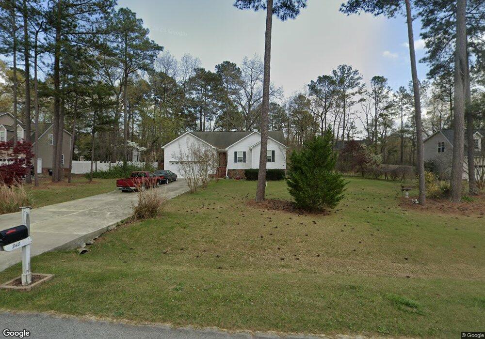
345 Old Cabin Ct Angier, NC 27501
Pleasant Grove NeighborhoodEstimated Value: $317,000 - $348,000
3
Beds
2
Baths
1,628
Sq Ft
$205/Sq Ft
Est. Value
About This Home
This home is located at 345 Old Cabin Ct, Angier, NC 27501 and is currently estimated at $333,328, approximately $204 per square foot. 345 Old Cabin Ct is a home located in Johnston County with nearby schools including McGee's Crossroads Elementary School, McGee's Crossroads Middle School, and West Johnston High School.
Ownership History
Date
Name
Owned For
Owner Type
Purchase Details
Closed on
Apr 30, 2004
Sold by
Day James M
Bought by
Ashley Turner Building Co Inc
Current Estimated Value
Purchase Details
Closed on
Sep 29, 2003
Sold by
Ashley Turner Building Co Inc
Bought by
Ashley Turner Enterprises Inc
Purchase Details
Closed on
Sep 20, 2002
Sold by
Ashley Turner Enterprises Inc
Bought by
Crossroads Development Corp
Create a Home Valuation Report for This Property
The Home Valuation Report is an in-depth analysis detailing your home's value as well as a comparison with similar homes in the area
Home Values in the Area
Average Home Value in this Area
Purchase History
| Date | Buyer | Sale Price | Title Company |
|---|---|---|---|
| Ashley Turner Building Co Inc | $125,000 | -- | |
| Ashley Turner Enterprises Inc | -- | -- | |
| Crossroads Development Corp | -- | -- |
Source: Public Records
Tax History
| Year | Tax Paid | Tax Assessment Tax Assessment Total Assessment is a certain percentage of the fair market value that is determined by local assessors to be the total taxable value of land and additions on the property. | Land | Improvement |
|---|---|---|---|---|
| 2025 | $1,891 | $297,860 | $80,000 | $217,860 |
| 2024 | $1,342 | $165,720 | $36,000 | $129,720 |
| 2023 | $1,301 | $165,720 | $36,000 | $129,720 |
| 2022 | $1,342 | $165,720 | $36,000 | $129,720 |
| 2021 | $1,342 | $165,720 | $36,000 | $129,720 |
| 2020 | $1,392 | $165,720 | $36,000 | $129,720 |
| 2019 | $1,359 | $165,720 | $36,000 | $129,720 |
| 2018 | $1,182 | $140,750 | $32,000 | $108,750 |
| 2017 | $1,182 | $140,750 | $32,000 | $108,750 |
| 2016 | $1,182 | $140,750 | $32,000 | $108,750 |
| 2015 | $1,182 | $140,750 | $32,000 | $108,750 |
| 2014 | $1,182 | $140,750 | $32,000 | $108,750 |
Source: Public Records
Map
Nearby Homes
- 33 Cabin Grove Ct
- 16622 N Carolina 210
- 71 Suzanne Dr
- 810 | 850 Wiggins Rd
- 15973 N Carolina 210
- 40 Broadhead Ct
- 105 Pinecrest Dr
- 111 Old Mill Dr
- 197 Silverside Dr
- 506 Harbor Cove Dr
- 2004 Little Pond Place
- 206 West Rd
- 3002 Red Cir
- 0 Massengill Pond Rd
- 1145 Landmark Rd
- 1139 Landmark Rd
- 336 Cedar Ridge Trail
- 216 Country Haven Ct
- 264 Harbor Cove Dr
- 216 Cedar Ridge Trail
- 311 Old Cabin Ct
- 363 Old Cabin Ct
- 412 Cabin Grove Ct
- 326 Old Cabin Ct
- 356 Old Cabin Ct
- 476 Cabin Grove Ct
- 376 Cabin Grove Ct
- 300 Old Cabin Ct
- (L-43) 376 Cabin Grove Ct
- 374 Old Cabin Ct
- 368 Old Cabin Ct
- 354 Cabin Grove Ct
- 435 Cabin Grove Ct
- 475 Cabin Grove Ct
- 278 Old Cabin Ct
- 401 Cabin Grove Ct
- 496 Cabin Grove Ct
- 259 Old Cabin Ct
- 361 Cabin Grove Ct
- 260 Old Cabin Ct
Your Personal Tour Guide
Ask me questions while you tour the home.