345 Oneal Rd Nahunta, GA 31553
Estimated Value: $196,956 - $325,000
1
Bed
1
Bath
1,008
Sq Ft
$256/Sq Ft
Est. Value
About This Home
This home is located at 345 Oneal Rd, Nahunta, GA 31553 and is currently estimated at $258,239, approximately $256 per square foot. 345 Oneal Rd is a home located in Brantley County with nearby schools including Nahunta Primary School, Nahunta Elementary School, and Brantley County Middle School.
Ownership History
Date
Name
Owned For
Owner Type
Purchase Details
Closed on
Oct 30, 2024
Sold by
Davis Niram
Bought by
Davis Dwayne and Davis Mary Ellen
Current Estimated Value
Home Financials for this Owner
Home Financials are based on the most recent Mortgage that was taken out on this home.
Original Mortgage
$150,000
Outstanding Balance
$140,181
Interest Rate
6.12%
Mortgage Type
New Conventional
Estimated Equity
$118,058
Create a Home Valuation Report for This Property
The Home Valuation Report is an in-depth analysis detailing your home's value as well as a comparison with similar homes in the area
Purchase History
| Date | Buyer | Sale Price | Title Company |
|---|---|---|---|
| Davis Dwayne | -- | -- |
Source: Public Records
Mortgage History
| Date | Status | Borrower | Loan Amount |
|---|---|---|---|
| Open | Davis Dwayne | $150,000 |
Source: Public Records
Tax History
| Year | Tax Paid | Tax Assessment Tax Assessment Total Assessment is a certain percentage of the fair market value that is determined by local assessors to be the total taxable value of land and additions on the property. | Land | Improvement |
|---|---|---|---|---|
| 2025 | $2,889 | $76,224 | $8,677 | $67,547 |
| 2024 | $2,087 | $58,215 | $5,457 | $52,758 |
| 2023 | $416 | $48,140 | $4,961 | $43,179 |
| 2022 | $1,469 | $46,540 | $4,961 | $41,579 |
| 2021 | $1,351 | $37,221 | $4,961 | $32,260 |
| 2020 | $1,386 | $37,221 | $4,961 | $32,260 |
| 2019 | $1,514 | $41,323 | $4,961 | $36,362 |
| 2018 | $1,486 | $43,724 | $7,362 | $36,362 |
| 2017 | $1,486 | $43,724 | $7,362 | $36,362 |
| 2016 | $1,779 | $43,724 | $7,362 | $36,362 |
| 2015 | -- | $43,724 | $7,362 | $36,362 |
Source: Public Records
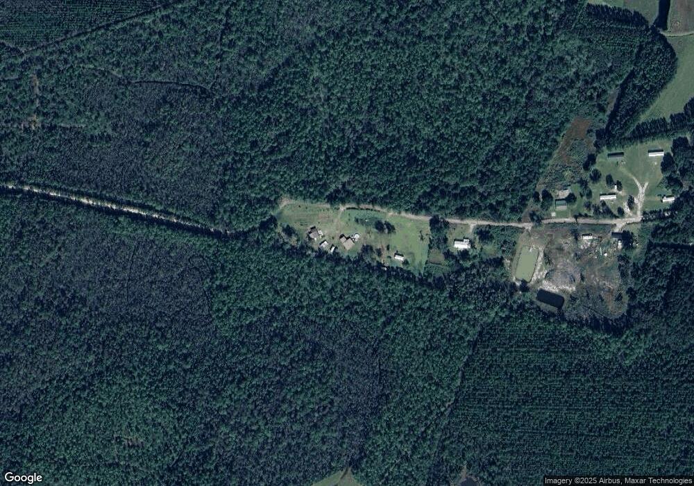
Map
Nearby Homes
- 169 Johns Way
- 0 Riverside Rd Unit 25397127
- 0 Sylvester Dr Unit 10674962
- 0 Sylvester Dr Unit 164381
- 0 Sylvester Dr Unit SA346840
- 7126 U S 301
- 19067 U S 301
- 91 Cane Cir
- 279 Outback Loop
- 0 Stephen Park Rd Unit 10665137
- 0 Stephen Park Rd Unit 1658601
- 0 Winokur Rock Rd Unit 16394425
- 0 Winokur Rock Rd Unit 1643990
- 29 Chisholm St
- 537 Seward Trail
- 73 Morrison Ln
- 4561 Buffalo Creek Dr
- 00 Wildwood St
- 207 Johnny B St
- 76 Ervin St
- 2731 Taylor Bay
- 180 O' Neal Rd
- 180 Oneal Rd
- Unkn Taylor Bay Rd
- 1015 Oneal Rd
- 2775 Taylor Bay
- 3531 Taylor Bay
- 3357 Taylor Bay
- 2988 Taylor Bay
- 3229 Highway 301 S
- 3078 Taylor Bay
- 2559 Taylor Bay
- 2929 Highway 301 S
- 2795 Highway 301 S
- 2902 Highway 301 S
- 2411 Taylor Bay
- 3787 Taylor Bay
- 2761 Highway 301 S
- 3568 Highway 301 S
- 3774 Highway 301 S
Your Personal Tour Guide
Ask me questions while you tour the home.