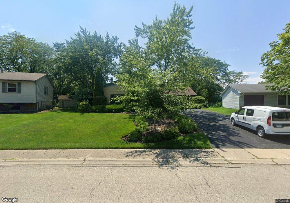
345 Red Bridge Rd Lake Zurich, IL 60047
Estimated Value: $419,000 - $500,000
--
Bed
3
Baths
1,724
Sq Ft
$267/Sq Ft
Est. Value
About This Home
This home is located at 345 Red Bridge Rd, Lake Zurich, IL 60047 and is currently estimated at $459,482, approximately $266 per square foot. 345 Red Bridge Rd is a home located in Lake County with nearby schools including Sarah Adams Elementary School, Lake Zurich Middle School - South Campus, and Lake Zurich High School.
Ownership History
Date
Name
Owned For
Owner Type
Purchase Details
Closed on
Feb 2, 2001
Sold by
Hammond Redding Michael J and Hammond Redding Helen
Bought by
Hammond Redding Michael J and Hammond Redding Helen
Current Estimated Value
Purchase Details
Closed on
May 27, 1998
Sold by
Hammond Redding Michael J and Hammond Redding Helen
Bought by
Hammond Redding Michael J and Hammond Redding Helen
Home Financials for this Owner
Home Financials are based on the most recent Mortgage that was taken out on this home.
Original Mortgage
$148,000
Interest Rate
7.32%
Purchase Details
Closed on
Jun 30, 1997
Sold by
Redding Michael J and Redding Michael James
Bought by
Hammond Redding Michael J and Hammond Redding Helen
Create a Home Valuation Report for This Property
The Home Valuation Report is an in-depth analysis detailing your home's value as well as a comparison with similar homes in the area
Home Values in the Area
Average Home Value in this Area
Purchase History
| Date | Buyer | Sale Price | Title Company |
|---|---|---|---|
| Hammond Redding Michael J | -- | -- | |
| Hammond Redding Michael J | -- | -- | |
| Hammond Redding Michael J | -- | -- |
Source: Public Records
Mortgage History
| Date | Status | Borrower | Loan Amount |
|---|---|---|---|
| Closed | Hammond Redding Michael J | $148,000 |
Source: Public Records
Tax History Compared to Growth
Tax History
| Year | Tax Paid | Tax Assessment Tax Assessment Total Assessment is a certain percentage of the fair market value that is determined by local assessors to be the total taxable value of land and additions on the property. | Land | Improvement |
|---|---|---|---|---|
| 2024 | $8,317 | $136,342 | $25,242 | $111,100 |
| 2023 | $8,556 | $121,725 | $22,536 | $99,189 |
| 2022 | $8,556 | $119,599 | $17,677 | $101,922 |
| 2021 | $8,248 | $116,534 | $17,224 | $99,310 |
| 2020 | $8,099 | $116,534 | $17,224 | $99,310 |
| 2019 | $7,977 | $115,518 | $17,074 | $98,444 |
| 2018 | $6,882 | $101,584 | $18,369 | $83,215 |
| 2017 | $6,832 | $100,360 | $18,148 | $82,212 |
| 2016 | $7,069 | $97,182 | $17,573 | $79,609 |
| 2015 | $6,963 | $92,563 | $16,738 | $75,825 |
| 2014 | $6,145 | $81,531 | $19,979 | $61,552 |
| 2012 | $5,862 | $81,703 | $20,021 | $61,682 |
Source: Public Records
Map
Nearby Homes
- 533 Surryse Rd
- 600 Ivy Ct
- 429 Grand Ave
- 795 Harvest Dr
- 898 S Rand Rd
- 155 Canterbury Way
- 890 June Terrace Unit 140
- 54 Mionske Dr
- 77 Mionske Dr
- 21839 Cambridge Dr
- 21742 N Ashley St
- 21763 Deerpath Rd
- 20992 W Preserve Dr
- 21186 W Preserve Dr
- 461 N Newberry Ct
- 21031 N Quentin Rd
- 21041-51 N Quentin Rd
- 99 Quentin Rd
- 27 Maple Ave
- 1266 Thorndale Ln
- 335 Red Bridge Rd
- 355 Red Bridge Rd Unit 2
- 33 Red Haw Ln
- 610 Surryse Rd
- 35 Red Haw Ln
- 31 Red Haw Ln
- 331 Red Bridge Rd
- 37 Red Haw Ln
- 340 Red Bridge Rd
- 630 Surryse Rd
- 39 Red Haw Ln
- 334 Red Bridge Rd
- 29 Red Haw Ln
- 325 Red Bridge Rd
- 328 Red Bridge Rd
- 363 Red Bridge Rd
- 34 Red Haw Ln
- 27 Red Haw Ln
- 255 Red Bridge Rd
- 607 Surryse Rd