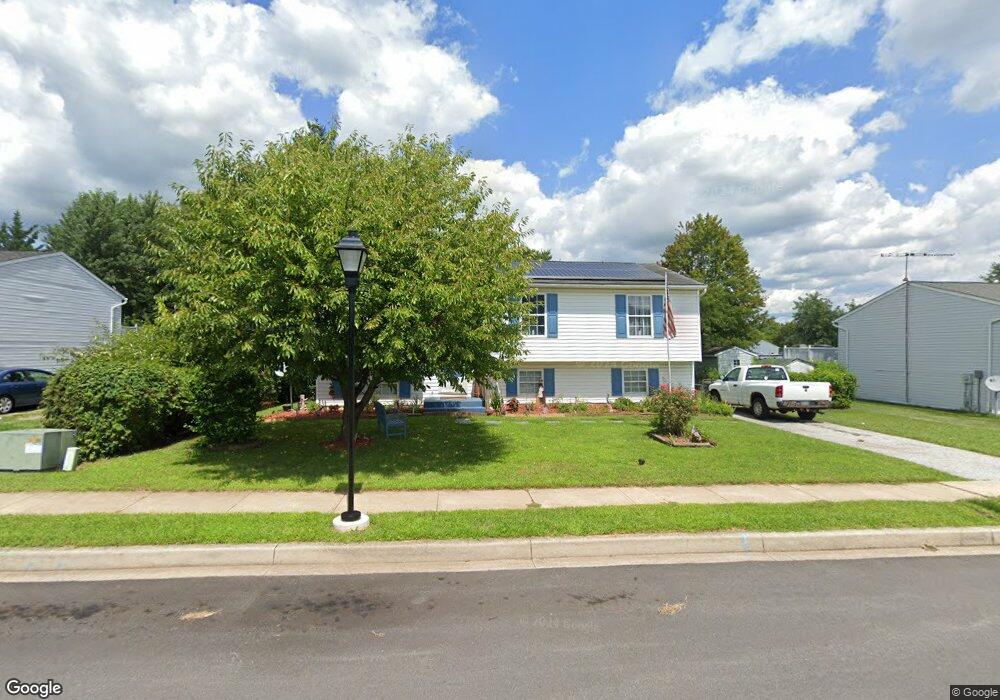
345 Roberts Mill Rd Taneytown, MD 21787
Estimated Value: $317,703 - $370,000
--
Bed
2
Baths
1,220
Sq Ft
$287/Sq Ft
Est. Value
About This Home
This home is located at 345 Roberts Mill Rd, Taneytown, MD 21787 and is currently estimated at $349,676, approximately $286 per square foot. 345 Roberts Mill Rd is a home located in Carroll County with nearby schools including Taneytown Elementary School, Northwest Middle School, and Francis Scott Key High School.
Ownership History
Date
Name
Owned For
Owner Type
Purchase Details
Closed on
Nov 30, 1993
Sold by
Tanney Enterprises Inc
Bought by
Carrigo Ronald F
Current Estimated Value
Home Financials for this Owner
Home Financials are based on the most recent Mortgage that was taken out on this home.
Original Mortgage
$110,970
Interest Rate
6.72%
Purchase Details
Closed on
Dec 1, 1992
Sold by
Foxfire Properties Inc
Bought by
Tanney Enterprises Inc
Purchase Details
Closed on
Oct 1, 1990
Sold by
Roberts Mill Development
Bought by
Foxfire Properties Inc
Create a Home Valuation Report for This Property
The Home Valuation Report is an in-depth analysis detailing your home's value as well as a comparison with similar homes in the area
Home Values in the Area
Average Home Value in this Area
Purchase History
| Date | Buyer | Sale Price | Title Company |
|---|---|---|---|
| Carrigo Ronald F | $108,000 | -- | |
| Tanney Enterprises Inc | $584,500 | -- | |
| Foxfire Properties Inc | $308,000 | -- |
Source: Public Records
Mortgage History
| Date | Status | Borrower | Loan Amount |
|---|---|---|---|
| Closed | Carrigo Ronald F | $110,970 |
Source: Public Records
Tax History Compared to Growth
Tax History
| Year | Tax Paid | Tax Assessment Tax Assessment Total Assessment is a certain percentage of the fair market value that is determined by local assessors to be the total taxable value of land and additions on the property. | Land | Improvement |
|---|---|---|---|---|
| 2025 | $3,930 | $277,167 | $0 | $0 |
| 2024 | $3,930 | $264,133 | $0 | $0 |
| 2023 | $3,741 | $251,100 | $92,000 | $159,100 |
| 2022 | $3,583 | $240,467 | $0 | $0 |
| 2021 | $6,895 | $229,833 | $0 | $0 |
| 2020 | $3,288 | $219,200 | $77,000 | $142,200 |
| 2019 | $3,221 | $214,700 | $0 | $0 |
| 2018 | $3,132 | $210,200 | $0 | $0 |
| 2017 | $3,065 | $205,700 | $0 | $0 |
| 2016 | -- | $197,600 | $0 | $0 |
| 2015 | -- | $189,500 | $0 | $0 |
| 2014 | -- | $181,400 | $0 | $0 |
Source: Public Records
Map
Nearby Homes
- 505 Chestnut Ct
- 231 Roth Ave
- 322 Roberts Mill Rd
- 7 O Brien Ave
- 209 Colbert St
- 428 E Baltimore St
- 323 E Baltimore St
- 430 E Baltimore St
- 39 O'Brien Ave
- 223 Carroll Heights Rd
- 68 Crimson Ave
- 314 Huntinghorn St
- 27 Planetree Dr
- 64 Bancroft St
- 459 3rd St
- 138 Grand Dr
- 209 Grand Dr
- 149 Grand Dr
- 0 Carnival Dr
- 71 Fairground Ave
- 343 Roberts Mill Rd
- 347 Roberts Mill Rd
- 204 Roth Ave
- 103 Baumgardner Ave
- 417 Clover Ct
- 349 Roberts Mill Rd
- 341 Roberts Mill Rd
- 433 Berry Ct
- 415 Clover Ct
- 419 Clover Ct
- 202 Roth Ave
- 413 Clover Ct
- 435 Berry Ct
- 101 Baumgardner Ave
- 421 Clover Ct
- 411 Clover Ct
- 437 Berry Ct
- 409 Clover Ct
- 423 Clover Ct
- 407 Clover Ct