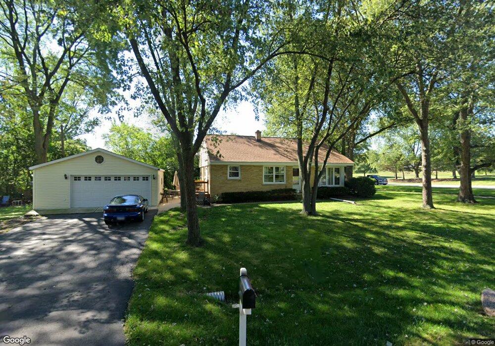
345 Roger Rd Darien, IL 60561
Estimated Value: $368,359 - $405,000
Studio
1
Bath
1,644
Sq Ft
$237/Sq Ft
Est. Value
About This Home
This home is located at 345 Roger Rd, Darien, IL 60561 and is currently estimated at $390,090, approximately $237 per square foot. 345 Roger Rd is a home located in DuPage County with nearby schools including Mark Delay School, Lace Elementary School, and Eisenhower Jr High School.
Ownership History
Date
Name
Owned For
Owner Type
Purchase Details
Closed on
Jan 7, 2020
Sold by
Godfrey Forrest S
Bought by
Godfrey Forrest S and Godfrey Susan M
Current Estimated Value
Purchase Details
Closed on
Dec 9, 2013
Sold by
Godfrey Edward W and Hoeffle Barbara
Bought by
Godfrey Forrest S
Home Financials for this Owner
Home Financials are based on the most recent Mortgage that was taken out on this home.
Original Mortgage
$155,600
Outstanding Balance
$117,030
Interest Rate
4.37%
Mortgage Type
New Conventional
Estimated Equity
$273,060
Create a Home Valuation Report for This Property
The Home Valuation Report is an in-depth analysis detailing your home's value as well as a comparison with similar homes in the area
Home Values in the Area
Average Home Value in this Area
Purchase History
| Date | Buyer | Sale Price | Title Company |
|---|---|---|---|
| Godfrey Forrest S | -- | First American Title | |
| Godfrey Forrest S | $194,500 | Ctic |
Source: Public Records
Mortgage History
| Date | Status | Borrower | Loan Amount |
|---|---|---|---|
| Open | Godfrey Forrest S | $155,600 |
Source: Public Records
Tax History Compared to Growth
Tax History
| Year | Tax Paid | Tax Assessment Tax Assessment Total Assessment is a certain percentage of the fair market value that is determined by local assessors to be the total taxable value of land and additions on the property. | Land | Improvement |
|---|---|---|---|---|
| 2024 | $6,517 | $111,152 | $49,941 | $61,211 |
| 2023 | $6,358 | $102,180 | $45,910 | $56,270 |
| 2022 | $6,013 | $96,310 | $43,270 | $53,040 |
| 2021 | $5,784 | $95,220 | $42,780 | $52,440 |
| 2020 | $5,704 | $93,330 | $41,930 | $51,400 |
| 2019 | $5,583 | $90,190 | $40,230 | $49,960 |
| 2018 | $5,073 | $83,120 | $40,060 | $43,060 |
| 2017 | $4,980 | $79,990 | $38,550 | $41,440 |
| 2016 | $4,601 | $76,340 | $36,790 | $39,550 |
| 2015 | $4,528 | $71,820 | $34,610 | $37,210 |
| 2014 | $4,407 | $69,120 | $33,650 | $35,470 |
| 2013 | $4,262 | $68,330 | $33,490 | $34,840 |
Source: Public Records
Map
Nearby Homes
- 325 Roger Rd
- 321 Janet Ave
- 401 69th St
- 6648 Weather Hill Dr
- 301 Lake Hinsdale Dr Unit 108
- 7502 Farmingdale Dr Unit 206
- 7502 Farmingdale Dr Unit 202
- 724 Maplewood Ct Unit 34B
- 7235 Willow Way Ln Unit B
- 501 Lake Hinsdale Dr Unit 307
- 7525 Nantucket Dr Unit 210
- 601 Lake Hinsdale Dr Unit 307
- 601 Lake Hinsdale Dr Unit 301
- 601 Lake Hinsdale Dr Unit 511
- 701 Lake Hinsdale Dr Unit G202
- 6136 Bentley Ave
- 6542 Bentley Ave
- 6540 Bentley Ave
- 6503 Clarendon Hills Rd
- 318 Arabian Cir
- 7113 Clarendon Hills Rd
- 7117 Clarendon Hills Rd
- 388 Roger Rd
- 7121 Clarendon Hills Rd
- 337 Roger Rd
- 7125 Clarendon Hills Rd
- 7101 Clarendon Hills Rd
- 333 Roger Rd
- 7129 Clarendon Hills Rd
- 338 Roger Rd
- 7033 Clarendon Hills Rd
- 334 Plainfield Rd
- 329 Roger Rd
- 334 Roger Rd
- 7029 Clarendon Hills Rd
- 330 Plainfield Rd
- 326 Plainfield Rd
- 330 Roger Rd
- 402 71st St
- 344 Plainfield Rd