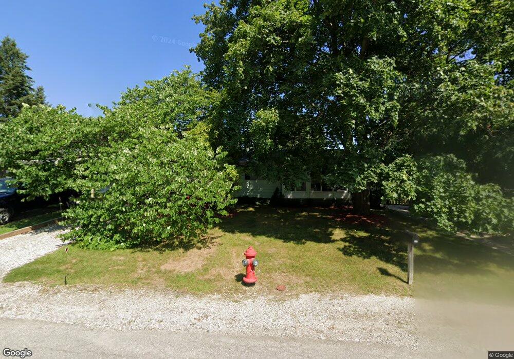
345 Scott St South Lyon, MI 48178
Estimated Value: $230,000 - $267,000
3
Beds
2
Baths
987
Sq Ft
$258/Sq Ft
Est. Value
About This Home
This home is located at 345 Scott St, South Lyon, MI 48178 and is currently estimated at $254,335, approximately $257 per square foot. 345 Scott St is a home located in Oakland County with nearby schools including Frank E. Bartlett School, Centennial Middle School, and South Lyon High School.
Ownership History
Date
Name
Owned For
Owner Type
Purchase Details
Closed on
May 19, 2021
Sold by
Parrish Anthony J and Parrish Sharon Sharon
Bought by
Parrish Anthony J and Parrish Sharon
Current Estimated Value
Purchase Details
Closed on
Apr 5, 2000
Sold by
Lada John
Bought by
Parrish Anthony J
Home Financials for this Owner
Home Financials are based on the most recent Mortgage that was taken out on this home.
Original Mortgage
$125,400
Outstanding Balance
$42,992
Interest Rate
8.24%
Estimated Equity
$211,343
Purchase Details
Closed on
Dec 12, 1996
Sold by
Hays Ellen
Bought by
Jablonsky Jaraslawa S
Create a Home Valuation Report for This Property
The Home Valuation Report is an in-depth analysis detailing your home's value as well as a comparison with similar homes in the area
Home Values in the Area
Average Home Value in this Area
Purchase History
| Date | Buyer | Sale Price | Title Company |
|---|---|---|---|
| Parrish Anthony J | -- | None Available | |
| Parrish Anthony J | $132,000 | -- | |
| Jablonsky Jaraslawa S | $102,000 | -- |
Source: Public Records
Mortgage History
| Date | Status | Borrower | Loan Amount |
|---|---|---|---|
| Open | Parrish Anthony J | $125,400 |
Source: Public Records
Tax History Compared to Growth
Tax History
| Year | Tax Paid | Tax Assessment Tax Assessment Total Assessment is a certain percentage of the fair market value that is determined by local assessors to be the total taxable value of land and additions on the property. | Land | Improvement |
|---|---|---|---|---|
| 2024 | $2,369 | $99,290 | $0 | $0 |
| 2023 | $2,223 | $93,540 | $0 | $0 |
| 2022 | $2,151 | $85,220 | $0 | $0 |
| 2021 | $2,047 | $89,080 | $0 | $0 |
| 2020 | $1,982 | $89,760 | $0 | $0 |
| 2019 | $2,027 | $87,810 | $0 | $0 |
| 2018 | $1,975 | $83,350 | $0 | $0 |
| 2017 | $1,983 | $79,900 | $0 | $0 |
| 2016 | $1,967 | $72,640 | $0 | $0 |
| 2015 | -- | $60,050 | $0 | $0 |
| 2014 | -- | $49,110 | $0 | $0 |
| 2011 | -- | $52,790 | $0 | $0 |
Source: Public Records
Map
Nearby Homes
- 225 E Liberty St
- 204 Maplewood Ct Unit 4
- 27487 Pontiac Trail
- 229 Brookwood Dr Unit 16
- 436 N Reese St
- 415 W Lake St
- 501 N Reese St Unit 1
- 429 Cambridge Ave
- 110 Princeton Dr
- 577 W Lake St
- 59550 10 Mile Rd
- 162 Princeton Dr
- 108 Princeton Dr Unit 4
- 285 Ash Ct Unit 14
- 24499 Martindale Rd
- 22607 Kay St
- 61049 Heritage Blvd Unit 8
- 61021 Heritage Blvd Unit 4
- 24699 Martindale Rd
- 61119 Heritage Blvd Unit 3