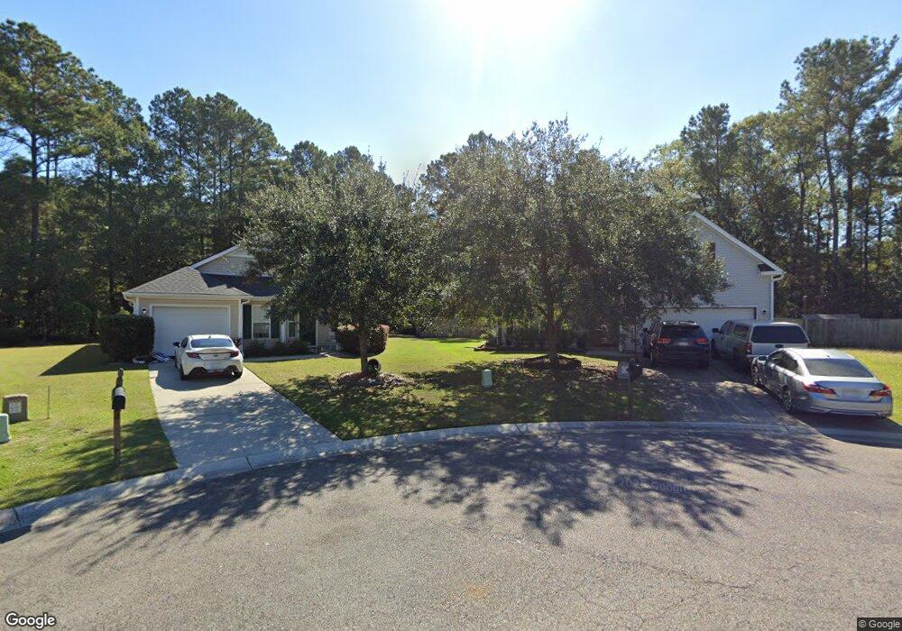
345 Winford Ct Moncks Corner, SC 29461
Estimated Value: $301,000 - $411,000
3
Beds
2
Baths
1,780
Sq Ft
$190/Sq Ft
Est. Value
About This Home
This home is located at 345 Winford Ct, Moncks Corner, SC 29461 and is currently estimated at $338,642, approximately $190 per square foot. 345 Winford Ct is a home located in Berkeley County with nearby schools including Whitesville Elementary School, Berkeley Middle School, and Berkeley High School.
Ownership History
Date
Name
Owned For
Owner Type
Purchase Details
Closed on
Aug 31, 2020
Sold by
Brown Dianne M and Brown Marty W
Bought by
5813 Properties Llc
Current Estimated Value
Purchase Details
Closed on
Dec 19, 2008
Sold by
Bfh Builders Llc
Bought by
Richberg Frank M
Home Financials for this Owner
Home Financials are based on the most recent Mortgage that was taken out on this home.
Original Mortgage
$188,000
Interest Rate
6.1%
Mortgage Type
VA
Purchase Details
Closed on
Apr 11, 2008
Sold by
Bfh Developers Llc
Bought by
Bfh Builders Llc
Create a Home Valuation Report for This Property
The Home Valuation Report is an in-depth analysis detailing your home's value as well as a comparison with similar homes in the area
Purchase History
| Date | Buyer | Sale Price | Title Company |
|---|---|---|---|
| 5813 Properties Llc | $195,000 | None Available | |
| Brown Dianne M | -- | None Available | |
| Richberg Frank M | $188,000 | -- | |
| Bfh Builders Llc | $1,050,000 | -- |
Source: Public Records
Mortgage History
| Date | Status | Borrower | Loan Amount |
|---|---|---|---|
| Previous Owner | Richberg Frank M | $188,000 |
Source: Public Records
Tax History
| Year | Tax Paid | Tax Assessment Tax Assessment Total Assessment is a certain percentage of the fair market value that is determined by local assessors to be the total taxable value of land and additions on the property. | Land | Improvement |
|---|---|---|---|---|
| 2025 | $3,333 | $216,545 | $55,505 | $161,040 |
| 2024 | $3,288 | $12,992 | $3,330 | $9,662 |
| 2023 | $3,288 | $12,992 | $3,330 | $9,662 |
| 2022 | $3,167 | $11,298 | $2,640 | $8,658 |
| 2021 | $3,191 | $7,550 | $1,503 | $6,050 |
| 2020 | $256 | $7,553 | $1,503 | $6,050 |
| 2019 | $256 | $7,553 | $1,503 | $6,050 |
| 2018 | $266 | $6,568 | $1,200 | $5,368 |
| 2017 | $186 | $6,568 | $1,200 | $5,368 |
| 2016 | $186 | $6,570 | $1,200 | $5,370 |
| 2015 | $186 | $6,570 | $1,200 | $5,370 |
| 2014 | $181 | $6,570 | $1,200 | $5,370 |
| 2013 | -- | $6,570 | $1,200 | $5,370 |
Source: Public Records
Map
Nearby Homes
- 607 Lazy Hill Rd
- 240 Groomsville Rd
- 131 Canterhill Ln
- 426 Treeline Dr
- 324 E Poplar Branch Dr
- 0 Lazy Hill Rd
- 322 E Poplar Branch Dr
- 106 Minnie Ct
- 335 Hillman Trail Dr
- 468 Eagleview Dr
- 408 Treeline Dr
- 453 Eagleview Dr
- 455 Eagleview Dr
- 519 Eagleview Dr
- 222 Weeping Cypress Dr
- 117 Forest Springs Rd
- 428 Eagleview Dr
- 677 Black Pine Rd
- 687 Black Pine Rd
- 114 Lakewood Dr
- 346 Winford Ct
- 343 Winford Ct
- 341 Winford Ct
- 344 Winford Ct
- 342 Winford Ct
- 339 Winford Ct
- 340 Winford Ct
- 618 E Lionel Rd
- 616 E Lionel Rd
- 620 E Lionel Rd
- 622 E Lionel Rd
- 614 E Lionel Rd
- 316 Winford Ct
- 612 E Lionel Rd
- 318 Winford Ct
- 337 Winford Ct
- 334 Winford Ct
- 320 Winford Ct
- 314 Winford Ct
- 610 E Lionel Rd
Your Personal Tour Guide
Ask me questions while you tour the home.