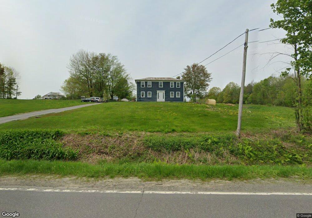
345 Winthrop Rd Readfield, ME 04355
Estimated Value: $370,000 - $562,000
--
Bed
3
Baths
1,600
Sq Ft
$287/Sq Ft
Est. Value
About This Home
This home is located at 345 Winthrop Rd, Readfield, ME 04355 and is currently estimated at $458,877, approximately $286 per square foot. 345 Winthrop Rd is a home with nearby schools including Kents Hill School.
Ownership History
Date
Name
Owned For
Owner Type
Purchase Details
Closed on
Jul 31, 2017
Sold by
Murphy James A and Murphy Laura L
Bought by
Murphy Michael S and Murphy Bethany L
Current Estimated Value
Home Financials for this Owner
Home Financials are based on the most recent Mortgage that was taken out on this home.
Original Mortgage
$130,000
Interest Rate
3.91%
Mortgage Type
Commercial
Create a Home Valuation Report for This Property
The Home Valuation Report is an in-depth analysis detailing your home's value as well as a comparison with similar homes in the area
Home Values in the Area
Average Home Value in this Area
Purchase History
| Date | Buyer | Sale Price | Title Company |
|---|---|---|---|
| Murphy Michael S | -- | -- |
Source: Public Records
Mortgage History
| Date | Status | Borrower | Loan Amount |
|---|---|---|---|
| Closed | Murphy Michael S | $130,000 |
Source: Public Records
Tax History
| Year | Tax Paid | Tax Assessment Tax Assessment Total Assessment is a certain percentage of the fair market value that is determined by local assessors to be the total taxable value of land and additions on the property. | Land | Improvement |
|---|---|---|---|---|
| 2024 | $4,487 | $335,100 | $77,600 | $257,500 |
| 2023 | $4,218 | $297,900 | $71,600 | $226,300 |
| 2022 | $3,079 | $270,100 | $67,200 | $202,900 |
| 2021 | $3,973 | $251,600 | $64,300 | $187,300 |
| 2020 | $4,171 | $237,400 | $65,700 | $171,700 |
| 2019 | $4,250 | $217,400 | $61,300 | $156,100 |
| 2018 | $4,172 | $214,600 | $58,500 | $156,100 |
| 2017 | $4,136 | $214,400 | $58,300 | $156,100 |
| 2015 | $3,755 | $207,700 | $51,600 | $156,100 |
| 2014 | $3,839 | $207,500 | $51,400 | $156,100 |
Source: Public Records
Map
Nearby Homes
- 90 Macomber Rd
- 9 Russell St
- 105 Nottingham Rd
- 155 Old Kents Hill Rd
- 882 Memorial Dr
- 1477 Main St
- 63 Maple Ridge Dr
- 60 Route 41
- 974 Sturtevant Hill Rd
- 10 Short St Unit 12
- 57 Deer Hill Rd
- 283 Church Rd
- 1548 Main St
- 90 Bearce Rd
- 29 Kents Hill Rd
- 36 Mountain View Ln
- 31 Squire Ct
- 42 Squire Ct
- 364 Metcalf Rd
- 32 Roddy Ln
- 87, 1-2 Winthrop Rd
- 353 Winthrop Rd
- 0 Dr Ham
- 365 Winthrop Rd
- 9 Dr Ham Rd
- 331 Winthrop Rd
- 313 Winthrop Rd
- 20 Dr Ham Rd
- 375 Winthrop Rd
- 378 Winthrop Rd
- 303 Winthrop Rd
- 387 Winthrop Rd
- 0 Rt 41
- 0 Rt 41 and Fr W-5
- 292 Winthrop Rd
- 394 Winthrop Rd
- 0-2 Macomber
- 0-1 Macomber Rd
- 280 Winthrop Rd
- 408 Winthrop Rd
Your Personal Tour Guide
Ask me questions while you tour the home.