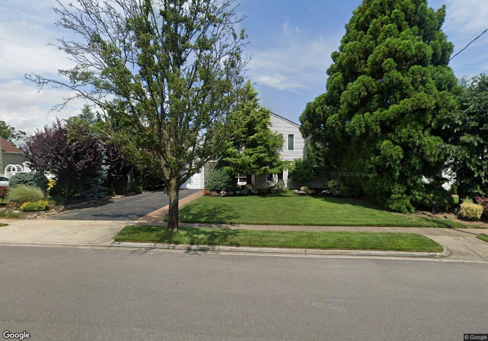
345 Wynsum Ave Merrick, NY 11566
Estimated Value: $961,000 - $978,573
3
Beds
2
Baths
2,190
Sq Ft
$443/Sq Ft
Est. Value
About This Home
This home is located at 345 Wynsum Ave, Merrick, NY 11566 and is currently estimated at $969,787, approximately $442 per square foot. 345 Wynsum Ave is a home located in Nassau County with nearby schools including Burcham Elementary School, Merrick Avenue Middle School, and John F. Kennedy High School.
Ownership History
Date
Name
Owned For
Owner Type
Purchase Details
Closed on
May 17, 2017
Sold by
Zappala Frank and Zappala Cathernine
Bought by
Meyer Karl and Clemente Erika
Current Estimated Value
Home Financials for this Owner
Home Financials are based on the most recent Mortgage that was taken out on this home.
Original Mortgage
$536,222
Outstanding Balance
$446,179
Interest Rate
4.12%
Mortgage Type
FHA
Estimated Equity
$523,608
Create a Home Valuation Report for This Property
The Home Valuation Report is an in-depth analysis detailing your home's value as well as a comparison with similar homes in the area
Home Values in the Area
Average Home Value in this Area
Purchase History
| Date | Buyer | Sale Price | Title Company |
|---|---|---|---|
| Meyer Karl | $620,000 | Stewart Title |
Source: Public Records
Mortgage History
| Date | Status | Borrower | Loan Amount |
|---|---|---|---|
| Open | Meyer Karl | $536,222 |
Source: Public Records
Tax History Compared to Growth
Tax History
| Year | Tax Paid | Tax Assessment Tax Assessment Total Assessment is a certain percentage of the fair market value that is determined by local assessors to be the total taxable value of land and additions on the property. | Land | Improvement |
|---|---|---|---|---|
| 2025 | $19,883 | $655 | $278 | $377 |
| 2024 | $4,633 | $655 | $278 | $377 |
| 2023 | $18,756 | $655 | $278 | $377 |
| 2022 | $18,756 | $655 | $278 | $377 |
| 2021 | $25,990 | $629 | $267 | $362 |
| 2020 | $18,518 | $930 | $520 | $410 |
| 2019 | $17,691 | $930 | $520 | $410 |
| 2018 | $16,615 | $1,287 | $0 | $0 |
| 2017 | $14,809 | $1,287 | $720 | $567 |
| 2016 | $20,317 | $1,287 | $720 | $567 |
| 2015 | $5,107 | $1,287 | $720 | $567 |
| 2014 | $5,107 | $1,287 | $720 | $567 |
| 2013 | $4,833 | $1,287 | $720 | $567 |
Source: Public Records
Map
Nearby Homes
- 110 Hampton Way
- 2810 Wynsum Ave
- 217 Bayview Ave
- 1360-1370 Merrick Rd
- 23 Bay St
- 2072 Brighton Way
- 163 Wynsum Ave
- 72 Lake End Rd
- 119 Ocean Ave
- 2956 Judith Dr
- 1945 Byron Rd
- 2819 Harbor Rd
- 14 Bell Ct
- 2476 Florin Ct
- 2492 Lefferts Place
- 2542 Lefferts Place
- 2466 Army Place
- 2884 Bay Dr
- 2729 Shore Dr
- 2863 Harbor Rd
- 339 Wynsum Ave
- 351 Wynsum Ave
- 348 Frankel Blvd
- 2719 Wynsum Ave
- 342 Frankel Blvd
- 350 Frankel Blvd
- 333 Wynsum Ave
- 357 Wynsum Ave
- 356 Frankel Blvd
- 2694 Frankel Blvd
- 338 Wynsum Ave
- 2356 Wynsum Ave
- 2346 Wynsum Ave
- 327 Wynsum Ave
- 2727 Wynsum Ave
- 332 Wynsum Ave
- 2716 Wynsum Ave
- 330 Frankel Blvd
- 368 Frankel Blvd
- 2683 Wynsum Ave