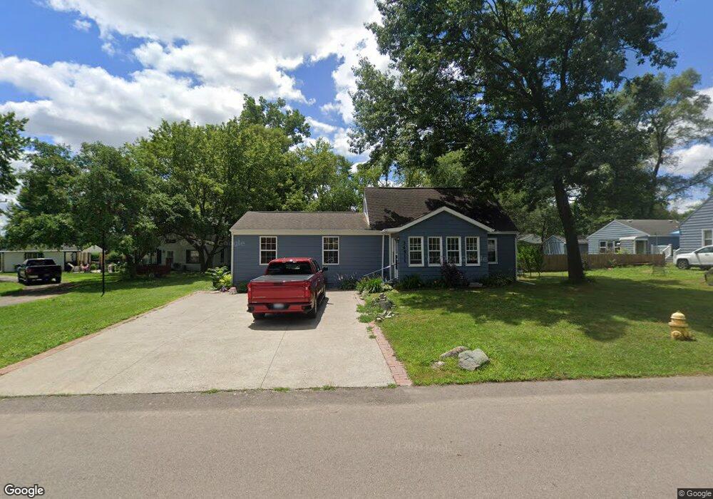
34511 Pardo St Unit Bldg-Unit Westland, MI 48185
Estimated Value: $165,000 - $231,000
--
Bed
1
Bath
1,552
Sq Ft
$128/Sq Ft
Est. Value
About This Home
This home is located at 34511 Pardo St Unit Bldg-Unit, Westland, MI 48185 and is currently estimated at $199,360, approximately $128 per square foot. 34511 Pardo St Unit Bldg-Unit is a home located in Wayne County with nearby schools including Wildwood Elementary School, Marshall Upper Elementary School, and Adlai Stevenson Middle School.
Ownership History
Date
Name
Owned For
Owner Type
Purchase Details
Closed on
Feb 2, 2018
Sold by
Golnzalez Luis and Golnzalez Jennifer
Bought by
Ruiz Armando
Current Estimated Value
Purchase Details
Closed on
Jul 24, 2017
Sold by
Flatiron Holdings Llc
Bought by
Gonzalez Luis
Purchase Details
Closed on
Sep 28, 2012
Sold by
Armosa Group Llc
Bought by
Flat Iron Holdings Llc
Purchase Details
Closed on
Jan 5, 2011
Sold by
The Bank Of New York Mellon
Bought by
Arnosa Group Llc
Purchase Details
Closed on
May 14, 2009
Sold by
Trudell Dianne W
Bought by
The Bank Of New York Mellon
Purchase Details
Closed on
Dec 21, 2001
Sold by
Redmond Alva F
Bought by
Trudell Dianne W
Create a Home Valuation Report for This Property
The Home Valuation Report is an in-depth analysis detailing your home's value as well as a comparison with similar homes in the area
Home Values in the Area
Average Home Value in this Area
Purchase History
| Date | Buyer | Sale Price | Title Company |
|---|---|---|---|
| Ruiz Armando | $60,000 | None Available | |
| Gonzalez Luis | -- | None Available | |
| Flat Iron Holdings Llc | -- | None Available | |
| Arnosa Group Llc | -- | None Available | |
| The Bank Of New York Mellon | $60,765 | None Available | |
| Trudell Dianne W | $40,000 | -- |
Source: Public Records
Tax History Compared to Growth
Tax History
| Year | Tax Paid | Tax Assessment Tax Assessment Total Assessment is a certain percentage of the fair market value that is determined by local assessors to be the total taxable value of land and additions on the property. | Land | Improvement |
|---|---|---|---|---|
| 2025 | $3,372 | $89,700 | $0 | $0 |
| 2024 | $3,372 | $78,800 | $0 | $0 |
| 2023 | $3,217 | $65,900 | $0 | $0 |
| 2022 | $3,479 | $59,900 | $0 | $0 |
| 2021 | $3,410 | $56,600 | $0 | $0 |
| 2020 | $3,368 | $49,700 | $0 | $0 |
| 2019 | $3,266 | $48,600 | $0 | $0 |
| 2018 | $1,147 | $39,400 | $0 | $0 |
| 2017 | $1,777 | $38,900 | $0 | $0 |
| 2016 | $2,768 | $37,100 | $0 | $0 |
| 2015 | $2,839 | $31,350 | $0 | $0 |
| 2013 | $3,061 | $31,590 | $0 | $0 |
| 2012 | $3,676 | $31,770 | $0 | $0 |
Source: Public Records
Map
Nearby Homes
- 34752 John Hauk St
- 34802 Pardo St
- 1680 N Hanlon St
- 1605 N Hanlon St
- 1654 Shoemaker Dr Unit 145
- 34241 Marquette St
- 33640 Birchlawn
- 1309 Shoemaker Dr
- 33540 Birchlawn
- 33435 Krauter St
- 33545 Hennepin St
- 33494 Brown St
- 960 Radcliff St
- 1240 Farmington Rd
- 0 N Wayne Rd
- 7051 Wayne Rd
- 35209 Sheridan St
- 34203 Tomahawk Dr
- 35228 Rosslyn St
- 35833 Ford Rd
- 34511 Pardo St
- 34537 Pardo St
- 34424 John Hauk St
- 34437 Pardo St
- 34549 Pardo St
- 34404 John Hauk St
- 34520 John Hauk St
- 34524 Pardo St
- 34542 John Hauk St
- 34540 Pardo St
- 34364 John Hauk St
- 34554 John Hauk St
- 34418 Pardo St
- 34566 Pardo St
- 34571 Pardo St
- 34566 John Hauk St
- 34578 John Hauk St
- 34584 Pardo St
- 34590 John Hauk St
- 34505 Ford Rd