34541 N Us Highway 101 Unit 21 Lilliwaup, WA 98555
Estimated Value: $360,000 - $698,346
1
Bed
1
Bath
3,924
Sq Ft
$128/Sq Ft
Est. Value
About This Home
This home is located at 34541 N Us Highway 101 Unit 21, Lilliwaup, WA 98555 and is currently estimated at $502,449, approximately $128 per square foot. 34541 N Us Highway 101 Unit 21 is a home located in Mason County with nearby schools including Hood Canal Elementary/Junior High School.
Ownership History
Date
Name
Owned For
Owner Type
Purchase Details
Closed on
Aug 7, 2025
Sold by
Jorstad Creek Campgrounds Inc
Bought by
Bremerton Environmental Labs Inc
Current Estimated Value
Home Financials for this Owner
Home Financials are based on the most recent Mortgage that was taken out on this home.
Original Mortgage
$150,000
Outstanding Balance
$149,869
Interest Rate
6.67%
Mortgage Type
New Conventional
Estimated Equity
$352,580
Create a Home Valuation Report for This Property
The Home Valuation Report is an in-depth analysis detailing your home's value as well as a comparison with similar homes in the area
Home Values in the Area
Average Home Value in this Area
Purchase History
| Date | Buyer | Sale Price | Title Company |
|---|---|---|---|
| Bremerton Environmental Labs Inc | $278,125 | Horizon Title Group |
Source: Public Records
Mortgage History
| Date | Status | Borrower | Loan Amount |
|---|---|---|---|
| Open | Bremerton Environmental Labs Inc | $150,000 |
Source: Public Records
Tax History Compared to Growth
Tax History
| Year | Tax Paid | Tax Assessment Tax Assessment Total Assessment is a certain percentage of the fair market value that is determined by local assessors to be the total taxable value of land and additions on the property. | Land | Improvement |
|---|---|---|---|---|
| 2025 | $3,750 | $640,030 | $177,520 | $462,510 |
| 2023 | $3,750 | $594,785 | $155,170 | $439,615 |
| 2022 | $3,985 | $500,005 | $147,780 | $352,225 |
| 2021 | $4,475 | $500,005 | $147,780 | $352,225 |
| 2020 | $4,573 | $485,930 | $166,045 | $319,885 |
| 2018 | $4,283 | $447,010 | $141,470 | $305,540 |
| 2017 | $3,838 | $447,055 | $141,515 | $305,540 |
| 2016 | $3,722 | $424,475 | $134,775 | $289,700 |
| 2015 | $3,785 | $424,475 | $134,775 | $289,700 |
| 2014 | -- | $424,475 | $134,775 | $289,700 |
| 2013 | -- | $420,000 | $65,000 | $355,000 |
Source: Public Records
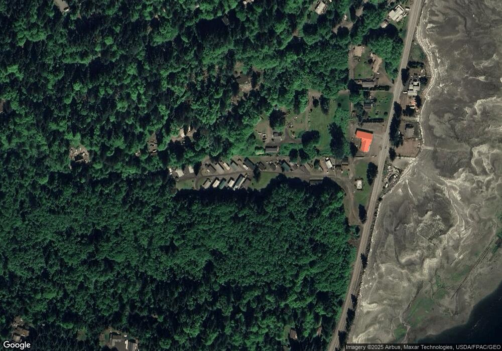
Map
Nearby Homes
- 171 N Sylvester Ln
- 221 N Trail Head Loop
- 211 N Hamma Ridge Dr
- 91 N Hood View Place
- 790 N Hamma Ridge Dr
- 0 N Hamma Ridge Ct
- 9 Highway 101
- 150 N Ayock Beach Dr
- 131 N Paradise Dr
- 311 N Paradise Dr
- 140 N Spindrift Dr
- 41 N Paradise Dr
- 61 N Picnic Dr
- 21 N Napilikai Dr
- 321 N Lake Surf Dr
- 111 N Colony Surf Dr
- 971 N Colony Surf Dr
- 60 N Diamond Head Dr
- 32241 N Us Highway 101
- 147 N Shar Ln
- 113 N Jorsted Cr St
- 113 N Jorstad Creek Rd
- 34611 N Us Highway 101
- 111 N Jorstad Creek Rd
- 300 N Sylvester Ln
- 190 N Sylvester Ln
- 42 Olympic Trails Dr
- 491 N Jorstad Creek Rd
- 61 Trail Head Loop
- 61 N Sylvester Ln
- 61 N Rail Head Loop
- 210 N Hamma Ridge Dr
- 491 N Jorsted Creek Rd
- 80 N Olympic Trails Dr
- 34591 N Us Highway 101
- 34591 N Us Highway 101
- 34325 N Us Highway 101
- 0 NSN N Sylvester Ln
- 80 N Jorsted Creek Rd
- 20 Trail Head Loop