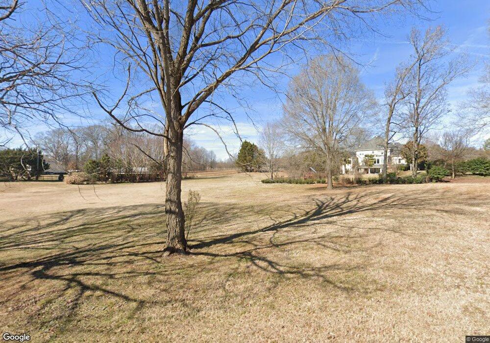
3455 Caroland Dr Fort Mill, SC 29708
Gold Hill NeighborhoodEstimated Value: $290,000 - $429,000
4
Beds
5
Baths
6,970
Sq Ft
$54/Sq Ft
Est. Value
About This Home
This home is located at 3455 Caroland Dr, Fort Mill, SC 29708 and is currently estimated at $379,000, approximately $54 per square foot. 3455 Caroland Dr is a home located in York County with nearby schools including Springfield Elementary School, Springfield Middle School, and Nation Ford High School.
Ownership History
Date
Name
Owned For
Owner Type
Purchase Details
Closed on
Aug 15, 2017
Sold by
Goins Byrnes Karen F
Bought by
Vowell Kasey Ray and Vowell Elaine R
Current Estimated Value
Home Financials for this Owner
Home Financials are based on the most recent Mortgage that was taken out on this home.
Original Mortgage
$695,865
Outstanding Balance
$580,646
Interest Rate
3.96%
Mortgage Type
VA
Estimated Equity
-$201,646
Purchase Details
Closed on
May 23, 2016
Sold by
The Declaration Revocable Trust
Bought by
Goins Byrnes Karen F
Purchase Details
Closed on
Apr 27, 2016
Sold by
Gonis Byrnes Karen F and Estate Of Steven Patrick Byrne
Bought by
Goins Byrnes Karen F
Purchase Details
Closed on
Feb 26, 2016
Sold by
Bishop Larry E
Bought by
Bishop Michael A
Create a Home Valuation Report for This Property
The Home Valuation Report is an in-depth analysis detailing your home's value as well as a comparison with similar homes in the area
Home Values in the Area
Average Home Value in this Area
Purchase History
| Date | Buyer | Sale Price | Title Company |
|---|---|---|---|
| Vowell Kasey Ray | $57,900 | None Available | |
| Goins Byrnes Karen F | -- | None Available | |
| Goins Byrnes Karen F | -- | None Available | |
| Bishop Michael A | -- | -- |
Source: Public Records
Mortgage History
| Date | Status | Borrower | Loan Amount |
|---|---|---|---|
| Open | Vowell Kasey Ray | $695,865 |
Source: Public Records
Tax History Compared to Growth
Tax History
| Year | Tax Paid | Tax Assessment Tax Assessment Total Assessment is a certain percentage of the fair market value that is determined by local assessors to be the total taxable value of land and additions on the property. | Land | Improvement |
|---|---|---|---|---|
| 2024 | $1,973 | $3,995 | $3,995 | $0 |
| 2023 | $1,864 | $3,995 | $3,995 | $0 |
| 2022 | $1,722 | $3,995 | $3,995 | $0 |
| 2021 | -- | $3,995 | $3,995 | $0 |
| 2020 | $1,660 | $3,995 | $0 | $0 |
| 2019 | $1,544 | $3,474 | $0 | $0 |
| 2018 | $1,539 | $3,474 | $0 | $0 |
| 2017 | $483 | $3,474 | $0 | $0 |
| 2016 | $3,945 | $28,770 | $0 | $0 |
| 2014 | $3,345 | $19,180 | $3,600 | $15,580 |
| 2013 | $3,345 | $23,460 | $3,600 | $19,860 |
Source: Public Records
Map
Nearby Homes
- 14009 Lambert Castle Dr
- 13308 Emerald Branch Ln
- 15615 Smith Boyd Rd
- 16200 Winfield Hall Dr
- 14124 Southbridge Forest Dr
- 13422 Canterbury Castle Dr
- 525 Hunters Dance Rd
- 3559 Nestling Ln
- 518 Hunters Dance Rd
- 12708 Hamilton Rd
- 15115 Superior St
- 15808 Circlegreen Dr
- 315 River Clay Rd
- 463 Hunters Dance Rd
- 618 Chase Ct
- 657 Chase Ct
- 878 Treasure Ct
- 263 River Clay Rd
- 148 Council House Rd
- 12517 Pine Terrace Ct
- 11917 Hamilton Rd
- 3430 Caroland Dr
- 576 Fair Oaks Dr Unit 105
- 576 Fair Oaks Dr
- 12021 Hamilton Rd
- 371 Lorraine Rd
- 443 Glandon Ct
- 443 Glandon Ct Unit 120
- 572 Fair Oaks Dr
- 367 Lorraine Rd
- 446 Glandon Ct
- 446 Glandon Ct Unit 121
- 11953 Hamilton Rd
- 439 Glandon Ct
- 363 Lorraine Rd
- 568 Fair Oaks Dr
- 442 Glandon Ct
- 567 Fair Oaks Dr
- 435 Glandon Ct
- 435 Glandon Ct Unit Sdv Ph 02 Sec 01