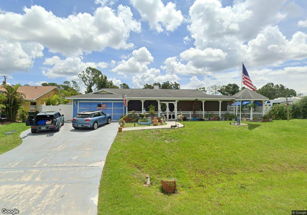
3456 Briant St North Port, FL 34287
Estimated Value: $352,000 - $382,000
3
Beds
2
Baths
1,996
Sq Ft
$186/Sq Ft
Est. Value
About This Home
This home is located at 3456 Briant St, North Port, FL 34287 and is currently estimated at $370,329, approximately $185 per square foot. 3456 Briant St is a home located in Sarasota County with nearby schools including North Port High School, Cranberry Elementary School, and Heron Creek Middle School.
Ownership History
Date
Name
Owned For
Owner Type
Purchase Details
Closed on
Jan 14, 2000
Sold by
Obrien Richard P and Obrien Cheryl K
Bought by
Brown Walter F and Brown Debra L
Current Estimated Value
Home Financials for this Owner
Home Financials are based on the most recent Mortgage that was taken out on this home.
Original Mortgage
$120,961
Outstanding Balance
$38,548
Interest Rate
7.88%
Mortgage Type
FHA
Estimated Equity
$331,781
Create a Home Valuation Report for This Property
The Home Valuation Report is an in-depth analysis detailing your home's value as well as a comparison with similar homes in the area
Home Values in the Area
Average Home Value in this Area
Purchase History
| Date | Buyer | Sale Price | Title Company |
|---|---|---|---|
| Brown Walter F | $124,000 | -- |
Source: Public Records
Mortgage History
| Date | Status | Borrower | Loan Amount |
|---|---|---|---|
| Open | Brown Walter F | $120,961 |
Source: Public Records
Tax History Compared to Growth
Tax History
| Year | Tax Paid | Tax Assessment Tax Assessment Total Assessment is a certain percentage of the fair market value that is determined by local assessors to be the total taxable value of land and additions on the property. | Land | Improvement |
|---|---|---|---|---|
| 2024 | $2,313 | $143,051 | -- | -- |
| 2023 | $2,313 | $138,884 | $0 | $0 |
| 2022 | $1,847 | $112,703 | $0 | $0 |
| 2021 | $1,837 | $109,420 | $0 | $0 |
| 2020 | $1,750 | $104,260 | $0 | $0 |
| 2019 | $1,697 | $101,916 | $0 | $0 |
| 2018 | $1,563 | $100,016 | $0 | $0 |
| 2017 | $1,531 | $97,959 | $0 | $0 |
| 2016 | $1,500 | $136,300 | $6,900 | $129,400 |
| 2015 | $1,512 | $116,000 | $6,000 | $110,000 |
| 2014 | $1,494 | $93,124 | $0 | $0 |
Source: Public Records
Map
Nearby Homes
- lot 16BLK 285 Houston Ln
- LOT 8 BLK 285 Houston Ln
- 3300 S Salford Blvd
- 3956 Fairchild Ave
- 3751 S Salford Blvd
- 4379 Houston Ln
- 4297 Boeing Ln
- 4220 Doblins Rd
- 3005 Briant St
- 3569 Pinstar Terrace
- #2 Sargon Ave
- #3 Sargon Ave
- #1 Sargon Ave
- #1 & #2 Sargon Ave
- 0 Cunliffe Rd Unit 225005677
- 0 Cunliffe Rd
- 3714 Lothair Ave
- 0 Wooley Ave Unit A4539985
- 0 Wooley Ave Unit A4539983
- 3767 Pinstar Terrace
- 3406 Briant St
- 3383 S Salford Blvd
- Houston Ln
- Houston Ln
- 4107 Houston Ln
- 4120 Wall Ln
- 4070 Wall Ln
- 3353 S Salford Blvd
- 3451 S Salford Blvd
- 3378 Briant St
- 4106 Houston Ln
- 3343 S Salford Blvd
- 4157 Houston Ln
- 3374 S Salford Blvd
- 4087 Wall Ln
- 3364 S Salford Blvd
- S/N Wall Ln
- 4156 Houston Ln
- 3333 S Salford Blvd
- 4065 Wall Ln