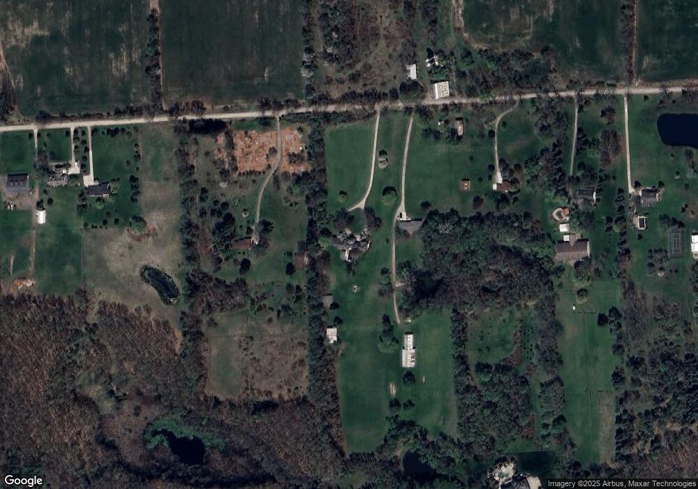
3456 Taft Rd Bruce Township, MI 48065
Estimated Value: $709,330 - $832,000
4
Beds
3
Baths
3,834
Sq Ft
$201/Sq Ft
Est. Value
About This Home
This home is located at 3456 Taft Rd, Bruce Township, MI 48065 and is currently estimated at $772,110, approximately $201 per square foot. 3456 Taft Rd is a home located in Macomb County with nearby schools including Hamilton Parsons Elementary School.
Ownership History
Date
Name
Owned For
Owner Type
Purchase Details
Closed on
Sep 4, 2018
Sold by
Mcleod Joseph and Mcleod Deborah C
Bought by
Mcleod Deborah C and Pawlaczyk Leah M
Current Estimated Value
Purchase Details
Closed on
May 25, 2016
Sold by
Mcleod Joseph and Mcleod Deborah C
Bought by
Mcleod Joseph and Mcleod Deborah C
Home Financials for this Owner
Home Financials are based on the most recent Mortgage that was taken out on this home.
Original Mortgage
$688,752
Outstanding Balance
$549,772
Interest Rate
3.66%
Mortgage Type
VA
Estimated Equity
$222,338
Purchase Details
Closed on
Sep 9, 1998
Sold by
Zanotti Joseph R
Bought by
Mcleod Joseph
Create a Home Valuation Report for This Property
The Home Valuation Report is an in-depth analysis detailing your home's value as well as a comparison with similar homes in the area
Home Values in the Area
Average Home Value in this Area
Purchase History
| Date | Buyer | Sale Price | Title Company |
|---|---|---|---|
| Mcleod Deborah C | -- | None Available | |
| Mcleod Joseph | -- | Attorney | |
| Mcleod Joseph | $300,000 | -- |
Source: Public Records
Mortgage History
| Date | Status | Borrower | Loan Amount |
|---|---|---|---|
| Open | Mcleod Joseph | $688,752 |
Source: Public Records
Tax History Compared to Growth
Tax History
| Year | Tax Paid | Tax Assessment Tax Assessment Total Assessment is a certain percentage of the fair market value that is determined by local assessors to be the total taxable value of land and additions on the property. | Land | Improvement |
|---|---|---|---|---|
| 2025 | $6,556 | $370,400 | $0 | $0 |
| 2024 | $4,482 | $355,700 | $0 | $0 |
| 2023 | $4,320 | $313,600 | $0 | $0 |
| 2022 | $5,995 | $283,900 | $0 | $0 |
| 2021 | $5,867 | $278,800 | $0 | $0 |
| 2020 | $4,010 | $281,900 | $0 | $0 |
| 2019 | $3,614 | $265,600 | $0 | $0 |
| 2018 | $5,288 | $222,470 | $0 | $0 |
| 2017 | $5,051 | $230,259 | $59,365 | $170,894 |
| 2016 | $5,056 | $215,670 | $0 | $0 |
| 2015 | -- | $192,170 | $0 | $0 |
| 2014 | -- | $172,260 | $42,970 | $129,290 |
| 2011 | -- | $157,910 | $37,930 | $119,980 |
Source: Public Records
Map
Nearby Homes
- 3999 Taft Rd
- 3620 33 Mile Rd
- 70903 Renata Ct
- 70910 Renata Ct
- 70795 Renata Ct
- 70609 Renata Ct
- 70501 Renata Ct
- 2101 33 Mile Rd
- 69951 Wildflower Ln Unit 18
- 1783 Brewer Rd
- 1779 Mack Rd
- 69308 Pine River Dr Unit 3
- 5959 34 Mile Rd
- 69166 Slating Ln
- 69225 Lake Point Ct
- 990 Brewer Rd
- 906 Yule Rd
- 7295 Taft Rd
- 2148 Hidden Ln
- 69416 Brookhill Dr
- 3350 Taft Rd
- 3554 Taft Rd
- 3750 Taft Rd
- 3000 Taft Rd
- 3539 33 Mile Rd
- 3838 Taft Rd
- 3701 Taft Rd
- 3950 Taft Rd
- 3377 33 Mile Rd
- 2990 Taft Rd
- 71341 Cedar Bend Ln
- 71227 Cedar Bend Ln Unit 2
- 71341 Cedar Bend Ln Unit 3
- 3315 33 Mile Rd
- 3225 33 Mile Rd
- 4040 Taft Rd
- 71050 Cedar Bend Ln
- 70900 Carnegie Ln
- 70901 Carnegie Ln
- 2925 33 Mile Rd