3457 Forrest Rd Hogansville, GA 30230
Estimated Value: $275,000 - $375,000
--
Bed
--
Bath
1,564
Sq Ft
$205/Sq Ft
Est. Value
About This Home
This home is located at 3457 Forrest Rd, Hogansville, GA 30230 and is currently estimated at $320,309, approximately $204 per square foot. 3457 Forrest Rd is a home located in Meriwether County with nearby schools including George E. Washington Elementary School.
Ownership History
Date
Name
Owned For
Owner Type
Purchase Details
Closed on
Jan 27, 2015
Sold by
Robinson Ronnie
Bought by
Robinson Ronnie and Robinson Betty Sue
Current Estimated Value
Purchase Details
Closed on
Dec 5, 2005
Sold by
Robinson Eileen B
Bought by
Robinson Ronnie
Purchase Details
Closed on
Mar 25, 1999
Sold by
Gazaway Joseph Randa
Bought by
Robinson Eileen B
Purchase Details
Closed on
Mar 25, 1997
Sold by
Dettmering Thomas Le
Bought by
Rabern Nolan L
Purchase Details
Closed on
Feb 26, 1997
Sold by
Rabern Nolan L
Bought by
Gazaway Joseph Randa
Purchase Details
Closed on
Jan 1, 1990
Sold by
Pb 14 Pg 87
Bought by
Dettmering Thomas Le
Create a Home Valuation Report for This Property
The Home Valuation Report is an in-depth analysis detailing your home's value as well as a comparison with similar homes in the area
Home Values in the Area
Average Home Value in this Area
Purchase History
| Date | Buyer | Sale Price | Title Company |
|---|---|---|---|
| Robinson Ronnie | -- | -- | |
| Robinson Ronnie | -- | -- | |
| Robinson Eileen B | $23,500 | -- | |
| Rabern Nolan L | $4,900 | -- | |
| Gazaway Joseph Randa | -- | -- | |
| Dettmering Thomas Le | $8,000 | -- |
Source: Public Records
Tax History Compared to Growth
Tax History
| Year | Tax Paid | Tax Assessment Tax Assessment Total Assessment is a certain percentage of the fair market value that is determined by local assessors to be the total taxable value of land and additions on the property. | Land | Improvement |
|---|---|---|---|---|
| 2024 | $1,587 | $82,252 | $11,080 | $71,172 |
| 2023 | $1,567 | $56,252 | $11,080 | $45,172 |
| 2022 | $1,567 | $56,252 | $11,080 | $45,172 |
| 2021 | $1,591 | $56,252 | $11,080 | $45,172 |
| 2020 | $1,604 | $56,252 | $11,080 | $45,172 |
| 2019 | $1,563 | $55,212 | $11,080 | $44,132 |
| 2018 | $1,586 | $55,212 | $11,080 | $44,132 |
| 2017 | $1,537 | $49,692 | $11,080 | $38,612 |
| 2016 | $1,389 | $49,692 | $11,080 | $38,612 |
| 2015 | $931 | $35,768 | $15,920 | $19,848 |
Source: Public Records
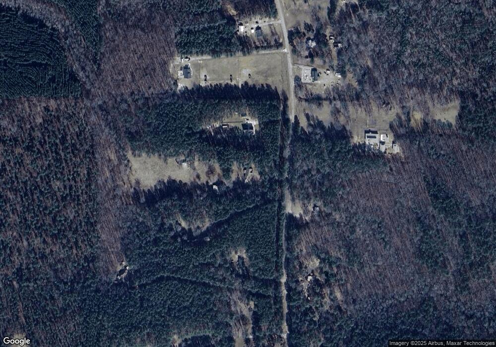
Map
Nearby Homes
- 3535 Forrest Rd
- 98.81 Ellis Rd
- 1511 Forrest Rd
- 5418 Forrest Rd
- 6608 Highway 100
- 964 Forrest Rd
- 209 Hannah Ct
- 865 Forrest Rd
- 1314 Tenny Nelson Rd
- 0 Amanda Ct Unit 10552958
- 0 Amanda Ct Unit 7604243
- 95 Amanda Ct
- 1479 Primrose Rd
- 516 Tenney Nelson Rd
- 441 Evelyn Dr Unit LOT 16
- 5151 Primrose Rd
- 5582 Georgia 100
- The Millie Plan at Primrose Road
- The Bradford Plan at Primrose Road
- The Coleman Plan at Shallow Valley
- 3459 Forrest Rd
- 3535 Forrest Rd
- 3325 Forrest Rd
- 3414 Forrest Rd
- 3611 Forrest Rd
- 3271 Forrest Rd
- 3290 Forrest Rd
- 3269 Forrest Rd
- 3594 Forrest Rd
- 3653 Forrest Rd
- 3632 Forrest Rd
- 3226 Forrest Rd
- 3255 Forrest Rd
- 3729 Forrest Rd
- 3694 Forrest Rd
- 3725 Forrest Rd
- 3508 Forrest Rd
- 3187 Forrest Rd
- 0 Stinson Ln Unit 7283979
- 3783 Forrest Rd