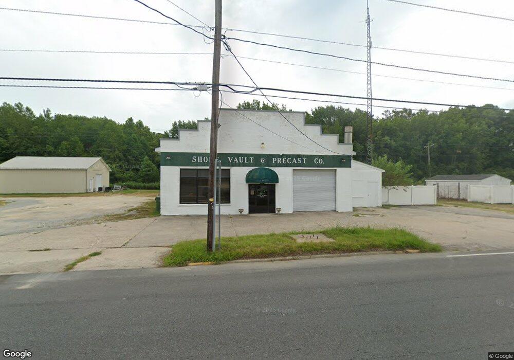
3457 Main St Exmore, VA 23350
Estimated Value: $1,522,152
About This Home
This home is located at 3457 Main St, Exmore, VA 23350 and is currently estimated at $1,522,152, approximately $677 per square foot. 3457 Main St is a home located in Northampton County with nearby schools including Northampton High School, Shore Christian Academy, and Broadwater Academy.
Ownership History
We collect this data history from publicly available records. To have your information removed, we recommend requesting removal directly through your county’s website.
Purchase Details
Home Financials for this Owner
Home Financials are based on the most recent Mortgage that was taken out on this home.Home Values in the Area
Average Home Value in this Area
Purchase History
We collect this data history from publicly available records. To have your information removed, we recommend requesting removal directly through your county’s website.
| Date | Buyer | Sale Price | Title Company |
|---|---|---|---|
| $1,400,000 | Fidelity National Title |
Mortgage History
We collect this data history from publicly available records. To have your information removed, we recommend requesting removal directly through your county’s website.
| Date | Status | Borrower | Loan Amount |
|---|---|---|---|
| Open | $1,390,000 |
Tax History
We collect this data history from publicly available records. To have your information removed, we recommend requesting removal directly through your county’s website.
| Year | Tax Paid | Tax Assessment Tax Assessment Total Assessment is a certain percentage of the fair market value that is determined by local assessors to be the total taxable value of land and additions on the property. | Land | Improvement |
|---|---|---|---|---|
| 2025 | $295 | $41,800 | $18,000 | $23,800 |
| 2024 | $286 | $41,800 | $18,000 | $23,800 |
| 2023 | $410 | $53,900 | $18,000 | $35,900 |
| 2022 | $410 | $53,900 | $18,000 | $35,900 |
| 2021 | $450 | $53,900 | $18,000 | $35,900 |
| 2020 | $450 | $53,900 | $18,000 | $35,900 |
| 2019 | $447 | $53,900 | $18,000 | $35,900 |
| 2018 | $447 | $53,900 | $18,000 | $35,900 |
| 2017 | $477 | $53,900 | $18,000 | $35,900 |
| 2016 | $477 | $57,500 | $18,000 | $39,500 |
| 2015 | -- | $57,500 | $18,000 | $39,500 |
| 2011 | -- | $92,500 | $25,000 | $67,500 |
Map
- 3359 Main St
- 11505 Holly Cir
- 3415 Willis Wharf Rd
- 4092 Main St
- 00 Front St Unit A
- 0 Benjamin Street and Lankford Hwy Unit VANH2000036
- 3264 Jackson St
- 12 ACRES Willis Wharf Rd Unit 93
- F-7 Ruth Wise Rd
- C-4 Ruth Wise Rd
- B-3 Ruth Wise Rd
- E-6 Ruth Wise Rd
- D-5 Ruth Wise Rd
- A-2 Ruth Wise Rd
- 3146 Monroe Ave
- 4247 Hadlock Rd
- 11334 Jane Pittman St
- 0 Lankford Hwy Unit 82
- C & D Lankford Hwy Unit C & D
- 5.75 AC Lankford Hwy
- 3444 Main St
- 00 Main St Unit 3
- 0 Main St Unit 40264
- 0 Main St Unit 30980
- 0 Main St Unit 34225
- 0 Main St Unit 2&3 17190
- 0 Main St
- 00000 Main St
- Lot A Main St Unit A
- Lot A Main St
- 3462 Main St
- 3421 Main St
- 3415 Main St
- 3411 Main St
- 3405 Main St
- 3397 Main St
- 3516 Main St
- 3399 Broad St
- 3385 Main St
- 3371 Main St
Ask me questions while you tour the home.