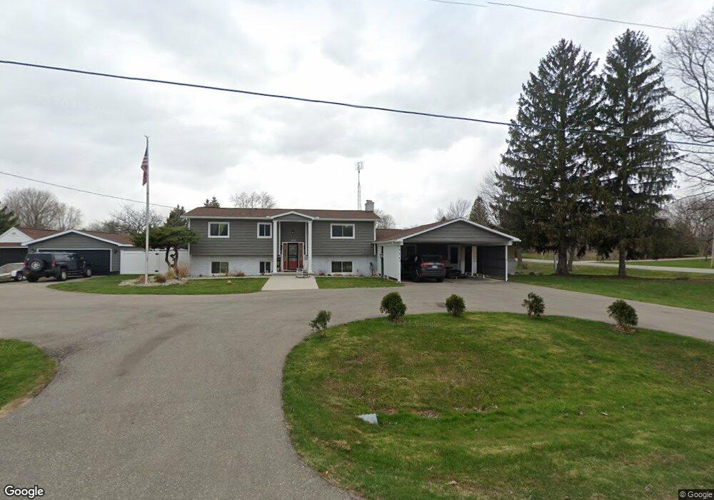
3458 Lang Rd Davison, MI 48423
Estimated Value: $349,000 - $409,000
6
Beds
3
Baths
2,048
Sq Ft
$182/Sq Ft
Est. Value
About This Home
This home is located at 3458 Lang Rd, Davison, MI 48423 and is currently estimated at $372,103, approximately $181 per square foot. 3458 Lang Rd is a home located in Genesee County with nearby schools including Thomson Elementary School, Gates Elementary School, and Hill Elementary School.
Ownership History
Date
Name
Owned For
Owner Type
Purchase Details
Closed on
Mar 15, 2013
Sold by
Deaver Wade and Deaver Susan
Bought by
Waybrant Ii Myles Edward and Waybrant Cheryl
Current Estimated Value
Home Financials for this Owner
Home Financials are based on the most recent Mortgage that was taken out on this home.
Original Mortgage
$124,325
Interest Rate
4.5%
Mortgage Type
FHA
Purchase Details
Closed on
Nov 5, 2010
Sold by
Campeau Robert L
Bought by
Deaver Wade
Create a Home Valuation Report for This Property
The Home Valuation Report is an in-depth analysis detailing your home's value as well as a comparison with similar homes in the area
Home Values in the Area
Average Home Value in this Area
Purchase History
| Date | Buyer | Sale Price | Title Company |
|---|---|---|---|
| Waybrant Ii Myles Edward | $139,900 | Clearstream Title | |
| Deaver Wade | $139,900 | Sargents Title Company |
Source: Public Records
Mortgage History
| Date | Status | Borrower | Loan Amount |
|---|---|---|---|
| Previous Owner | Waybrant Ii Myles Edward | $124,325 |
Source: Public Records
Tax History
| Year | Tax Paid | Tax Assessment Tax Assessment Total Assessment is a certain percentage of the fair market value that is determined by local assessors to be the total taxable value of land and additions on the property. | Land | Improvement |
|---|---|---|---|---|
| 2025 | $3,131 | $163,800 | $0 | $0 |
| 2024 | $882 | $153,600 | $0 | $0 |
| 2023 | $841 | $147,500 | $0 | $0 |
| 2022 | $2,843 | $130,100 | $0 | $0 |
| 2021 | $2,819 | $115,200 | $0 | $0 |
| 2020 | $769 | $103,700 | $0 | $0 |
| 2019 | $757 | $87,000 | $0 | $0 |
| 2018 | $2,772 | $84,400 | $0 | $0 |
| 2017 | $2,271 | $84,400 | $0 | $0 |
| 2016 | $2,236 | $74,700 | $0 | $0 |
| 2015 | -- | $67,600 | $0 | $0 |
| 2012 | -- | $60,700 | $60,700 | $0 |
Source: Public Records
Map
Nearby Homes
- 8107 E Bristol Rd
- 0000 E Bristol Rd
- 9338 Orchard Valley Ln
- 9111 Copper Ridge Ct
- 9161 Copper Ridge Dr
- 7115 Kessling St
- 9057 Copper Ridge Dr Unit 81
- 9247 Copper Ridge Dr Unit 2
- 9005 Championship Dr
- V/L Rivershyre Pkwy
- 9121 E Bristol Rd
- 8451 Woodridge Dr
- 8398 Mapleview Dr
- 2231 Antrim Dr
- 2223 Antrim Dr
- 9268 La Spezia Dr
- 3194 S Vassar Rd
- 7069 E Atherton Rd
- 9519 Country Club Ln
- 8216 Barden Rd
- 8204 Barden Rd
- 8247 Barden Rd
- 8237 Barden Rd
- 8228 Barden Rd
- 3463 Lang Rd
- 8217 Barden Rd
- 8194 Barden Rd
- 8205 Barden Rd
- 8184 Barden Rd
- 3481 Lang Rd
- 8195 Barden Rd
- 8275 E Bristol Rd
- 8191 E Bristol Rd
- 8176 Barden Rd
- 8185 Barden Rd
- 8175 Barden Rd
- 8166 Barden Rd
- 8181 E Bristol Rd
- 8291 E Bristol Rd
Your Personal Tour Guide
Ask me questions while you tour the home.