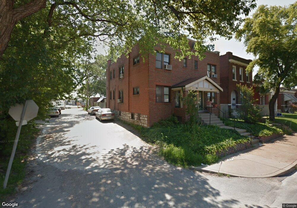
3458 Morganford Rd Saint Louis, MO 63116
Tower Grove South NeighborhoodEstimated Value: $323,000 - $438,000
--
Bed
4
Baths
3,196
Sq Ft
$114/Sq Ft
Est. Value
About This Home
This home is located at 3458 Morganford Rd, Saint Louis, MO 63116 and is currently estimated at $365,667, approximately $114 per square foot. 3458 Morganford Rd is a home located in St. Louis City with nearby schools including Oak Hill Elementary School, Long International Middle School, and Roosevelt High School.
Ownership History
Date
Name
Owned For
Owner Type
Purchase Details
Closed on
Jan 30, 2004
Sold by
Winker Werner and Winker Frances
Bought by
Winker Anthony W
Current Estimated Value
Home Financials for this Owner
Home Financials are based on the most recent Mortgage that was taken out on this home.
Original Mortgage
$80,000
Interest Rate
5.79%
Mortgage Type
Seller Take Back
Create a Home Valuation Report for This Property
The Home Valuation Report is an in-depth analysis detailing your home's value as well as a comparison with similar homes in the area
Home Values in the Area
Average Home Value in this Area
Purchase History
| Date | Buyer | Sale Price | Title Company |
|---|---|---|---|
| Winker Anthony W | -- | -- |
Source: Public Records
Mortgage History
| Date | Status | Borrower | Loan Amount |
|---|---|---|---|
| Closed | Winker Anthony W | $80,000 |
Source: Public Records
Tax History Compared to Growth
Tax History
| Year | Tax Paid | Tax Assessment Tax Assessment Total Assessment is a certain percentage of the fair market value that is determined by local assessors to be the total taxable value of land and additions on the property. | Land | Improvement |
|---|---|---|---|---|
| 2025 | $2,575 | $32,710 | $1,920 | $30,790 |
| 2024 | $2,450 | $30,430 | $1,920 | $28,510 |
| 2023 | $2,450 | $30,430 | $1,920 | $28,510 |
| 2022 | $2,236 | $26,710 | $1,920 | $24,790 |
| 2021 | $2,233 | $26,710 | $1,920 | $24,790 |
| 2020 | $2,031 | $24,450 | $1,920 | $22,530 |
| 2019 | $2,024 | $24,450 | $1,920 | $22,530 |
| 2018 | $1,141 | $13,230 | $1,920 | $11,310 |
| 2017 | $1,122 | $13,220 | $1,920 | $11,310 |
| 2016 | $980 | $11,360 | $1,920 | $9,440 |
| 2015 | $890 | $11,360 | $1,920 | $9,440 |
| 2014 | $887 | $11,360 | $1,920 | $9,440 |
| 2013 | -- | $11,330 | $1,920 | $9,410 |
Source: Public Records
Map
Nearby Homes
- 4169 Parker Ave
- 4408 Miami St
- 3267 Morganford Rd
- 4442 Miami St
- 4315 Humphrey St
- 4366 Beck Ave
- 4064 Potomac St
- 3209 Morganford Rd
- 4250 Wyoming St
- 4521 Tholozan Ave
- 4216 Wyoming St
- 4828 Potomac St
- 3737 Oak Hill Ave
- 4207 Connecticut St
- 3229 Portis Ave
- 4325 Morganford Rd
- 4062 Wyoming St
- 4147 Connecticut St
- 3958 Fairview Ave
- 3173 Alfred Ave
- 3456 Morganford Rd
- 3462 Morganford Rd
- 3456& 3461 Morganford
- 3466 Morganford Rd
- 3448 Morganford Rd
- 3470 Morganford Rd
- 3472 Morganford Rd
- 3476 Morganford Rd
- 4301 Potomac St Unit 2E
- 3461 Morganford Rd
- 3461 & 3457 Morganford
- 3449 Morganford Rd
- 3467 Morganford Rd
- 4273 Oleatha Ave
- 3471 Morganford Rd
- 3428 Morganford Rd
- 3480 Morganford Rd
- 4271 Oleatha Ave
- 3475 Morganford Rd
- 4300 Fairview Ave