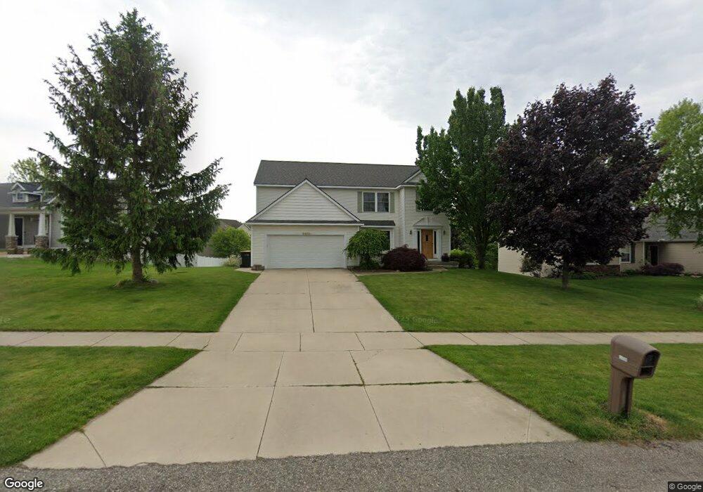
3458 Timothy Dr Hudsonville, MI 49426
Estimated Value: $457,839 - $584,000
4
Beds
3
Baths
2,252
Sq Ft
$223/Sq Ft
Est. Value
About This Home
This home is located at 3458 Timothy Dr, Hudsonville, MI 49426 and is currently estimated at $501,960, approximately $222 per square foot. 3458 Timothy Dr is a home located in Ottawa County with nearby schools including Baldwin Street Middle School, Hudsonville Freshman Campus, and Hudsonville High School.
Ownership History
Date
Name
Owned For
Owner Type
Purchase Details
Closed on
Dec 4, 2014
Sold by
Bower Mark A
Bought by
Bower Nancy J
Current Estimated Value
Purchase Details
Closed on
Dec 18, 2002
Sold by
K & D Venture Lp
Bought by
Brower Mark A and Brower Nancy J
Home Financials for this Owner
Home Financials are based on the most recent Mortgage that was taken out on this home.
Original Mortgage
$159,120
Interest Rate
5.25%
Mortgage Type
Construction
Create a Home Valuation Report for This Property
The Home Valuation Report is an in-depth analysis detailing your home's value as well as a comparison with similar homes in the area
Home Values in the Area
Average Home Value in this Area
Purchase History
| Date | Buyer | Sale Price | Title Company |
|---|---|---|---|
| Bower Nancy J | -- | Hbi Title Services Inc | |
| Brower Mark A | $43,900 | -- |
Source: Public Records
Mortgage History
| Date | Status | Borrower | Loan Amount |
|---|---|---|---|
| Previous Owner | Brower Mark A | $159,120 |
Source: Public Records
Tax History Compared to Growth
Tax History
| Year | Tax Paid | Tax Assessment Tax Assessment Total Assessment is a certain percentage of the fair market value that is determined by local assessors to be the total taxable value of land and additions on the property. | Land | Improvement |
|---|---|---|---|---|
| 2025 | $3,576 | $209,200 | $0 | $0 |
| 2024 | $3,095 | $202,800 | $0 | $0 |
| 2023 | $2,956 | $174,900 | $0 | $0 |
| 2022 | $3,248 | $153,900 | $0 | $0 |
| 2021 | $3,156 | $151,300 | $0 | $0 |
| 2020 | $3,123 | $143,500 | $0 | $0 |
| 2019 | $3,128 | $130,600 | $0 | $0 |
| 2018 | $2,914 | $126,900 | $0 | $0 |
| 2017 | $2,861 | $127,300 | $0 | $0 |
| 2016 | $2,835 | $123,900 | $0 | $0 |
| 2015 | $2,706 | $118,800 | $0 | $0 |
| 2014 | $2,706 | $104,500 | $0 | $0 |
Source: Public Records
Map
Nearby Homes
- 3544 Nobb Hill Dr
- V/L Port Sheldon St
- 3204 Port Sheldon St
- 6701 Arlene Dr
- 3528 Tearose Dr
- 3808 Port Sheldon St
- 2921 N Wentward Ct
- 6760 N Wentward Ct
- 3617 Teton Dr
- 6950 Meadowcreek Dr
- 6722 N Wentward Ct Unit 77
- 7313 Valhalla Dr
- 4101 Blair St
- 4106 Blair St
- 6714 Cedar Grove W
- 6724 28th Ave
- 7381 Rolling Hills Dr
- 2698 Cedargrove N
- 6340 Summer Dr
- 0 Baldwin St
- 3442 Timothy Dr
- 3470 Timothy Dr
- 6763 City Ridge Dr
- 3455 Timothy Dr
- 3441 Timothy Dr
- 3482 Timothy Dr
- 3467 Timothy Dr
- 6770 City Ridge Dr
- 3461 Nobb Hill Dr
- 3479 Timothy Dr
- 6747 City Ridge Dr
- 6812 City Ridge Dr
- 6784 City Ridge Dr
- 6798 City Ridge Dr
- 3498 Timothy Dr
- 6762 Goldenrod Dr
- 6827 City Ridge Dr
- 3493 Timothy Dr
- 3473 Nobb Hill Dr
- 3433 Nobb Hill Dr