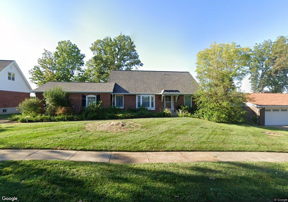
3459 Forest Dale Dr Saint Louis, MO 63125
Mehlville NeighborhoodEstimated Value: $312,321 - $396,000
4
Beds
2
Baths
1,791
Sq Ft
$197/Sq Ft
Est. Value
About This Home
This home is located at 3459 Forest Dale Dr, Saint Louis, MO 63125 and is currently estimated at $353,580, approximately $197 per square foot. 3459 Forest Dale Dr is a home located in St. Louis County with nearby schools including Bierbaum Elementary School, Margaret Buerkle Middle School, and Mehlville High School.
Ownership History
Date
Name
Owned For
Owner Type
Purchase Details
Closed on
Mar 20, 1998
Sold by
Bartnett Roland R and Bartnett Dorothy L
Bought by
Davis David S and Davis Deborah J
Current Estimated Value
Home Financials for this Owner
Home Financials are based on the most recent Mortgage that was taken out on this home.
Original Mortgage
$132,000
Outstanding Balance
$24,361
Interest Rate
7.12%
Estimated Equity
$329,219
Create a Home Valuation Report for This Property
The Home Valuation Report is an in-depth analysis detailing your home's value as well as a comparison with similar homes in the area
Home Values in the Area
Average Home Value in this Area
Purchase History
| Date | Buyer | Sale Price | Title Company |
|---|---|---|---|
| Davis David S | -- | -- |
Source: Public Records
Mortgage History
| Date | Status | Borrower | Loan Amount |
|---|---|---|---|
| Open | Davis David S | $132,000 |
Source: Public Records
Tax History Compared to Growth
Tax History
| Year | Tax Paid | Tax Assessment Tax Assessment Total Assessment is a certain percentage of the fair market value that is determined by local assessors to be the total taxable value of land and additions on the property. | Land | Improvement |
|---|---|---|---|---|
| 2025 | $3,338 | $59,670 | $19,290 | $40,380 |
| 2024 | $3,338 | $49,230 | $9,650 | $39,580 |
| 2023 | $3,295 | $49,230 | $9,650 | $39,580 |
| 2022 | $2,777 | $38,470 | $9,650 | $28,820 |
| 2021 | $2,464 | $38,470 | $9,650 | $28,820 |
| 2020 | $2,416 | $35,870 | $9,650 | $26,220 |
| 2019 | $2,409 | $35,870 | $9,650 | $26,220 |
| 2018 | $2,375 | $31,920 | $6,270 | $25,650 |
| 2017 | $2,371 | $31,920 | $6,270 | $25,650 |
| 2016 | $2,269 | $29,290 | $5,620 | $23,670 |
| 2015 | $2,127 | $29,290 | $5,620 | $23,670 |
| 2014 | $2,099 | $28,610 | $3,720 | $24,890 |
Source: Public Records
Map
Nearby Homes
- 9201 Cedarberry Ct
- 11074 Kohrs Ln
- 4124 Lois Ln
- 10822 Antrill Dr
- 3808 Southern Manor Dr
- 4110 Lois Ln
- 9511 Alix Dr
- 3656 Colonia Place Dr Unit C
- 2 Burlington at Grove at Grant’s Trail Meadows
- 3724 Southern Manor Dr
- 2 Meadows
- 2 Belmont at Grove at Grant’s Trail Meadows
- 2 Meadows
- 2 Arlington at Grove at Grant’s Trail Meadows
- 3301 Avenue H
- 2 Aspen at Grove at Grant's Trail Manors
- 10916 Arctic Dr
- 2 Aspen II at Grove at Grant’s Trail Manors
- 4146 Crescent Dr
- 2 Manors
- 3451 Forest Dale Dr
- 3467 Forest Dale Dr
- 3443 Forest Dale Dr
- 3464 Forest Dale Dr
- 3475 Forest Dale Dr
- 3456 Forest Dale Dr
- 3448 Forest Dale Dr
- 3476 Forest Dale Dr
- 3435 Forest Dale Dr
- 3483 Forest Dale Dr
- 3423 Lone Elm Dr
- 3431 Lone Elm Dr
- 3500 Wintergreen Ln
- 3415 Lone Elm Dr
- 3437 Lone Elm Dr
- 3501 Forest Dale Dr
- 3400 Forest Dale Dr
- 3502 Wintergreen Ln
- 3427 Forest Dale Dr
- 3505 Forest Dale Dr