Estimated Value: $586,000 - $628,000
3
Beds
3
Baths
2,359
Sq Ft
$254/Sq Ft
Est. Value
About This Home
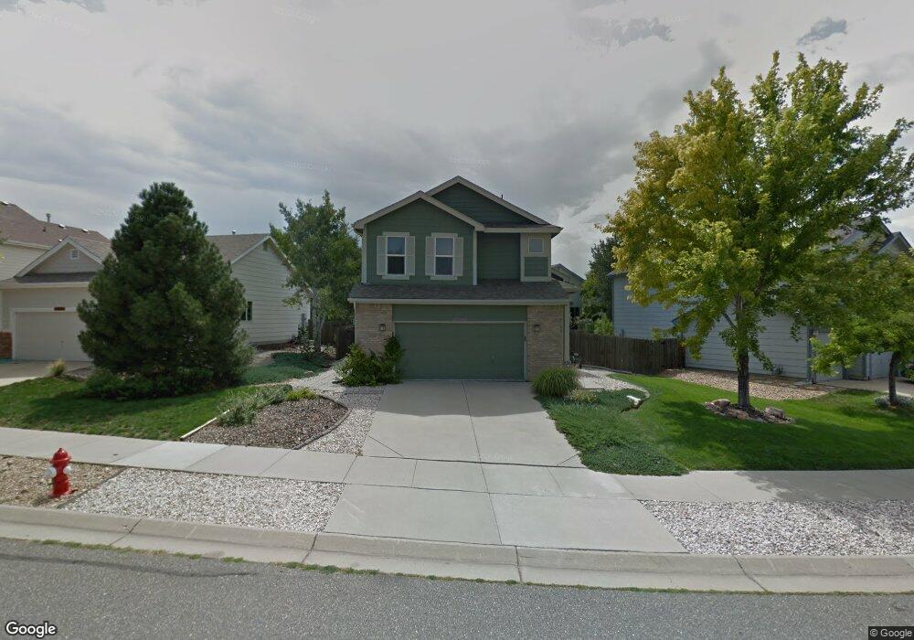
This home is located at 346 Conrad Dr, Erie, CO 80516 and is currently estimated at $599,113, approximately $253 per square foot. 346 Conrad Dr is a home located in Boulder County with nearby schools including Red Hawk Elementary School, Erie Middle School, and Erie High School.
Ownership History
Date
Name
Owned For
Owner Type
Purchase Details
Closed on
Apr 26, 2016
Sold by
Roberts Vicki S
Bought by
Strunk Stanjey E
Current Estimated Value
Home Financials for this Owner
Home Financials are based on the most recent Mortgage that was taken out on this home.
Original Mortgage
$338,200
Outstanding Balance
$269,843
Interest Rate
3.73%
Mortgage Type
New Conventional
Estimated Equity
$329,270
Purchase Details
Closed on
Dec 4, 2008
Sold by
Roberts Robert Glenn and Roberts Vicki S
Bought by
Roberts Vicki S
Home Financials for this Owner
Home Financials are based on the most recent Mortgage that was taken out on this home.
Original Mortgage
$205,000
Interest Rate
6.48%
Mortgage Type
New Conventional
Purchase Details
Closed on
Apr 23, 1999
Sold by
U S Home Corp
Bought by
Roberts Roger Glenn
Home Financials for this Owner
Home Financials are based on the most recent Mortgage that was taken out on this home.
Original Mortgage
$175,050
Interest Rate
7.04%
Create a Home Valuation Report for This Property
The Home Valuation Report is an in-depth analysis detailing your home's value as well as a comparison with similar homes in the area
Home Values in the Area
Average Home Value in this Area
Purchase History
| Date | Buyer | Sale Price | Title Company |
|---|---|---|---|
| Strunk Stanjey E | $356,000 | Chicago Title | |
| Roberts Vicki S | -- | Fahtco | |
| Roberts Roger Glenn | $184,285 | Stewart Title |
Source: Public Records
Mortgage History
| Date | Status | Borrower | Loan Amount |
|---|---|---|---|
| Open | Strunk Stanjey E | $338,200 | |
| Previous Owner | Roberts Vicki S | $205,000 | |
| Previous Owner | Roberts Roger Glenn | $175,050 |
Source: Public Records
Tax History Compared to Growth
Tax History
| Year | Tax Paid | Tax Assessment Tax Assessment Total Assessment is a certain percentage of the fair market value that is determined by local assessors to be the total taxable value of land and additions on the property. | Land | Improvement |
|---|---|---|---|---|
| 2025 | $3,855 | $34,181 | $10,050 | $24,131 |
| 2024 | $3,855 | $34,181 | $10,050 | $24,131 |
| 2023 | $3,812 | $33,661 | $13,407 | $23,939 |
| 2022 | $3,227 | $27,265 | $8,472 | $18,793 |
| 2021 | $3,284 | $28,050 | $8,716 | $19,334 |
| 2020 | $3,168 | $27,120 | $4,290 | $22,830 |
| 2019 | $3,160 | $27,120 | $4,290 | $22,830 |
| 2018 | $2,731 | $23,393 | $6,696 | $16,697 |
| 2017 | $2,607 | $25,862 | $7,403 | $18,459 |
| 2016 | $2,507 | $21,962 | $7,403 | $14,559 |
| 2015 | $2,406 | $18,045 | $5,492 | $12,553 |
| 2014 | $2,021 | $18,045 | $5,492 | $12,553 |
Source: Public Records
Map
Nearby Homes
- 1416 Stockton Dr
- 993 Stanley Ct
- 1517 Stanley Dr
- 1270 Hoffman Dr
- 111 Stewart Way
- 1600 Bain Dr
- 159 Summerfield Ct
- 60 Stewart Way
- 1386 Avgare Way
- 41 Jordan Ln
- 644 N Beshear Ct
- 612 Apex St
- 20 Stewart Way
- 1665 Bain Dr
- 634 Apex St
- 707 Saddle Dr
- 701 Saddle Dr
- 1673 Bain Dr
- Newland Plan at Toll Brothers at Erie Town Center - Horizon at Erie Town Center
- Ulster Plan at Toll Brothers at Erie Town Center - Heights at Erie Town Center