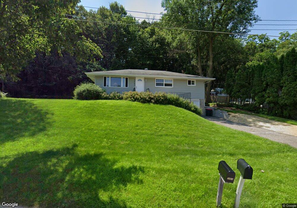
3463 Forrest Ln Red Wing, MN 55066
Estimated Value: $251,000 - $312,000
About This Home
This home is located at 3463 Forrest Ln, Red Wing, MN 55066 and is currently estimated at $275,889, approximately $155 per square foot. 3463 Forrest Ln is a home located in Goodhue County with nearby schools including Burnside Elementary School, Sunnyside Elementary School, and Twin Bluff Middle School.
Ownership History
We collect this data history from publicly available records. To have your information removed, we recommend requesting removal directly through your county’s website.
Purchase Details
Purchase Details
Home Values in the Area
Average Home Value in this Area
Purchase History
We collect this data history from publicly available records. To have your information removed, we recommend requesting removal directly through your county’s website.
| Date | Buyer | Sale Price | Title Company |
|---|---|---|---|
| $195,000 | -- | ||
| -- | -- | ||
| $157,400 | -- |
Tax History
We collect this data history from publicly available records. To have your information removed, we recommend requesting removal directly through your county’s website.
| Year | Tax Paid | Tax Assessment Tax Assessment Total Assessment is a certain percentage of the fair market value that is determined by local assessors to be the total taxable value of land and additions on the property. | Land | Improvement |
|---|---|---|---|---|
| 2025 | $2,970 | $243,100 | $68,100 | $175,000 |
| 2024 | $2,952 | $239,600 | $68,100 | $171,500 |
| 2023 | $2,988 | $227,800 | $68,000 | $159,800 |
| 2022 | $2,592 | $219,100 | $60,500 | $158,600 |
| 2021 | $2,428 | $190,300 | $60,500 | $129,800 |
| 2020 | $2,066 | $181,900 | $60,500 | $121,400 |
| 2019 | $2,356 | $150,000 | $60,500 | $89,500 |
| 2018 | $2,290 | $150,600 | $58,300 | $92,300 |
| 2017 | $1,640 | $135,900 | $58,300 | $77,600 |
| 2016 | $1,512 | $134,700 | $58,300 | $76,400 |
| 2015 | $1,464 | $131,100 | $58,300 | $72,800 |
| 2014 | -- | $128,200 | $58,300 | $69,900 |
Map
- 210 Sargent Dr Unit 101
- 210 Sargent Dr Unit 103
- 3447 Briarwood Ct
- 661 Spring Creek Rd S
- 237 Butternut Ave
- 110 Red Wing Ave S
- 2820 N Service Dr
- 1140 Hewitt Blvd
- 1125 Hewitt Blvd
- 125 Kingswood Dr Unit 1D
- 912 Aurora Cir
- 145 Kingswood Dr
- 1181 Hewitt Blvd
- 2753 Ridgeview Ln
- 2707 Ridgeview Dr
- 1079 Birch Ave
- 513 Old Bench St
- 921 Snowbird Dr
- 910 Snowbird Dr
- 914 Snowbird Dr
- 3648 Martha Ln
- 3656 Martha Ln
- 3628 Martha Ln
- 3473 Forrest Ln
- 3453 Forrest Ln
- 3618 Martha Ln
- 3443 Forrest Ln
- 213 Spring Creek Rd S
- 3664 Martha Ln
- 3610 Martha Ln
- 3645 Martha Ln
- 3655 Martha Ln
- 3473 Helen Ln
- 3635 Martha Ln
- 3448 Forrest Ln
- 149 Spring Creek Rd S
- 3440 Forrest Ln
- 3625 Martha Ln
- 3463 Helen Ln
- 3430 Forrest Ln
Ask me questions while you tour the home.