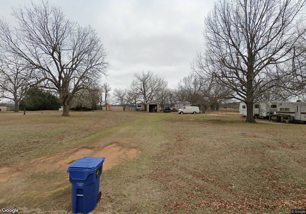
346521 E 920 Rd Chandler, OK 74834
Estimated Value: $91,000 - $189,000
1
Bed
1
Bath
640
Sq Ft
$227/Sq Ft
Est. Value
About This Home
This home is located at 346521 E 920 Rd, Chandler, OK 74834 and is currently estimated at $145,401, approximately $227 per square foot. 346521 E 920 Rd is a home with nearby schools including Davenport Elementary School and Davenport High School.
Ownership History
Date
Name
Owned For
Owner Type
Purchase Details
Closed on
Jul 23, 2001
Sold by
Leake C V
Bought by
Parsons Roger Bryan
Current Estimated Value
Purchase Details
Closed on
Dec 28, 2000
Sold by
Dist Ct Lin Co/Mcormick
Bought by
Mcormick Esther J
Purchase Details
Closed on
Sep 23, 1999
Sold by
Mcormick Esther J
Bought by
Leake C
Purchase Details
Closed on
Mar 4, 1988
Sold by
Thomas Ruthann
Bought by
Mcormick Mcormick M and Mcormick Esther
Create a Home Valuation Report for This Property
The Home Valuation Report is an in-depth analysis detailing your home's value as well as a comparison with similar homes in the area
Home Values in the Area
Average Home Value in this Area
Purchase History
| Date | Buyer | Sale Price | Title Company |
|---|---|---|---|
| Parsons Roger Bryan | $7,500 | -- | |
| Mcormick Esther J | -- | -- | |
| Leake C | $3,500 | -- | |
| Mcormick Mcormick M | $2,000 | -- |
Source: Public Records
Tax History
| Year | Tax Paid | Tax Assessment Tax Assessment Total Assessment is a certain percentage of the fair market value that is determined by local assessors to be the total taxable value of land and additions on the property. | Land | Improvement |
|---|---|---|---|---|
| 2025 | $385 | $4,083 | $858 | $3,225 |
| 2024 | $278 | $3,964 | $802 | $3,162 |
| 2023 | $278 | $4,515 | $2,002 | $2,513 |
| 2022 | $267 | $3,738 | $1,399 | $2,339 |
| 2021 | $165 | $1,787 | $1,332 | $455 |
| 2020 | $156 | $1,702 | $1,202 | $500 |
| 2019 | $153 | $1,621 | $1,145 | $476 |
| 2018 | $142 | $1,545 | $1,091 | $454 |
| 2017 | $139 | $1,471 | $829 | $642 |
| 2016 | $80 | $833 | $789 | $44 |
| 2015 | $69 | $794 | $745 | $49 |
| 2014 | $69 | $756 | $721 | $35 |
Source: Public Records
Map
Nearby Homes
- 346190 E 920 Rd
- 920046 S 3460 Rd
- 920110 S 3470 Rd
- 910704 S 3460 Rd
- 347131 E 920 Rd
- 920568 S 3460 Rd
- 920674 S 3460 Rd
- 345961 E Melanie Ln
- 345697 E 920 Rd
- 345958 E Melanie Ln
- 345874 E Melanie Ln
- 920790 S 3460 Rd
- 345746 E Melanie Ln
- 345967 E Forrest Dr
- 345945 Forrest Dr
- 345945 E Forrest Dr
- 346482 E 930 Rd
- 345954 E Forrest Dr
- 345785 E Melanie Ln
- 345895 E Forrest Dr
Your Personal Tour Guide
Ask me questions while you tour the home.