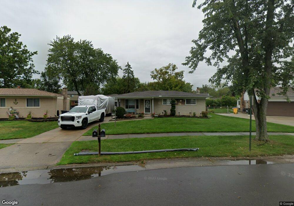
34669 Devonshire Rd New Baltimore, MI 48047
Estimated Value: $260,858 - $283,000
3
Beds
1
Bath
1,164
Sq Ft
$234/Sq Ft
Est. Value
About This Home
This home is located at 34669 Devonshire Rd, New Baltimore, MI 48047 and is currently estimated at $272,465, approximately $234 per square foot. 34669 Devonshire Rd is a home located in Macomb County with nearby schools including Ashley Elementary School, Anchor Bay Middle School North, and Anchor Bay High School.
Ownership History
Date
Name
Owned For
Owner Type
Purchase Details
Closed on
Feb 3, 2010
Sold by
Mortgage Electronic Registration Systems
Bought by
Gmac Mortgage Llc
Current Estimated Value
Purchase Details
Closed on
Dec 11, 2009
Sold by
Kania Darren A
Bought by
Mortgage Electronic Registration Systems
Purchase Details
Closed on
Oct 28, 2004
Sold by
Leader Investment Co
Bought by
Kania Darren A
Purchase Details
Closed on
Sep 4, 2003
Sold by
Winans Mark and Winans Ida
Bought by
Leader Investment Co
Create a Home Valuation Report for This Property
The Home Valuation Report is an in-depth analysis detailing your home's value as well as a comparison with similar homes in the area
Home Values in the Area
Average Home Value in this Area
Purchase History
| Date | Buyer | Sale Price | Title Company |
|---|---|---|---|
| Gmac Mortgage Llc | -- | None Available | |
| Mortgage Electronic Registration Systems | $126,000 | None Available | |
| Kania Darren A | $165,000 | Greco | |
| Leader Investment Co | $124,000 | Chicago Title Insurance Co |
Source: Public Records
Tax History Compared to Growth
Tax History
| Year | Tax Paid | Tax Assessment Tax Assessment Total Assessment is a certain percentage of the fair market value that is determined by local assessors to be the total taxable value of land and additions on the property. | Land | Improvement |
|---|---|---|---|---|
| 2025 | $2,756 | $103,500 | $0 | $0 |
| 2024 | $2,302 | $100,100 | $0 | $0 |
| 2023 | $2,479 | $89,100 | $0 | $0 |
| 2022 | $2,495 | $83,000 | $0 | $0 |
| 2021 | $2,402 | $80,100 | $0 | $0 |
| 2020 | $2,024 | $74,400 | $0 | $0 |
| 2019 | $2,288 | $70,700 | $0 | $0 |
| 2018 | $2,243 | $68,400 | $0 | $0 |
| 2017 | $2,238 | $63,800 | $21,900 | $41,900 |
| 2016 | $2,221 | $63,800 | $0 | $0 |
| 2015 | -- | $59,700 | $0 | $0 |
| 2014 | -- | $52,400 | $0 | $0 |
Source: Public Records
Map
Nearby Homes
- 54253 Bradshaw Dr
- 53302 Zachary Dr
- 54822 Heron Cir
- 54820 Mockingbird Dr
- 54790 Heron Cir
- 54759 Heron Cir
- 54375 Heron Cir
- Sawyer Plan at Creekside Park
- Peyton Plan at Creekside Park
- Aubrey Plan at Creekside Park
- Brooklyn Plan at Creekside Park
- Juliet Plan at Creekside Park
- 54695 Heron Cir
- 34433 Sandpiper Ct
- 35614 Hermitage Ct
- - Baker Rd
- 55060 Baker Rd
- 54620 Washington St
- 54597 Mockingbird
- 54791 Heron Cir
- 34683 Devonshire Rd
- 34655 Devonshire Rd
- 34666 Channing Way
- 34652 Channing Way
- 34639 Devonshire Rd
- 34697 Devonshire Rd
- 34724 Channing Way
- 34638 Channing Way
- 34738 Channing Way
- 34662 Devonshire Rd
- 34686 Channing Way
- 34690 Devonshire Rd
- 34648 Devonshire Rd
- 34752 Channing Way
- 34711 Devonshire Rd
- 34623 Devonshire Rd
- 34624 Channing Way
- 34710 Devonshire Rd
- 34634 Devonshire Rd
- 34766 Channing Way