3467 Hubbard Rd Charlotte, MI 48813
Estimated Value: $284,000 - $323,000
3
Beds
1
Bath
1,798
Sq Ft
$169/Sq Ft
Est. Value
About This Home
This home is located at 3467 Hubbard Rd, Charlotte, MI 48813 and is currently estimated at $303,100, approximately $168 per square foot. 3467 Hubbard Rd is a home located in Eaton County with nearby schools including Washington Elementary School, Charlotte Middle School, and Charlotte Upper Elementary School.
Ownership History
Date
Name
Owned For
Owner Type
Purchase Details
Closed on
Oct 25, 2019
Sold by
Parker Gloria M
Bought by
Kelley Sean
Current Estimated Value
Home Financials for this Owner
Home Financials are based on the most recent Mortgage that was taken out on this home.
Original Mortgage
$157,102
Outstanding Balance
$140,308
Interest Rate
4.5%
Mortgage Type
FHA
Estimated Equity
$162,792
Create a Home Valuation Report for This Property
The Home Valuation Report is an in-depth analysis detailing your home's value as well as a comparison with similar homes in the area
Home Values in the Area
Average Home Value in this Area
Purchase History
| Date | Buyer | Sale Price | Title Company |
|---|---|---|---|
| Kelley Sean | $160,000 | Ata National Title Group Llc |
Source: Public Records
Mortgage History
| Date | Status | Borrower | Loan Amount |
|---|---|---|---|
| Open | Kelley Sean | $157,102 |
Source: Public Records
Tax History Compared to Growth
Tax History
| Year | Tax Paid | Tax Assessment Tax Assessment Total Assessment is a certain percentage of the fair market value that is determined by local assessors to be the total taxable value of land and additions on the property. | Land | Improvement |
|---|---|---|---|---|
| 2025 | $3,070 | $135,900 | $0 | $0 |
| 2024 | $1,170 | $129,900 | $0 | $0 |
| 2023 | $1,114 | $113,500 | $0 | $0 |
| 2022 | $2,700 | $99,600 | $0 | $0 |
| 2021 | $2,020 | $92,400 | $0 | $0 |
| 2020 | $2,020 | $72,700 | $0 | $0 |
| 2019 | $1,748 | $68,730 | $0 | $0 |
| 2018 | $0 | $67,374 | $0 | $0 |
| 2017 | -- | $64,188 | $0 | $0 |
| 2016 | -- | $62,154 | $0 | $0 |
| 2015 | -- | $65,403 | $0 | $0 |
| 2014 | -- | $58,231 | $0 | $0 |
| 2013 | -- | $67,952 | $0 | $0 |
Source: Public Records
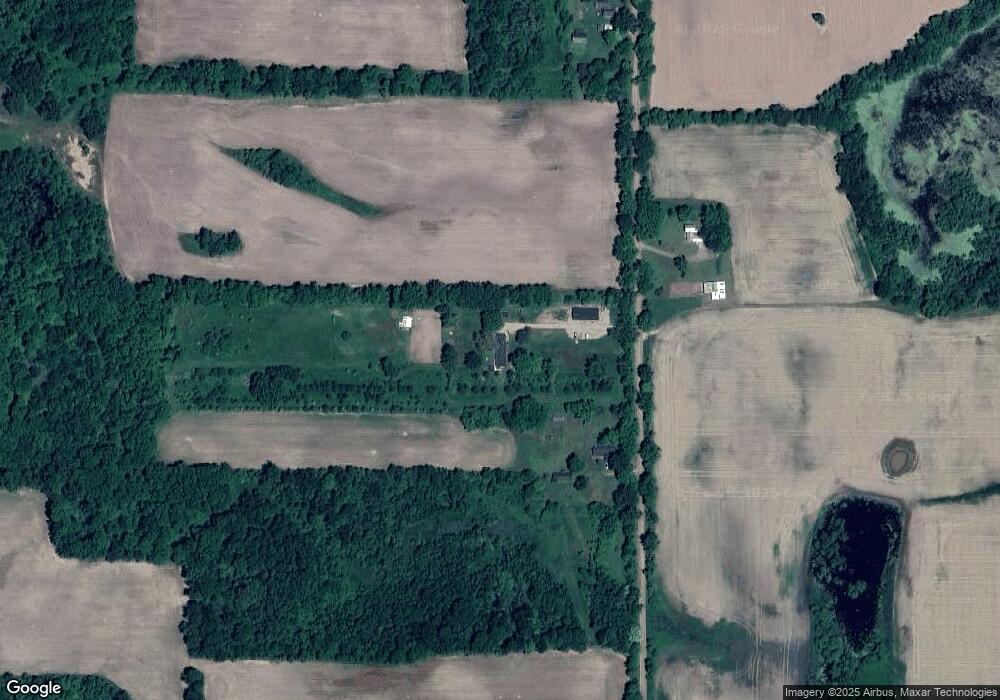
Map
Nearby Homes
- V/l W Vermontville Hwy
- 2402 N Stine Rd
- Vl W Kinsel Hwy
- 0 E Kinsel Hwy Unit 20251030636
- 525 N Wheaton Rd
- 138 Canterbury Dr
- 220 N Chester Rd
- 922 High St
- 1272 W Lawrence Hwy
- 717 High St
- 938 N Cochran Ave
- 717 Katies Way
- 1099 Fairview Hwy
- 4716 Margaret Dr
- 1176 Maple Leaf Ct
- 884 Ottawa Ct Unit 7
- 428 N Washington St
- 0 Packard Hwy
- 318 N Cochran Ave
- 206 W Harris St
- 3419 Hubbard Rd
- 3661 Hubbard Rd
- 3695 Hubbard Rd
- 3797 Hubbard Rd
- 2283 W Vermontville Hwy
- 2990 Hubbard Rd
- 2601 W Vermontville Hwy
- 2551 W Vermontville Hwy
- 2615 W Vermontville Hwy
- 2549 W Vermontville Hwy
- 2781 Lamie Hwy
- 2452 W Vermontville Hwy
- 2875 Lamie Hwy
- 2346 W Vermontville Hwy
- 2700 W Vermontville Hwy
- 3050 Lamie Hwy
- 2910 Hubbard Rd
- 3860 Mulliken Rd
- 2189 W Vermontville Hwy
- 3778 Mulliken Rd