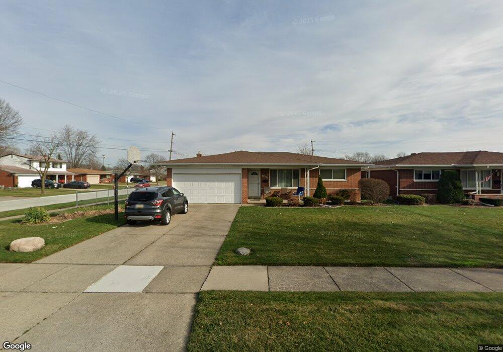
34684 Macdonald Dr Sterling Heights, MI 48310
Estimated Value: $264,572 - $335,000
--
Bed
1
Bath
1,492
Sq Ft
$204/Sq Ft
Est. Value
About This Home
This home is located at 34684 Macdonald Dr, Sterling Heights, MI 48310 and is currently estimated at $304,643, approximately $204 per square foot. 34684 Macdonald Dr is a home located in Macomb County with nearby schools including Angus Elementary School, Grissom Middle School, and Warren Mott High School.
Ownership History
Date
Name
Owned For
Owner Type
Purchase Details
Closed on
Jun 7, 2021
Sold by
Butkowski Robert and Butkowski Tania J
Bought by
Butkowski Robert F and Butkowski Tania J
Current Estimated Value
Create a Home Valuation Report for This Property
The Home Valuation Report is an in-depth analysis detailing your home's value as well as a comparison with similar homes in the area
Home Values in the Area
Average Home Value in this Area
Purchase History
| Date | Buyer | Sale Price | Title Company |
|---|---|---|---|
| Butkowski Robert F | -- | None Available |
Source: Public Records
Tax History Compared to Growth
Tax History
| Year | Tax Paid | Tax Assessment Tax Assessment Total Assessment is a certain percentage of the fair market value that is determined by local assessors to be the total taxable value of land and additions on the property. | Land | Improvement |
|---|---|---|---|---|
| 2025 | $3,251 | $139,600 | $0 | $0 |
| 2024 | $3,136 | $129,600 | $0 | $0 |
| 2023 | $2,976 | $118,700 | $0 | $0 |
| 2022 | $2,886 | $112,100 | $0 | $0 |
| 2021 | $2,983 | $104,600 | $0 | $0 |
| 2020 | $2,836 | $97,600 | $0 | $0 |
| 2019 | $2,662 | $90,100 | $0 | $0 |
| 2018 | $2,819 | $78,100 | $0 | $0 |
| 2017 | $2,720 | $76,300 | $17,100 | $59,200 |
| 2016 | $2,662 | $76,300 | $0 | $0 |
| 2015 | -- | $73,000 | $0 | $0 |
| 2014 | -- | $60,100 | $0 | $0 |
Source: Public Records
Map
Nearby Homes
- 3538 Cero Dr
- 4468 15 Mile Rd Unit F104
- 3040 Alden Dr
- 35078 Cavant Dr
- 2630 Pall Mall Dr
- 2528 Koper Dr
- 2600 Pall Mall Dr
- 33735 Kennedy Dr
- 33569 Breckenridge Dr
- 2269 Serra Dr
- 35272 Vito Dr
- 4215 Nickolas Dr
- 2268 Serra Dr
- 3528 Byrd Dr
- 4874 Venetian Dr
- 4655 Ashburton Place
- 35259 Hatherly Place
- 33731 Newport Dr
- 3131 Elmcrest Rd
- 2448 Oakcrest Rd
- 34672 Macdonald Dr
- 34687 Richard O Dr
- 34660 Macdonald Dr
- 34675 Richard O Dr
- 3475 Rhoten Dr
- 3463 Rhoten Dr
- 3509 Rhoten Dr
- 34663 Richard O Dr
- 3451 Rhoten Dr
- 34648 Macdonald Dr
- 34667 Macdonald Dr
- 3521 Rhoten Dr
- 3439 Rhoten Dr
- 34655 Macdonald Dr
- 34651 Richard O Dr
- 34636 Macdonald Dr
- 3533 Rhoten Dr
- 34643 Macdonald Dr
- 3427 Rhoten Dr
- 34639 Richard O Dr