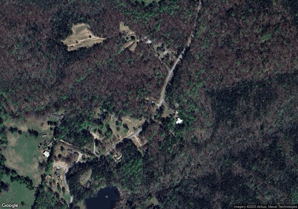
347 Andrews Rd Baldwin, GA 30511
Estimated Value: $305,000 - $383,000
3
Beds
2
Baths
1,700
Sq Ft
$193/Sq Ft
Est. Value
About This Home
This home is located at 347 Andrews Rd, Baldwin, GA 30511 and is currently estimated at $327,889, approximately $192 per square foot. 347 Andrews Rd is a home located in Banks County with nearby schools including Banks County Primary School, Banks County Elementary School, and Banks County Middle School.
Ownership History
Date
Name
Owned For
Owner Type
Purchase Details
Closed on
Oct 24, 2018
Sold by
Bennett Jeremy S
Bought by
Kaniewski Cortney M
Current Estimated Value
Home Financials for this Owner
Home Financials are based on the most recent Mortgage that was taken out on this home.
Original Mortgage
$166,429
Outstanding Balance
$144,745
Interest Rate
4.87%
Mortgage Type
FHA
Estimated Equity
$183,144
Purchase Details
Closed on
Feb 17, 2012
Sold by
Byrd Jeffrey
Bought by
Bennett Jeremy S
Create a Home Valuation Report for This Property
The Home Valuation Report is an in-depth analysis detailing your home's value as well as a comparison with similar homes in the area
Home Values in the Area
Average Home Value in this Area
Purchase History
| Date | Buyer | Sale Price | Title Company |
|---|---|---|---|
| Kaniewski Cortney M | $169,500 | -- | |
| Bennett Jeremy S | $110,000 | -- |
Source: Public Records
Mortgage History
| Date | Status | Borrower | Loan Amount |
|---|---|---|---|
| Open | Kaniewski Cortney M | $166,429 |
Source: Public Records
Tax History Compared to Growth
Tax History
| Year | Tax Paid | Tax Assessment Tax Assessment Total Assessment is a certain percentage of the fair market value that is determined by local assessors to be the total taxable value of land and additions on the property. | Land | Improvement |
|---|---|---|---|---|
| 2025 | $2,061 | $107,966 | $6,386 | $101,580 |
| 2024 | $2,061 | $102,480 | $5,805 | $96,675 |
| 2023 | $2,019 | $90,438 | $5,412 | $85,026 |
| 2022 | $1,649 | $78,458 | $5,412 | $73,046 |
| 2021 | $1,459 | $65,306 | $3,608 | $61,698 |
| 2020 | $1,409 | $61,454 | $3,032 | $58,422 |
| 2019 | $1,416 | $61,454 | $3,032 | $58,422 |
| 2018 | $1,037 | $44,260 | $2,332 | $41,928 |
| 2017 | $1,082 | $44,298 | $2,028 | $42,270 |
| 2016 | $1,113 | $44,298 | $2,028 | $42,270 |
| 2015 | $1,121 | $44,297 | $2,028 | $42,270 |
| 2014 | $1,121 | $47,526 | $5,256 | $42,270 |
| 2013 | -- | $47,525 | $5,256 | $42,269 |
Source: Public Records
Map
Nearby Homes
- 0 Smokerise Unit 10602885
- 0 Planters Creek Unit LOT 34 10482364
- 535 Otis Brown Rd
- 380 Nancy Town Rd
- 432 Nancy Town Rd
- 0 Soapstone Rd Unit 7646343
- 0 Soapstone Rd Unit 10600294
- 0 Old Mize Rd Unit 25210224
- 0 Old Mize Rd Unit 10625333
- 382 Simmons Rd
- 530 Grandview Ave
- 203 Russell Woods Dr
- 0 Whippoorwill Terrace Unit 10552744
- 0 Whippoorwill Terrace Unit 7605702
- 266 Short Ave
- 292 Chenocetah Dr
- 227 Short Ave
- 340 Daily Rd
- 296 Grand Ave
- 272 Crepe Myrtle St
- 0 Andrews Rd Unit 3075423
- 348 Andrews Rd
- 405 Andrews Rd
- 154 Friendship Ln
- 260 Andrews Rd
- 487 Andrews Rd
- 149 Andrews Rd
- 2061 Highway 105
- 104 Andrews Ln
- 303 Andrews Ln
- 1917 Georgia 105
- 1847 Highway 105
- 1917 Highway 105
- 116 Andrews Rd
- 2165 Highway 105
- 1788 Highway 105
- 1944 Highway 105
- 1719 Highway 105
- 0 Ga Hwy 105 Unit 7196126
- 188 Crump Rd
