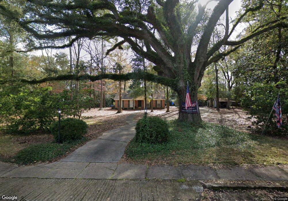
347 Broad Ave Newton, GA 39870
Estimated Value: $194,000 - $224,056
--
Bed
--
Bath
1,815
Sq Ft
$114/Sq Ft
Est. Value
About This Home
This home is located at 347 Broad Ave, Newton, GA 39870 and is currently estimated at $206,019, approximately $113 per square foot. 347 Broad Ave is a home with nearby schools including Baker County School.
Ownership History
Date
Name
Owned For
Owner Type
Purchase Details
Closed on
Apr 30, 2019
Sold by
Ledman Julie A
Bought by
Daughtry Michael Shane
Current Estimated Value
Purchase Details
Closed on
May 18, 2015
Sold by
Bush Ann Odom
Bought by
Ledman Julie A
Create a Home Valuation Report for This Property
The Home Valuation Report is an in-depth analysis detailing your home's value as well as a comparison with similar homes in the area
Home Values in the Area
Average Home Value in this Area
Purchase History
| Date | Buyer | Sale Price | Title Company |
|---|---|---|---|
| Daughtry Michael Shane | $113,500 | -- | |
| Ledman Julie A | -- | -- |
Source: Public Records
Tax History Compared to Growth
Tax History
| Year | Tax Paid | Tax Assessment Tax Assessment Total Assessment is a certain percentage of the fair market value that is determined by local assessors to be the total taxable value of land and additions on the property. | Land | Improvement |
|---|---|---|---|---|
| 2024 | $1,633 | $54,578 | $4,608 | $49,970 |
| 2023 | $1,698 | $54,578 | $4,608 | $49,970 |
| 2022 | $1,257 | $46,802 | $4,608 | $42,194 |
| 2021 | $1,257 | $46,802 | $4,608 | $42,194 |
| 2020 | $1,221 | $46,802 | $4,608 | $42,194 |
| 2019 | $1,258 | $46,802 | $4,608 | $42,194 |
| 2018 | $1,429 | $46,802 | $4,608 | $42,194 |
| 2017 | $1,429 | $46,802 | $4,608 | $42,194 |
| 2016 | $1,211 | $46,802 | $4,608 | $42,194 |
| 2015 | $1,524 | $49,919 | $4,593 | $45,326 |
| 2011 | -- | $42,853 | $4,593 | $38,260 |
Source: Public Records
Map
Nearby Homes
- 371 W Broad Ave
- 331 W Broad Ave
- 311 W Broad Ave
- 361 W Broad Ave
- 0 W Broad Ave Unit 103626
- 376 W Broad Ave
- 342 W Broad Ave
- 451 W Broad Ave
- 334 Sunset Ave SW
- 370 Sunset Ave SW
- 347 Joan Ave NW
- 294 W Broad Ave
- 121 Hillcrest Dr NW
- 123 Church St SW
- 00 Georgia 91
- TBD Georgia 91
- 335 Joan Ave NW
- 205 Sunset Ave
- 0 Ga 91 Unit 8035512
- 123 Hillcrest Dr SW