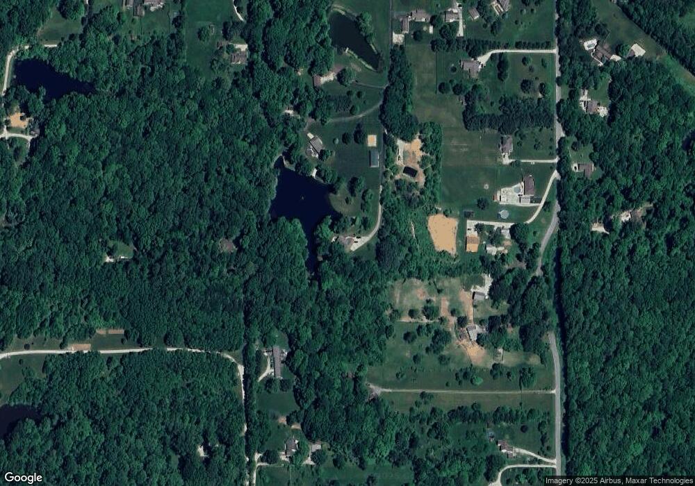
347 E Bunkerhill Rd Mooresville, IN 46158
Estimated Value: $212,000 - $287,000
3
Beds
3
Baths
2,035
Sq Ft
$119/Sq Ft
Est. Value
About This Home
This home is located at 347 E Bunkerhill Rd, Mooresville, IN 46158 and is currently estimated at $242,333, approximately $119 per square foot. 347 E Bunkerhill Rd is a home located in Morgan County with nearby schools including Monrovia Elementary School, Monrovia Middle School, and Monrovia High School.
Ownership History
Date
Name
Owned For
Owner Type
Purchase Details
Closed on
Oct 31, 2019
Sold by
Scott Jerry W and Scott Ann E
Bought by
Brenner Michael J and Troll Laura J Downton
Current Estimated Value
Home Financials for this Owner
Home Financials are based on the most recent Mortgage that was taken out on this home.
Original Mortgage
$235,000
Outstanding Balance
$207,150
Interest Rate
3.7%
Mortgage Type
New Conventional
Estimated Equity
$35,183
Create a Home Valuation Report for This Property
The Home Valuation Report is an in-depth analysis detailing your home's value as well as a comparison with similar homes in the area
Home Values in the Area
Average Home Value in this Area
Purchase History
| Date | Buyer | Sale Price | Title Company |
|---|---|---|---|
| Brenner Michael J | -- | Chicago Title Company Llc |
Source: Public Records
Mortgage History
| Date | Status | Borrower | Loan Amount |
|---|---|---|---|
| Open | Brenner Michael J | $235,000 |
Source: Public Records
Tax History Compared to Growth
Tax History
| Year | Tax Paid | Tax Assessment Tax Assessment Total Assessment is a certain percentage of the fair market value that is determined by local assessors to be the total taxable value of land and additions on the property. | Land | Improvement |
|---|---|---|---|---|
| 2024 | $387 | $31,000 | $31,000 | $0 |
| 2023 | $375 | $31,000 | $31,000 | $0 |
| 2022 | $375 | $31,000 | $31,000 | $0 |
| 2021 | $359 | $31,000 | $31,000 | $0 |
| 2020 | $337 | $30,700 | $30,700 | $0 |
| 2019 | $2,389 | $366,700 | $70,000 | $296,700 |
| 2018 | $2,146 | $336,900 | $70,000 | $266,900 |
| 2017 | $2,146 | $334,800 | $70,000 | $264,800 |
| 2016 | $2,096 | $321,200 | $70,000 | $251,200 |
| 2014 | $1,715 | $308,600 | $66,400 | $242,200 |
| 2013 | $1,715 | $311,400 | $66,400 | $245,000 |
Source: Public Records
Map
Nearby Homes
- 86 W Bunkerhill Rd
- 39 Lake Hart
- 2 Lake Hart
- 245 Lake Hart
- 9221 N Stanley Dr
- 8548 N Observatory Ln
- 0 N Gasburg Rd Unit MBR22066310
- 8190 Beech Grove Rd
- 326 W State Road 42
- 146 Lewis Dr
- 11698 N Bethesda Rd
- 207 Center Dr
- 6150 Red Day Rd
- 126-128 Allen Dr
- 192 Cohen Dr
- 50 Kings Ct
- 759 W Keller Hill Rd
- 326 Mcclure Blvd
- 12087 N Cedarwood Dr
- 37 Knox Ct
- 9268 N Fairway Ln
- 9244 N Romine Rd
- 9351 N Fairway Ln
- 355 E Bunkerhill Rd
- 282 E Gold Creek Rd
- 9274 N Romine Rd
- 9152 N Romine Rd
- 9140 N Gold Rush Dr
- 1367 N Gold Rush Dr
- 9270 N Romine Rd
- 9314 N Romine Rd
- 9182 N Romine Rd
- 9306 N Romine Rd
- 9092 N Gold Rush Dr
- 191 E Bunkerhill Rd
- 365 E Bunkerhill Rd
- 9347 N Hummel Dr
- 9408 N Romine Rd
- 383 E Bunkerhill Rd
- 393 Bunker Hill Rd
