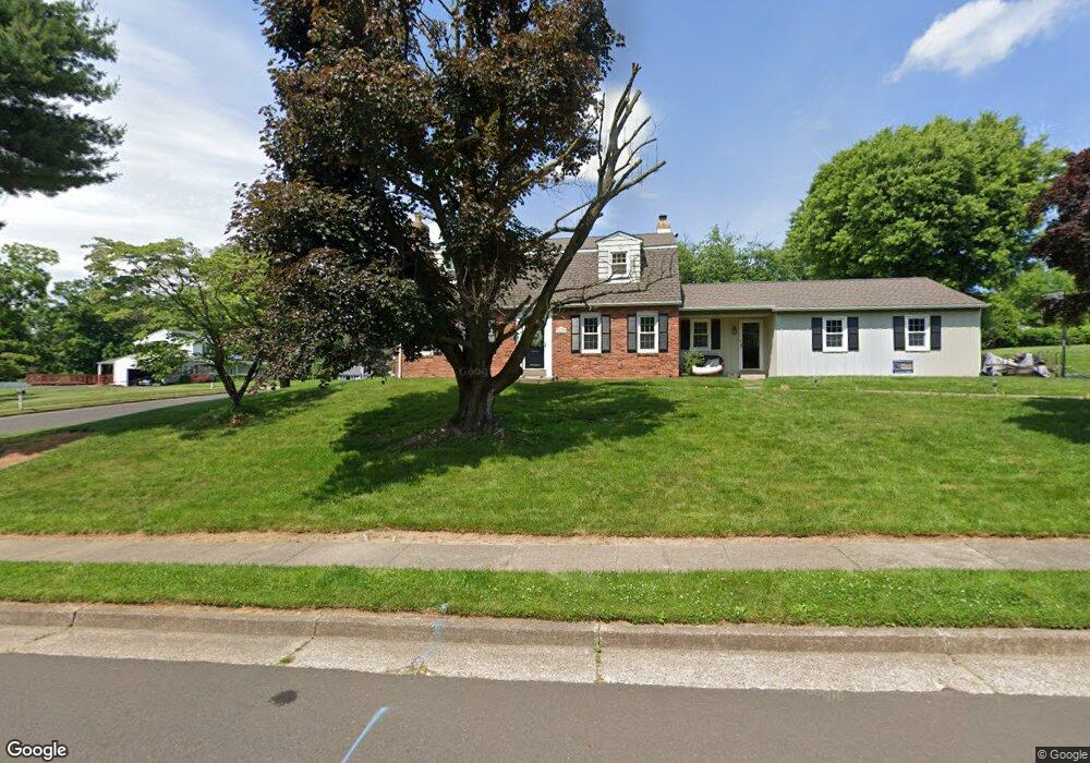
347 Ginger Rd Huntingdon Valley, PA 19006
Lower Moreland NeighborhoodEstimated Value: $606,802 - $662,000
3
Beds
3
Baths
2,376
Sq Ft
$266/Sq Ft
Est. Value
About This Home
This home is located at 347 Ginger Rd, Huntingdon Valley, PA 19006 and is currently estimated at $631,451, approximately $265 per square foot. 347 Ginger Rd is a home located in Montgomery County with nearby schools including Pine Road Elementary School, Murray Avenue School, and Lower Moreland High School.
Ownership History
Date
Name
Owned For
Owner Type
Purchase Details
Closed on
Oct 13, 2005
Sold by
Fiore Michael J and Fiore Jessica V
Bought by
Curran Joseph G and Curran Colleen R
Current Estimated Value
Home Financials for this Owner
Home Financials are based on the most recent Mortgage that was taken out on this home.
Original Mortgage
$300,000
Outstanding Balance
$160,877
Interest Rate
5.79%
Estimated Equity
$470,574
Create a Home Valuation Report for This Property
The Home Valuation Report is an in-depth analysis detailing your home's value as well as a comparison with similar homes in the area
Home Values in the Area
Average Home Value in this Area
Purchase History
| Date | Buyer | Sale Price | Title Company |
|---|---|---|---|
| Curran Joseph G | $480,000 | -- |
Source: Public Records
Mortgage History
| Date | Status | Borrower | Loan Amount |
|---|---|---|---|
| Open | Curran Joseph G | $300,000 |
Source: Public Records
Tax History Compared to Growth
Tax History
| Year | Tax Paid | Tax Assessment Tax Assessment Total Assessment is a certain percentage of the fair market value that is determined by local assessors to be the total taxable value of land and additions on the property. | Land | Improvement |
|---|---|---|---|---|
| 2025 | $9,924 | $196,560 | $64,120 | $132,440 |
| 2024 | $9,924 | $196,560 | $64,120 | $132,440 |
| 2023 | $9,484 | $196,560 | $64,120 | $132,440 |
| 2022 | $9,206 | $196,560 | $64,120 | $132,440 |
| 2021 | $9,017 | $196,560 | $64,120 | $132,440 |
| 2020 | $8,749 | $196,560 | $64,120 | $132,440 |
| 2019 | $8,618 | $196,560 | $64,120 | $132,440 |
| 2018 | $1,869 | $196,560 | $64,120 | $132,440 |
| 2017 | $8,128 | $196,560 | $64,120 | $132,440 |
| 2016 | $8,051 | $196,560 | $64,120 | $132,440 |
| 2015 | $7,564 | $196,560 | $64,120 | $132,440 |
| 2014 | $7,564 | $196,560 | $64,120 | $132,440 |
Source: Public Records
Map
Nearby Homes
- 2270 Dale Rd
- 0 Welsh Rd Unit 310 PAPH2537678
- 254 Carson Terrace
- 506 Carson Terrace
- 429 Carson Terrace
- 305 Carson Terrace
- 207 Carson Terrace
- 523 Carson Terrace
- 548 Carson Terrace
- 401 Carson Terrace Unit 401
- 272 Carson Terrace Unit 272
- 423 Carson Terrace
- 554 Carson Terrace
- 421 Jonathan Place
- 114 Almatt Place
- 2440 Walton Rd
- 1861 Lippincott Rd
- 657 Red Lion Rd
- 3262 Selig Ln
- 1680 Huntingdon Pike Unit CONDO 235
- 2227 Packard Ave
- 335 Ginger Rd
- 352 Ginger Rd
- 350 Ginger Rd
- 2224 Packard Ave
- 340 Ginger Rd
- 2210 Packard Ave
- 2239 Packard Ave
- 2236 Packard Ave
- 354 Welsh Rd
- 330 Welsh Rd
- 323 Ginger Rd
- 328 Ginger Rd
- 2200 Packard Ave
- 2189 Packard Ave
- 376 Welsh Rd
- 2250 Packard Ave
- 388 Welsh Rd
- 311 Ginger Rd
- 345 Cinnamon Dr