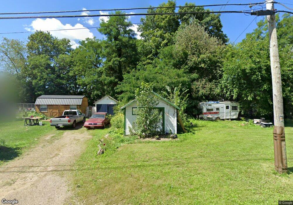
347 Hanna Rd Mansfield, OH 44906
Estimated Value: $47,000 - $369,000
1
Bed
1
Bath
198
Sq Ft
$800/Sq Ft
Est. Value
About This Home
This home is located at 347 Hanna Rd, Mansfield, OH 44906 and is currently estimated at $158,419, approximately $800 per square foot. 347 Hanna Rd is a home with nearby schools including Foundation Academy, Mansfield Elective Academy, and Interactive Media & Construction (IMAC) Academy.
Ownership History
Date
Name
Owned For
Owner Type
Purchase Details
Closed on
Jan 15, 2020
Sold by
Lyons Matthew L and Lyons Kristina L
Bought by
Mullins Brandon
Current Estimated Value
Purchase Details
Closed on
Sep 15, 2015
Sold by
Cooper Alan L
Bought by
Lyons Matthew L and Lyons Kristina L
Purchase Details
Closed on
Mar 2, 2012
Sold by
Hamm Michael Eric
Bought by
Cooper Alan L
Purchase Details
Closed on
Jun 14, 1996
Sold by
Hamm August
Bought by
Shaffner Mervin R
Purchase Details
Closed on
Jan 5, 1995
Sold by
Bauer Betty
Bought by
Hamm August
Purchase Details
Closed on
Jul 9, 1993
Sold by
Hamm August
Bought by
Hamm August
Purchase Details
Closed on
May 1, 1986
Create a Home Valuation Report for This Property
The Home Valuation Report is an in-depth analysis detailing your home's value as well as a comparison with similar homes in the area
Home Values in the Area
Average Home Value in this Area
Purchase History
| Date | Buyer | Sale Price | Title Company |
|---|---|---|---|
| Mullins Brandon | $18,713 | None Available | |
| Lyons Matthew L | $3,000 | Attorney | |
| Cooper Alan L | $4,000 | None Available | |
| Shaffner Mervin R | $2,000 | -- | |
| Hamm August | $3,500 | -- | |
| Hamm August | -- | -- | |
| -- | $6,000 | -- |
Source: Public Records
Tax History Compared to Growth
Tax History
| Year | Tax Paid | Tax Assessment Tax Assessment Total Assessment is a certain percentage of the fair market value that is determined by local assessors to be the total taxable value of land and additions on the property. | Land | Improvement |
|---|---|---|---|---|
| 2024 | $57 | $1,130 | $1,010 | $120 |
| 2023 | $54 | $1,130 | $1,010 | $120 |
| 2022 | $58 | $1,020 | $900 | $120 |
| 2021 | $59 | $1,020 | $900 | $120 |
| 2020 | $60 | $1,020 | $900 | $120 |
| 2019 | $67 | $1,020 | $900 | $120 |
| 2018 | $66 | $1,020 | $900 | $120 |
| 2017 | $136 | $2,170 | $2,050 | $120 |
| 2016 | $176 | $2,730 | $1,950 | $780 |
| 2015 | $56 | $2,730 | $1,950 | $780 |
| 2014 | $126 | $2,070 | $1,950 | $120 |
| 2012 | $99 | $2,130 | $2,050 | $80 |
Source: Public Records
Map
Nearby Homes
- 356 Warren Rd
- 0 Stone Rd
- 939 Country Club Dr
- 0 Herring Ave
- 743 Bowman St
- 673 Armstrong St Unit 23
- 0 Highway 30
- 946 Belmont Ave
- 283 Bulkley Ave
- 674 Averill Ave
- 1170 Fairfax Ave
- 876 Fairfax Ave
- 874 Fairfax Ave
- 933 Fairfax Ave
- 741 Burger Ave
- 526 Bowman St
- 426 Mcpherson St
- 0 State Route 314 Unit 9067316
- 0 State Route 314 Unit 225021979
- 1245 N Trimble Rd