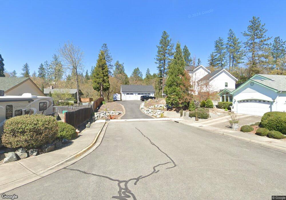
347 Independence Dr Grants Pass, OR 97527
Estimated Value: $528,000 - $551,324
3
Beds
4
Baths
2,423
Sq Ft
$223/Sq Ft
Est. Value
About This Home
This home is located at 347 Independence Dr, Grants Pass, OR 97527 and is currently estimated at $539,662, approximately $222 per square foot. 347 Independence Dr is a home with nearby schools including Allen Dale Elementary School, South Middle School, and Grants Pass High School.
Ownership History
Date
Name
Owned For
Owner Type
Purchase Details
Closed on
Apr 20, 2022
Sold by
Valerian Homes Llc
Bought by
Smith Tristene and Smith James
Current Estimated Value
Home Financials for this Owner
Home Financials are based on the most recent Mortgage that was taken out on this home.
Original Mortgage
$488,385
Outstanding Balance
$455,948
Interest Rate
3.85%
Mortgage Type
New Conventional
Estimated Equity
$83,714
Purchase Details
Closed on
Aug 6, 2020
Sold by
Webster Richard A and Webster Peggy L
Bought by
Valerian Homes Llc
Create a Home Valuation Report for This Property
The Home Valuation Report is an in-depth analysis detailing your home's value as well as a comparison with similar homes in the area
Home Values in the Area
Average Home Value in this Area
Purchase History
| Date | Buyer | Sale Price | Title Company |
|---|---|---|---|
| Smith Tristene | $514,385 | First American Title | |
| Valerian Homes Llc | $80,500 | First American |
Source: Public Records
Mortgage History
| Date | Status | Borrower | Loan Amount |
|---|---|---|---|
| Open | Smith Tristene | $488,385 |
Source: Public Records
Tax History Compared to Growth
Tax History
| Year | Tax Paid | Tax Assessment Tax Assessment Total Assessment is a certain percentage of the fair market value that is determined by local assessors to be the total taxable value of land and additions on the property. | Land | Improvement |
|---|---|---|---|---|
| 2025 | $4,212 | $324,330 | -- | -- |
| 2024 | $4,212 | $314,890 | -- | -- |
| 2023 | $3,967 | $305,720 | $0 | $0 |
| 2022 | $2,200 | $168,920 | $0 | $0 |
| 2021 | $746 | $57,460 | $0 | $0 |
| 2020 | $725 | $55,790 | $0 | $0 |
| 2019 | $704 | $54,170 | $0 | $0 |
| 2018 | $717 | $52,600 | $0 | $0 |
| 2017 | $682 | $50,000 | $0 | $0 |
| 2016 | $550 | $45,000 | $0 | $0 |
| 2015 | $466 | $38,250 | $0 | $0 |
| 2014 | $524 | $43,000 | $0 | $0 |
Source: Public Records
Map
Nearby Homes
- 185 Independence Dr
- 0 Fruitdale Lilac Hilltop Shepha Dr Unit 220196701
- 1626 Poplar Dr
- 1736 Drury Ln
- 111 Brandy Ln
- 395 Grandview Ln
- 1764 Harbeck Rd
- 805 Bower Ln
- 1550 Drury Ln
- 101 SE Liberty Dr
- 1095 Lee Roze Ln
- 1942 Parkdale Dr
- 1331 Vista Dr
- 426 SE Cadet Ct
- 1710 Blue Moon Ln
- 1288 Tobin Ct
- 444 Union Ave Unit TL 1700
- 444 Union Ave Unit TL 1600
- 333 W Park St
- 115 Rogue River Hwy Unit 302
- 335 Independence Dr
- 327 Independence Dr
- 292 Southridge Way
- 288 Southridge Way
- 319 SE Independence Dr
- 319 Independence Dr
- 311 Independence Dr
- 310 Independence Dr
- 765 Bailey Dr
- 284 Southridge Way
- 297 Southridge Way
- 303 Independence Dr
- 766 Bailey Dr
- 282 Southridge Way
- 295 Independence Dr
- 293 Southridge Way
- 280 Southridge Way
- 270 Independence Dr
- 302 Independence Dr
- 763 Bailey Dr