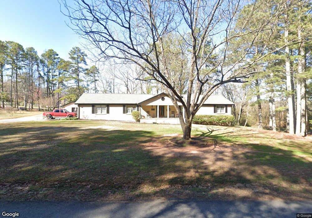
347 Johnson Dr Canton, GA 30115
Union Hill NeighborhoodEstimated Value: $420,000 - $767,000
3
Beds
3
Baths
2,232
Sq Ft
$233/Sq Ft
Est. Value
About This Home
This home is located at 347 Johnson Dr, Canton, GA 30115 and is currently estimated at $520,600, approximately $233 per square foot. 347 Johnson Dr is a home located in Cherokee County with nearby schools including Indian Knoll Elementary School, Rusk Middle School, and Sequoyah High School.
Ownership History
Date
Name
Owned For
Owner Type
Purchase Details
Closed on
Dec 20, 2012
Sold by
347 Johnson Drive Llc
Bought by
Grant Donna Ledbetter
Current Estimated Value
Purchase Details
Closed on
Dec 6, 2010
Sold by
Grant Donna L
Bought by
347 Johnson Drive Llc
Purchase Details
Closed on
Aug 27, 2009
Sold by
Ledbetter Bettye R
Bought by
Grant Donna L and Stancil Rhonda P
Purchase Details
Closed on
Jan 17, 2007
Sold by
Ledbetter Bettye R
Bought by
Smith Randy
Create a Home Valuation Report for This Property
The Home Valuation Report is an in-depth analysis detailing your home's value as well as a comparison with similar homes in the area
Home Values in the Area
Average Home Value in this Area
Purchase History
| Date | Buyer | Sale Price | Title Company |
|---|---|---|---|
| Grant Donna Ledbetter | -- | -- | |
| 347 Johnson Drive Llc | -- | -- | |
| Grant Donna L | -- | -- | |
| Smith Randy | $15,000 | -- |
Source: Public Records
Tax History
| Year | Tax Paid | Tax Assessment Tax Assessment Total Assessment is a certain percentage of the fair market value that is determined by local assessors to be the total taxable value of land and additions on the property. | Land | Improvement |
|---|---|---|---|---|
| 2025 | $667 | $160,636 | $47,080 | $113,556 |
| 2024 | $642 | $135,876 | $29,440 | $106,436 |
| 2023 | $509 | $137,956 | $29,440 | $108,516 |
| 2022 | $576 | $105,344 | $29,440 | $75,904 |
| 2021 | $547 | $84,000 | $24,520 | $59,480 |
| 2020 | $522 | $76,680 | $24,480 | $52,200 |
| 2019 | $1,929 | $74,640 | $24,480 | $50,160 |
| 2018 | $1,890 | $72,640 | $24,480 | $48,160 |
| 2017 | $1,922 | $183,600 | $24,480 | $48,960 |
| 2016 | $1,805 | $169,500 | $21,960 | $45,840 |
| 2015 | $1,761 | $162,900 | $18,560 | $46,600 |
| 2014 | $1,545 | $139,800 | $16,040 | $39,880 |
Source: Public Records
Map
Nearby Homes
- 590 Arthur Rd
- 386 Mason Dr
- 173 Sharon Dr
- 212 Knollwood Bend
- 208 Knollwood Bend
- 200 Knollwood Bend
- 302 Hickory Ln
- 134 Cypress Ct
- 137 Cypress Ct
- 121 Cypress Ct
- 232 Barrett Springs Way
- 107 Cypress Ct
- 343 Mountainview Cir
- 190 Redbud Rd
- 221 Mackenzie Ct
- 330 Sassafras Way
- 454 Sugarberry Ln
- 6161 Longwood Chase Unit III
- 195 Redbud Rd
- 191 Redbud Rd
- 160 Brittany Dr
- 169 Brittany Dr
- 176 Brittany Dr
- 748 Arthur Rd
- 125 Brittany Dr
- 189 Brittany Dr
- 192 Brittany Dr
- 488 Mason Dr
- 267 Johnson Dr
- 508 Mason Knl Dr
- 207 Brittany Dr
- 590 Arthur Dr
- 208 Brittany Dr
- 464 Mason Dr
- 653 Arthur Rd
- 519 Mason Knoll Dr
- 504 Mason Knoll Dr
- 532 Mason Knoll Dr
- 509 Mason Knoll Dr
Your Personal Tour Guide
Ask me questions while you tour the home.