347 Jones Rd Ellijay, GA 30536
Estimated Value: $374,546 - $525,000
--
Bed
--
Bath
816
Sq Ft
$536/Sq Ft
Est. Value
About This Home
This home is located at 347 Jones Rd, Ellijay, GA 30536 and is currently estimated at $437,637, approximately $536 per square foot. 347 Jones Rd is a home with nearby schools including Ellijay Elementary School, Clear Creek Elementary School, and Clear Creek Middle School.
Ownership History
Date
Name
Owned For
Owner Type
Purchase Details
Closed on
Mar 24, 2008
Sold by
Williams Kathryn
Bought by
David M Williams and David Kathryn M W
Current Estimated Value
Purchase Details
Closed on
Jul 27, 2007
Sold by
Sisson Corp
Bought by
Williams Kathryn
Purchase Details
Closed on
Jan 1, 2007
Sold by
Williams Kathryn
Bought by
Williams Kathryn
Purchase Details
Closed on
Apr 1, 1996
Bought by
Sisson Corp
Create a Home Valuation Report for This Property
The Home Valuation Report is an in-depth analysis detailing your home's value as well as a comparison with similar homes in the area
Home Values in the Area
Average Home Value in this Area
Purchase History
| Date | Buyer | Sale Price | Title Company |
|---|---|---|---|
| David M Williams | -- | -- | |
| Williams Kathryn | $239,000 | -- | |
| Williams Kathryn | $249,900 | -- | |
| Sisson Corp | $254,600 | -- |
Source: Public Records
Tax History Compared to Growth
Tax History
| Year | Tax Paid | Tax Assessment Tax Assessment Total Assessment is a certain percentage of the fair market value that is determined by local assessors to be the total taxable value of land and additions on the property. | Land | Improvement |
|---|---|---|---|---|
| 2025 | $2,093 | $135,240 | $26,000 | $109,240 |
| 2024 | $2,093 | $135,080 | $26,000 | $109,080 |
| 2023 | $2,160 | $135,080 | $26,000 | $109,080 |
| 2022 | $1,996 | $113,400 | $26,000 | $87,400 |
| 2021 | $1,735 | $87,440 | $20,000 | $67,440 |
| 2020 | $1,542 | $70,120 | $20,000 | $50,120 |
| 2019 | $1,475 | $65,120 | $15,000 | $50,120 |
| 2018 | $1,494 | $65,120 | $15,000 | $50,120 |
| 2017 | $1,444 | $58,680 | $15,000 | $43,680 |
| 2016 | $1,484 | $59,120 | $15,000 | $44,120 |
| 2015 | $1,449 | $58,760 | $22,480 | $36,280 |
| 2014 | $1,339 | $52,240 | $22,480 | $29,760 |
| 2013 | -- | $52,320 | $22,480 | $29,840 |
Source: Public Records
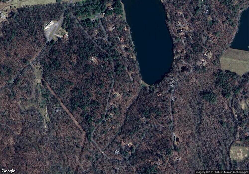
Map
Nearby Homes
- 571 Jones Creek Rd
- Lot 81 Lillie Dr
- 3349 Whitepath Rd
- 865 Bryant Farm Ln
- 43 Dustin Dr
- 99 Dustin Dr S
- 2587 Goose Island Rd
- 6496 Boardtown Rd
- 170 Dustin Dr N
- 0 Bryant Farm Ln Unit 10489816
- LT448 Apache Ct
- LT449 Apache Ct
- LOT 20 Big Ben Rd
- LOT 20 Big Ben Rd Unit 20
- 445 Apache Ct
- 1204 Settler's Ridge Rd
- 153AC Whitepath Rd
- 152AC Whitepath Rd
- LOT 508 Chicasaw Dr
- 55 Mount Pleasant Dr
- 507 Jones Creek Rd
- 481 Jones Creek Rd
- 589 Jones Creek Rd
- 470 Jones Creek Rd
- 470 Jones Creek Rd
- 220 Jones Creek Rd
- 241 Jimmy D Ct
- 239 Nicholas Way N
- LT 29 Jones Creek Rd
- LT 21 Jones Creek Rd
- 239 Nicholas Way N
- 0 Jones Creek Rd Unit 117930
- 0 Jones Creek Rd Unit 117762
- 0 Jones Creek Rd Unit 117761
- 0 Jones Creek Rd Unit 8073944
- 0 Jones Creek Rd
- 239 Nicholas Way S
- 38 Jimmy D Ct Unit 41
- 38 Jimmy D Ct
- 622 Jones Creek Rd