347 Owassa Dr Pocono Lake, PA 18347
Estimated Value: $187,000 - $256,000
3
Beds
1
Bath
960
Sq Ft
$234/Sq Ft
Est. Value
About This Home
This home is located at 347 Owassa Dr, Pocono Lake, PA 18347 and is currently estimated at $224,161, approximately $233 per square foot. 347 Owassa Dr is a home with nearby schools including Tobyhanna Elementary Center, Clear Run Intermediate School, and Pocono Mountain West Junior High School.
Ownership History
Date
Name
Owned For
Owner Type
Purchase Details
Closed on
Feb 23, 2007
Sold by
Money Monica R
Bought by
Perez Rafael P and Perez Jacqueline Ann
Current Estimated Value
Home Financials for this Owner
Home Financials are based on the most recent Mortgage that was taken out on this home.
Original Mortgage
$69,000
Outstanding Balance
$41,580
Interest Rate
6.27%
Mortgage Type
New Conventional
Estimated Equity
$182,581
Create a Home Valuation Report for This Property
The Home Valuation Report is an in-depth analysis detailing your home's value as well as a comparison with similar homes in the area
Home Values in the Area
Average Home Value in this Area
Purchase History
| Date | Buyer | Sale Price | Title Company |
|---|---|---|---|
| Perez Rafael P | $114,000 | None Available |
Source: Public Records
Mortgage History
| Date | Status | Borrower | Loan Amount |
|---|---|---|---|
| Open | Perez Rafael P | $69,000 |
Source: Public Records
Tax History Compared to Growth
Tax History
| Year | Tax Paid | Tax Assessment Tax Assessment Total Assessment is a certain percentage of the fair market value that is determined by local assessors to be the total taxable value of land and additions on the property. | Land | Improvement |
|---|---|---|---|---|
| 2025 | $754 | $75,730 | $17,490 | $58,240 |
| 2024 | $631 | $75,730 | $17,490 | $58,240 |
| 2023 | $2,020 | $75,730 | $17,490 | $58,240 |
| 2022 | $1,984 | $75,730 | $17,490 | $58,240 |
| 2021 | $1,984 | $75,730 | $17,490 | $58,240 |
| 2020 | $532 | $75,730 | $17,490 | $58,240 |
| 2019 | $2,086 | $12,180 | $1,500 | $10,680 |
| 2018 | $2,086 | $12,180 | $1,500 | $10,680 |
| 2017 | $2,111 | $12,180 | $1,500 | $10,680 |
| 2016 | $451 | $12,180 | $1,500 | $10,680 |
| 2015 | $1,321 | $12,180 | $1,500 | $10,680 |
| 2014 | $1,321 | $12,180 | $1,500 | $10,680 |
Source: Public Records
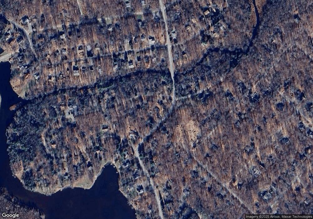
Map
Nearby Homes
- 107 Cardinal Dr
- 242 Trout Creek Dr
- 1163 Kinta Cir
- 0 Kinta Cir 13 Cir
- 33 Netcong Cir
- 0
- 135 Sitka Dr
- 804 Evergreen Rd
- 113 Netcong Cir
- 0 Trout Creek Dr Unit PM-98736
- 804 Evergreen Dr
- 164 Fawn Rd
- 255 Mountain View Dr
- 2158 Tuscarora Dr
- 108 Moccasin Trail
- 202 Tepee Dr
- 119 Sundance Dr
- 164 Mountain View Dr #1007 Dr
- 368 Ridge Rd
- 276 Mountain View Dr
- 1190 Kinta Cir
- 345 Owassa Dr
- 1186 Kinta Cir
- 1465 Lake Shore Cir
- 29 Lake Shore Cir
- 341 Owassa Dr
- 1182 Kinta Cir
- 26 Lake Shore Cir
- 8 Lake Shore Cir
- 342 Owassa Dr
- 47 Owassa # 48 Dr
- 1189 Kinta Cir
- 1187 Kinta Cir
- 1139 Lake Shore Cir
- 1176 Kinta Cir
- 336 Owassa Dr
- 1183 Kinta Cir
- 1201 Kinta Cir
- 1206 Kinta Cir
- 0 Farmers (Formerly Fern) Dr