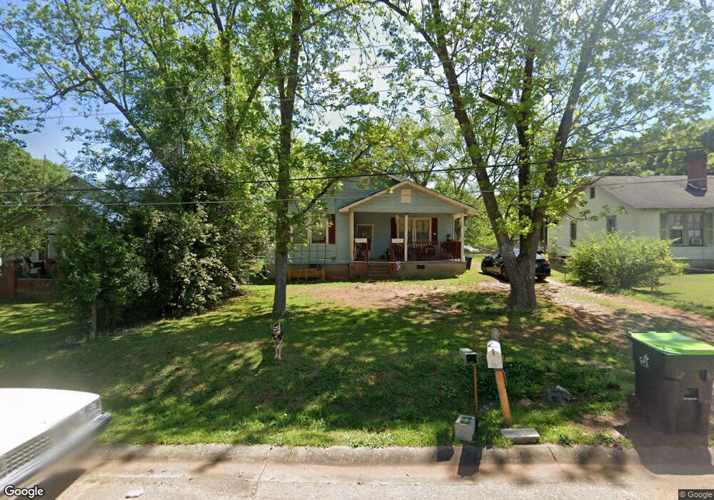
347 Rogers St Thomaston, GA 30286
Estimated Value: $55,000 - $137,000
2
Beds
1
Bath
1,386
Sq Ft
$74/Sq Ft
Est. Value
About This Home
This home is located at 347 Rogers St, Thomaston, GA 30286 and is currently estimated at $102,649, approximately $74 per square foot. 347 Rogers St is a home located in Upson County with nearby schools including Upson-Lee South Elementary School, Upson-Lee North Elementary School, and Upson-Lee Middle School.
Ownership History
Date
Name
Owned For
Owner Type
Purchase Details
Closed on
Apr 10, 2006
Sold by
Not Provided
Bought by
Burden Corey L
Current Estimated Value
Purchase Details
Closed on
Oct 28, 2005
Sold by
Sec Of Housing & U
Bought by
Kulp Robert A
Home Financials for this Owner
Home Financials are based on the most recent Mortgage that was taken out on this home.
Original Mortgage
$100,000,000
Interest Rate
5.84%
Mortgage Type
New Conventional
Create a Home Valuation Report for This Property
The Home Valuation Report is an in-depth analysis detailing your home's value as well as a comparison with similar homes in the area
Home Values in the Area
Average Home Value in this Area
Purchase History
| Date | Buyer | Sale Price | Title Company |
|---|---|---|---|
| Burden Corey L | $35,000 | -- | |
| Kulp Robert A | $25,790 | -- |
Source: Public Records
Mortgage History
| Date | Status | Borrower | Loan Amount |
|---|---|---|---|
| Previous Owner | Kulp Robert A | $100,000,000 |
Source: Public Records
Tax History Compared to Growth
Tax History
| Year | Tax Paid | Tax Assessment Tax Assessment Total Assessment is a certain percentage of the fair market value that is determined by local assessors to be the total taxable value of land and additions on the property. | Land | Improvement |
|---|---|---|---|---|
| 2024 | $1,069 | $29,906 | $786 | $29,120 |
| 2023 | $744 | $28,706 | $786 | $27,920 |
| 2022 | $599 | $21,618 | $786 | $20,832 |
| 2021 | $496 | $18,815 | $786 | $18,029 |
| 2020 | $502 | $17,778 | $786 | $16,992 |
| 2019 | $496 | $16,204 | $786 | $15,418 |
| 2018 | $497 | $16,204 | $786 | $15,418 |
| 2017 | $515 | $15,320 | $786 | $14,534 |
| 2016 | $506 | $14,816 | $800 | $14,016 |
| 2015 | $509 | $14,894 | $878 | $14,016 |
| 2014 | $510 | $14,894 | $878 | $14,016 |
Source: Public Records
Map
Nearby Homes
- 0 Walton Cir Unit 10420188
- 0 Highway 19 S Unit 24061935
- 269 Mlk jr Dr
- 2077 Wiley St
- 2088 Wiley St
- 0 Veterans Dr Unit 10303890
- 133 Springdale Dr
- 615 Peachtree Dr
- 2283 Cook St
- 312 Magnolia Ave
- 720 S Church St
- 0 Davis Lake Rd Unit 10511531
- 209 Upson Ave
- 406 Brookwood Dr
- 68 Davis Lake Rd Unit LOT 16
- 710 Hill St
- 107 Shasta Dr
- 105 Upson Ave
- 1456 Grantling St
- 300 Mallory St