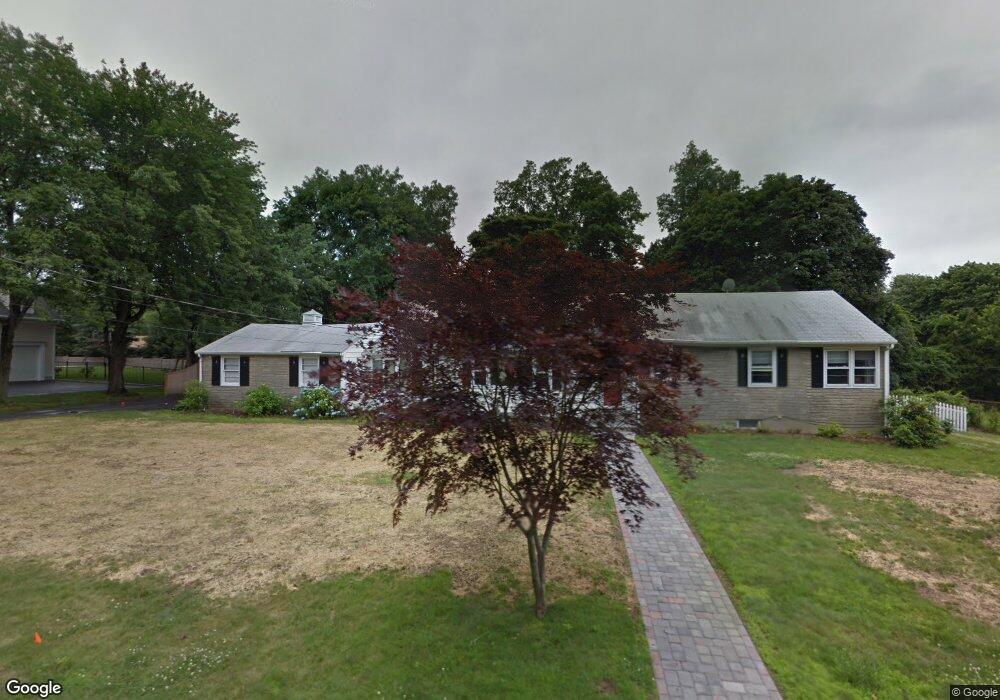
347 Ronald Dr Fairfield, CT 06825
Tunxis Hill NeighborhoodEstimated Value: $760,000 - $884,000
3
Beds
3
Baths
2,338
Sq Ft
$360/Sq Ft
Est. Value
About This Home
This home is located at 347 Ronald Dr, Fairfield, CT 06825 and is currently estimated at $842,020, approximately $360 per square foot. 347 Ronald Dr is a home located in Fairfield County with nearby schools including Jennings Elementary School, Fairfield Woods Middle School, and Fairfield Warde High School.
Ownership History
Date
Name
Owned For
Owner Type
Purchase Details
Closed on
Sep 30, 2005
Sold by
Remo Joseph T
Bought by
Barnaby Paul T and Barnaby Kristina M
Current Estimated Value
Home Financials for this Owner
Home Financials are based on the most recent Mortgage that was taken out on this home.
Original Mortgage
$536,000
Outstanding Balance
$288,337
Interest Rate
5.84%
Estimated Equity
$553,683
Purchase Details
Closed on
Jan 27, 1999
Sold by
Moses Lawrence A and Moses Lynda
Bought by
Remo Joseph T
Purchase Details
Closed on
Apr 28, 1992
Sold by
Delvecchio Albert Est
Bought by
Mooses Lawrence A and Moses Lynda
Create a Home Valuation Report for This Property
The Home Valuation Report is an in-depth analysis detailing your home's value as well as a comparison with similar homes in the area
Home Values in the Area
Average Home Value in this Area
Purchase History
| Date | Buyer | Sale Price | Title Company |
|---|---|---|---|
| Barnaby Paul T | $670,000 | -- | |
| Barnaby Paul T | $670,000 | -- | |
| Remo Joseph T | $269,950 | -- | |
| Remo Joseph T | $269,950 | -- | |
| Mooses Lawrence A | $205,000 | -- |
Source: Public Records
Mortgage History
| Date | Status | Borrower | Loan Amount |
|---|---|---|---|
| Open | Mooses Lawrence A | $48,000 | |
| Open | Mooses Lawrence A | $536,000 | |
| Closed | Mooses Lawrence A | $536,000 |
Source: Public Records
Tax History Compared to Growth
Tax History
| Year | Tax Paid | Tax Assessment Tax Assessment Total Assessment is a certain percentage of the fair market value that is determined by local assessors to be the total taxable value of land and additions on the property. | Land | Improvement |
|---|---|---|---|---|
| 2025 | $10,493 | $369,600 | $241,360 | $128,240 |
| 2024 | $10,312 | $369,600 | $241,360 | $128,240 |
| 2023 | $10,168 | $369,600 | $241,360 | $128,240 |
| 2022 | $10,068 | $369,600 | $241,360 | $128,240 |
| 2021 | $9,972 | $369,600 | $241,360 | $128,240 |
| 2020 | $9,159 | $341,880 | $207,410 | $134,470 |
| 2019 | $9,159 | $341,880 | $207,410 | $134,470 |
| 2018 | $9,012 | $341,880 | $207,410 | $134,470 |
| 2017 | $8,827 | $341,880 | $207,410 | $134,470 |
| 2016 | $8,701 | $341,880 | $207,410 | $134,470 |
| 2015 | $8,137 | $328,230 | $218,330 | $109,900 |
| 2014 | $8,009 | $328,230 | $218,330 | $109,900 |
Source: Public Records
Map
Nearby Homes
- 27 Bloomfield Dr
- 67 Campfield Dr
- 270 Oakwood Dr
- 244 Tunxis Hill Cut Off
- 24 Warsaw St
- 152 Roseville St
- 148 Roseville St
- 31 High Ridge Rd
- 143 Sawyer Rd
- 706 Judd St
- 42 Fairway Green
- 1009 High St
- 251 Soundview Ave
- 115 Mayfair Rd
- 299 Marlborough Terrace
- 162 Country Rd Unit 162
- 221 Hunyadi Ave
- 210 Pansy Rd
- 90 White Oak Rd
- 3 Old Black Rock Turnpike