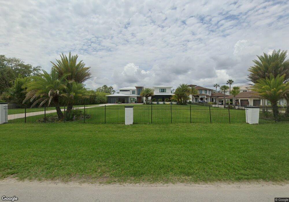
347 Roscoe Blvd N Ponte Vedra Beach, FL 32082
Estimated Value: $3,067,000 - $4,252,000
4
Beds
5
Baths
5,516
Sq Ft
$695/Sq Ft
Est. Value
About This Home
This home is located at 347 Roscoe Blvd N, Ponte Vedra Beach, FL 32082 and is currently estimated at $3,835,997, approximately $695 per square foot. 347 Roscoe Blvd N is a home located in St. Johns County with nearby schools including Ocean Palms Elementary School, Alice B. Landrum Middle School, and Ponte Vedra High School.
Ownership History
Date
Name
Owned For
Owner Type
Purchase Details
Closed on
Mar 5, 2020
Sold by
Barnett Peter R and Barnett Patricia B
Bought by
Barnett Peter R and Barnett Patricia B
Current Estimated Value
Purchase Details
Closed on
Dec 31, 2019
Sold by
Barnett Peter R and Barnett Patricia B
Bought by
Barnett Neil H and Hickman Hollie J
Purchase Details
Closed on
Feb 10, 2017
Sold by
Ruffo Gaile E and Ruffo Rocco C
Bought by
Barnett Peter R and Barnett Patricia B
Create a Home Valuation Report for This Property
The Home Valuation Report is an in-depth analysis detailing your home's value as well as a comparison with similar homes in the area
Home Values in the Area
Average Home Value in this Area
Purchase History
| Date | Buyer | Sale Price | Title Company |
|---|---|---|---|
| Barnett Peter R | -- | None Available | |
| Barnett Neil H | $650,000 | Attorney | |
| Barnett Peter R | $1,100,000 | Attorney |
Source: Public Records
Tax History Compared to Growth
Tax History
| Year | Tax Paid | Tax Assessment Tax Assessment Total Assessment is a certain percentage of the fair market value that is determined by local assessors to be the total taxable value of land and additions on the property. | Land | Improvement |
|---|---|---|---|---|
| 2025 | $32,218 | $2,710,612 | -- | -- |
| 2024 | $32,218 | $2,634,220 | -- | -- |
| 2023 | $32,218 | $2,557,495 | $0 | $0 |
| 2022 | $31,510 | $2,483,005 | $0 | $0 |
| 2021 | $11,749 | $1,024,553 | $0 | $0 |
| 2020 | $9,168 | $688,557 | $0 | $0 |
| 2019 | $8,996 | $649,177 | $0 | $0 |
| 2018 | $8,452 | $582,691 | $0 | $0 |
| 2017 | $2,746 | $214,412 | $0 | $0 |
| 2016 | $2,745 | $216,302 | $0 | $0 |
| 2015 | $2,785 | $214,798 | $0 | $0 |
| 2014 | $2,802 | $213,094 | $0 | $0 |
Source: Public Records
Map
Nearby Homes
- 161 Indian Cove Ln
- 24469 Harbour View Dr
- 108 Harbourmaster Ct
- 116 Annapolis Ln
- 145 Deer Haven Dr
- 6533 Burnham Cir
- 293 Water's Edge Dr S
- 6515 Burnham Cir
- 12326 Arbor Dr
- 1200 Salt Creek Pointe Way
- 244 Roscoe Blvd N
- 3076 Cypress Creek Dr N
- 8115 Seven Mile Dr
- 5119 Otter Creek Dr
- 3001 Cypress Creek Dr E
- 231 N Roscoe Blvd
- 112 Newport Ln
- 1208 Salt Marsh Cir
- 24631 Deer Trace Dr
- 146 Bermuda Ct
- 349 Roscoe Blvd N
- 345 Roscoe Blvd N
- 351 Roscoe Blvd N
- 343 Roscoe Blvd N
- 353 Roscoe Blvd N
- 355 Roscoe Blvd N
- 341 Roscoe Blvd N
- 346 N Roscoe Blvd
- 344 N Roscoe Blvd
- 357 Roscoe Blvd N
- 348 Roscoe Blvd N
- 348 Roscoe Blvd N Unit Extension
- 359 Roscoe Blvd N
- 350 Roscoe Blvd N
- 342 Roscoe Blvd N
- 354 Roscoe Blvd N
- 361 N Roscoe Blvd
- 340 N Roscoe Blvd
- 337 N Roscoe Blvd
- 433 Roscoe Blvd N