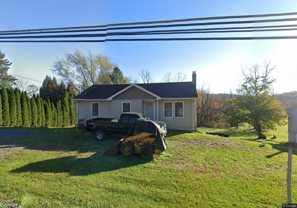
347 State Route 897 W Newmanstown, PA 17073
Heidelberg NeighborhoodEstimated Value: $226,839 - $338,000
3
Beds
2
Baths
1,006
Sq Ft
$268/Sq Ft
Est. Value
About This Home
This home is located at 347 State Route 897 W, Newmanstown, PA 17073 and is currently estimated at $269,960, approximately $268 per square foot. 347 State Route 897 W is a home located in Lebanon County with nearby schools including Eastern Lebanon County Senior High School, Sun Valley Parochial School, and Millbach Mennonite School.
Ownership History
Date
Name
Owned For
Owner Type
Purchase Details
Closed on
Jul 18, 2018
Sold by
Garman Earlz Z and Garman Gail B
Bought by
Garman Joshua E
Current Estimated Value
Purchase Details
Closed on
Apr 21, 2014
Sold by
Bennetch Crystal M and Klopp Patricia
Bought by
Garman Earl Z and Garman Gail B
Create a Home Valuation Report for This Property
The Home Valuation Report is an in-depth analysis detailing your home's value as well as a comparison with similar homes in the area
Home Values in the Area
Average Home Value in this Area
Purchase History
| Date | Buyer | Sale Price | Title Company |
|---|---|---|---|
| Garman Joshua E | -- | None Available | |
| Garman Earl Z | $30,000 | None Available |
Source: Public Records
Tax History Compared to Growth
Tax History
| Year | Tax Paid | Tax Assessment Tax Assessment Total Assessment is a certain percentage of the fair market value that is determined by local assessors to be the total taxable value of land and additions on the property. | Land | Improvement |
|---|---|---|---|---|
| 2025 | $2,037 | $87,900 | $33,000 | $54,900 |
| 2024 | $1,881 | $87,900 | $33,000 | $54,900 |
| 2023 | $1,881 | $87,900 | $33,000 | $54,900 |
| 2022 | $1,838 | $87,900 | $33,000 | $54,900 |
| 2021 | $1,754 | $87,900 | $33,000 | $54,900 |
| 2020 | $462 | $23,500 | $23,500 | $0 |
| 2019 | $454 | $23,500 | $23,500 | $0 |
| 2018 | $446 | $23,500 | $23,500 | $0 |
| 2017 | $95 | $23,500 | $23,500 | $0 |
| 2016 | $426 | $23,500 | $23,500 | $0 |
| 2015 | -- | $23,500 | $23,500 | $0 |
| 2014 | -- | $23,500 | $23,500 | $0 |
Source: Public Records
Map
Nearby Homes
- 2135 Heidelberg Ave
- 161 Marissa Ct
- 221 Copper Ridge Dr
- Riley Plan at Copper Ridge - Singles
- Wesley Plan at Copper Ridge - Singles
- Brookfield Plan at Copper Ridge - Singles
- Westbrooke Plan at Copper Ridge - Singles
- Charlotte Plan at Copper Ridge - Singles
- Stonecroft Plan at Copper Ridge - Singles
- Northfield Plan at Copper Ridge - Singles
- Kingston Plan at Copper Ridge - Singles
- Darien Plan at Copper Ridge - Singles
- Perry Plan at Copper Ridge - Singles
- Oakley Plan at Copper Ridge - Singles
- Huntington Plan at Copper Ridge - Singles
- Hunter Plan at Copper Ridge - Singles
- Silverbrooke Plan at Copper Ridge - Singles
- Lawrence Plan at Copper Ridge - Singles
- 169 Marissa Ct
- 164 Marissa Ct
- 345 State Route 897 W
- 349 State Route 897 W
- 2487 Heidelberg Ave
- 339 State Route 897 W
- 353 State Route 897 W
- WS N Sheridan Rd Unit 10
- WS N Seridan Rd
- 00 Sunnyside Rd
- WS N Sheridan Rd
- 0 Canaan Grove Unit 1008560118
- 335 State Route 897 W
- 356 State Route 897 W
- 2387 Heidelberg Ave
- 331 State Route 897 W
- 364 State Route 897 W
- 365 State Route 897 W
- 329 State Route 897 W
- 320 State Route 897 W
- 368 State Route 897 W
- 125 Hopeland Rd