347 Tanyard Trace Benton, LA 71006
Dukedale-Vanceville NeighborhoodEstimated Value: $605,000 - $1,156,554
5
Beds
4
Baths
5,466
Sq Ft
$167/Sq Ft
Est. Value
About This Home
This home is located at 347 Tanyard Trace, Benton, LA 71006 and is currently estimated at $913,518, approximately $167 per square foot. 347 Tanyard Trace is a home with nearby schools including Kingston Elementary School, Benton Middle School, and Benton High School.
Ownership History
Date
Name
Owned For
Owner Type
Purchase Details
Closed on
Mar 27, 2015
Sold by
Total Properties Inc
Bought by
Branton Leonard Tiffani J and Leonard Wesley
Current Estimated Value
Home Financials for this Owner
Home Financials are based on the most recent Mortgage that was taken out on this home.
Original Mortgage
$72,000
Outstanding Balance
$55,407
Interest Rate
3.73%
Mortgage Type
Purchase Money Mortgage
Estimated Equity
$858,111
Create a Home Valuation Report for This Property
The Home Valuation Report is an in-depth analysis detailing your home's value as well as a comparison with similar homes in the area
Home Values in the Area
Average Home Value in this Area
Purchase History
| Date | Buyer | Sale Price | Title Company |
|---|---|---|---|
| Branton Leonard Tiffani J | $130,000 | None Available |
Source: Public Records
Mortgage History
| Date | Status | Borrower | Loan Amount |
|---|---|---|---|
| Open | Branton Leonard Tiffani J | $72,000 |
Source: Public Records
Tax History
| Year | Tax Paid | Tax Assessment Tax Assessment Total Assessment is a certain percentage of the fair market value that is determined by local assessors to be the total taxable value of land and additions on the property. | Land | Improvement |
|---|---|---|---|---|
| 2024 | $11,855 | $103,219 | $10,000 | $93,219 |
| 2023 | $10,463 | $87,024 | $10,000 | $77,024 |
| 2022 | $10,410 | $87,024 | $10,000 | $77,024 |
| 2021 | $10,251 | $87,024 | $10,000 | $77,024 |
| 2020 | $10,251 | $87,024 | $10,000 | $77,024 |
| 2019 | $10,249 | $86,002 | $9,000 | $77,002 |
| 2018 | $10,249 | $86,002 | $9,000 | $77,002 |
| 2017 | $10,129 | $86,002 | $9,000 | $77,002 |
| 2016 | $1,671 | $13,000 | $13,000 | $0 |
| 2015 | $473 | $3,900 | $3,900 | $0 |
| 2014 | $473 | $3,900 | $3,900 | $0 |
Source: Public Records
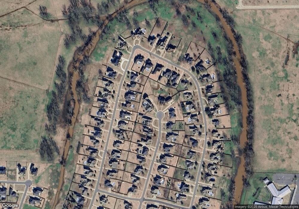
Map
Nearby Homes
- 262 Cattail Trail
- 315 Tanyard
- 624 Silkwood Dr
- 221 Cattail Trail
- 425 Kingston Rd
- 501 Hempstead Cir
- 0 Linton Rd Unit 21192425
- 106 Pear Tree Ln
- 4704 Taldon Ln
- 307 Newport Ln
- 4016 Elizabeth Ln
- 507 Toulouse Ct
- 1034 Maize St
- 323 Newport Ln
- 213 Roanoke Cir
- 3909 Le Brooke Ln
- 4425 Ellis Ct
- 214 Apalachee Way
- 657 Alder Ln
- 686 Dumaine Dr
- 345 Tanyard Trace
- 458 Kingston Plantation Blvd
- 346 Tanyard Trace
- 456 Kingston Plantation Blvd
- 454 Kingston Plantation Blvd
- 343 Tanyard
- 344 Tanyard Trace
- 462 Kingston Plantation Blvd
- 452 Kingston Plantation Blvd
- 342 Tanyard Trace
- 273 Cattails Trail
- 273 Cattail Trail
- 341 Tanyard Trace
- 271 Cattail Trail
- 269 Cattail Trail
- 457 Kingston Plantation Blvd
- 340 Tanyard Trace
- 263 Cattail Trail
- 275 Cattail Trail
- 261 Cattail Trail
Your Personal Tour Guide
Ask me questions while you tour the home.