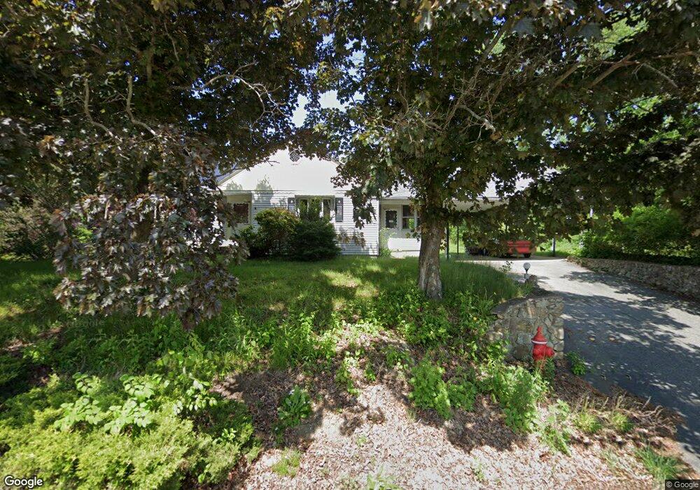
347 W River Rd Uxbridge, MA 01569
Estimated Value: $437,460 - $505,000
3
Beds
1
Bath
1,264
Sq Ft
$373/Sq Ft
Est. Value
About This Home
This home is located at 347 W River Rd, Uxbridge, MA 01569 and is currently estimated at $471,115, approximately $372 per square foot. 347 W River Rd is a home located in Worcester County with nearby schools including Uxbridge High School, Our Lady of the Valley Regional School, and Whitinsville Christian School.
Ownership History
Date
Name
Owned For
Owner Type
Purchase Details
Closed on
Nov 9, 2018
Sold by
Montville Michael and Montville Michael J
Bought by
Michael J Montville Lt
Current Estimated Value
Purchase Details
Closed on
Aug 29, 2018
Sold by
Montville Ft
Bought by
Montville Michael
Purchase Details
Closed on
Nov 5, 2012
Sold by
Montville Emile J and Montville R
Bought by
Montville Ft and Johnson Barbara D
Create a Home Valuation Report for This Property
The Home Valuation Report is an in-depth analysis detailing your home's value as well as a comparison with similar homes in the area
Home Values in the Area
Average Home Value in this Area
Purchase History
| Date | Buyer | Sale Price | Title Company |
|---|---|---|---|
| Michael J Montville Lt | -- | -- | |
| Montville Michael | -- | -- | |
| Montville Ft | -- | -- |
Source: Public Records
Tax History
| Year | Tax Paid | Tax Assessment Tax Assessment Total Assessment is a certain percentage of the fair market value that is determined by local assessors to be the total taxable value of land and additions on the property. | Land | Improvement |
|---|---|---|---|---|
| 2025 | $52 | $397,300 | $161,700 | $235,600 |
| 2024 | $4,764 | $368,700 | $153,900 | $214,800 |
| 2023 | $4,364 | $312,800 | $132,500 | $180,300 |
| 2022 | $4,175 | $275,400 | $116,800 | $158,600 |
| 2021 | $4,357 | $275,400 | $116,800 | $158,600 |
| 2020 | $4,465 | $266,700 | $124,600 | $142,100 |
| 2019 | $4,785 | $275,800 | $136,400 | $139,400 |
| 2018 | $4,547 | $264,800 | $136,400 | $128,400 |
| 2017 | $6,187 | $364,800 | $251,900 | $112,900 |
| 2016 | $5,635 | $320,700 | $195,700 | $125,000 |
| 2015 | $5,542 | $318,500 | $195,700 | $122,800 |
Source: Public Records
Map
Nearby Homes
- 218 E Hartford Ave Unit 218
- 25 Dunny Cove Ln
- 35 Pouts Ln
- 24 Olde Canal Way Unit 24
- 44 Pouts Ln
- 288-290 Providence Rd
- 3 Strathmore Shire Unit A
- 76 Pouts Ln
- 223 Mendon St
- 12 Hartford Ave E
- 125 Heritage Dr
- 164 Heritage Dr Unit 164
- 26 Rivulet St
- 138 Elm St
- 237 Heritage Dr Unit 237
- 240 Heritage Dr
- 71 Rivulet St Unit B
- 831 Providence Rd Unit 837
- 4 Moon Hill Rd
- 3 Moon Hill Rd
- 344 W River Rd
- 338 W River Rd
- 393 E Hartford Ave
- 18 Wendy Way
- 333 W River Rd
- 332 W River Rd
- 383 E Hartford Ave
- 399 Hartford Ave E
- 399 Hartford Ave E Unit A
- 411 E Hartford Ave
- 379 Hartford Ave E
- 326 W River Rd
- 417 Hartford Ave E
- 16 My Way
- 25 Wendy Way
- 322 W River Rd
- 408 Hartford Ave E
- 373 Hartford Ave E
- 373 Hartford Ave E Unit 1
- 373 Hartford Ave E Unit 373
Your Personal Tour Guide
Ask me questions while you tour the home.