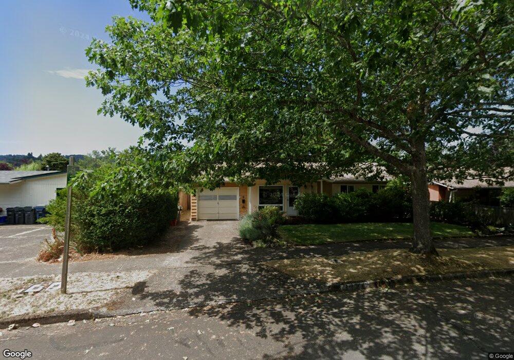
3470 Alder St Eugene, OR 97405
Southeast Eugene NeighborhoodEstimated Value: $421,000 - $457,907
3
Beds
2
Baths
999
Sq Ft
$436/Sq Ft
Est. Value
About This Home
This home is located at 3470 Alder St, Eugene, OR 97405 and is currently estimated at $435,477, approximately $435 per square foot. 3470 Alder St is a home located in Lane County with nearby schools including Camas Ridge Community Elementary School, Roosevelt Middle School, and South Eugene High School.
Ownership History
Date
Name
Owned For
Owner Type
Purchase Details
Closed on
Feb 28, 2014
Sold by
Swallen Timothy C
Bought by
Gill Rajinder Sky
Current Estimated Value
Home Financials for this Owner
Home Financials are based on the most recent Mortgage that was taken out on this home.
Original Mortgage
$156,000
Outstanding Balance
$117,726
Interest Rate
4.38%
Mortgage Type
New Conventional
Estimated Equity
$317,751
Purchase Details
Closed on
May 8, 1998
Sold by
Katherine France Janet
Bought by
Swallen Timothy C
Home Financials for this Owner
Home Financials are based on the most recent Mortgage that was taken out on this home.
Original Mortgage
$98,400
Interest Rate
7.13%
Purchase Details
Closed on
Apr 24, 1998
Sold by
Daubigne Simone
Bought by
Swallen Tim
Home Financials for this Owner
Home Financials are based on the most recent Mortgage that was taken out on this home.
Original Mortgage
$98,400
Interest Rate
7.13%
Create a Home Valuation Report for This Property
The Home Valuation Report is an in-depth analysis detailing your home's value as well as a comparison with similar homes in the area
Home Values in the Area
Average Home Value in this Area
Purchase History
| Date | Buyer | Sale Price | Title Company |
|---|---|---|---|
| Gill Rajinder Sky | $195,001 | Cascade Title Company | |
| Swallen Timothy C | $123,000 | Cascade Title Co | |
| Swallen Tim | -- | Cascade Title Co |
Source: Public Records
Mortgage History
| Date | Status | Borrower | Loan Amount |
|---|---|---|---|
| Open | Gill Rajinder Sky | $156,000 | |
| Previous Owner | Swallen Timothy C | $98,400 |
Source: Public Records
Tax History
| Year | Tax Paid | Tax Assessment Tax Assessment Total Assessment is a certain percentage of the fair market value that is determined by local assessors to be the total taxable value of land and additions on the property. | Land | Improvement |
|---|---|---|---|---|
| 2025 | $4,248 | $218,021 | -- | -- |
| 2024 | $4,195 | $211,671 | -- | -- |
| 2023 | $4,195 | $205,506 | $0 | $0 |
| 2022 | $3,930 | $199,521 | $0 | $0 |
| 2021 | $3,691 | $193,710 | $0 | $0 |
| 2020 | $3,704 | $188,068 | $0 | $0 |
| 2019 | $3,578 | $182,591 | $0 | $0 |
| 2018 | $3,368 | $172,110 | $0 | $0 |
| 2017 | $3,217 | $172,110 | $0 | $0 |
| 2016 | $3,115 | $167,097 | $0 | $0 |
| 2015 | $3,009 | $162,230 | $0 | $0 |
| 2014 | $2,978 | $157,505 | $0 | $0 |
Source: Public Records
Map
Nearby Homes
- 585 E 36th Ave
- 790 E 32nd Ave
- 555 Stafford Ct
- 1180 E 37th Ave
- 3817 E Amazon Dr
- 3605 Emerald St
- 3023 Hummingbird Ln
- 3031 Hummingbird Ln
- 3790 Onyx St
- 1210 E 38th Ave
- 0 E 39th Ave
- 310 1/2 E 31st Ave Unit 1
- 3283 Stoney Ridge Rd
- 2815 Hilyard St
- 434 E 39th Ave
- 275 E 39th Ave
- 4320 Fox Hollow Rd
- 910 E 43rd Ave
- 0 N Shasta Loop Unit 384285834
- 4023 Donald St Unit K
Your Personal Tour Guide
Ask me questions while you tour the home.