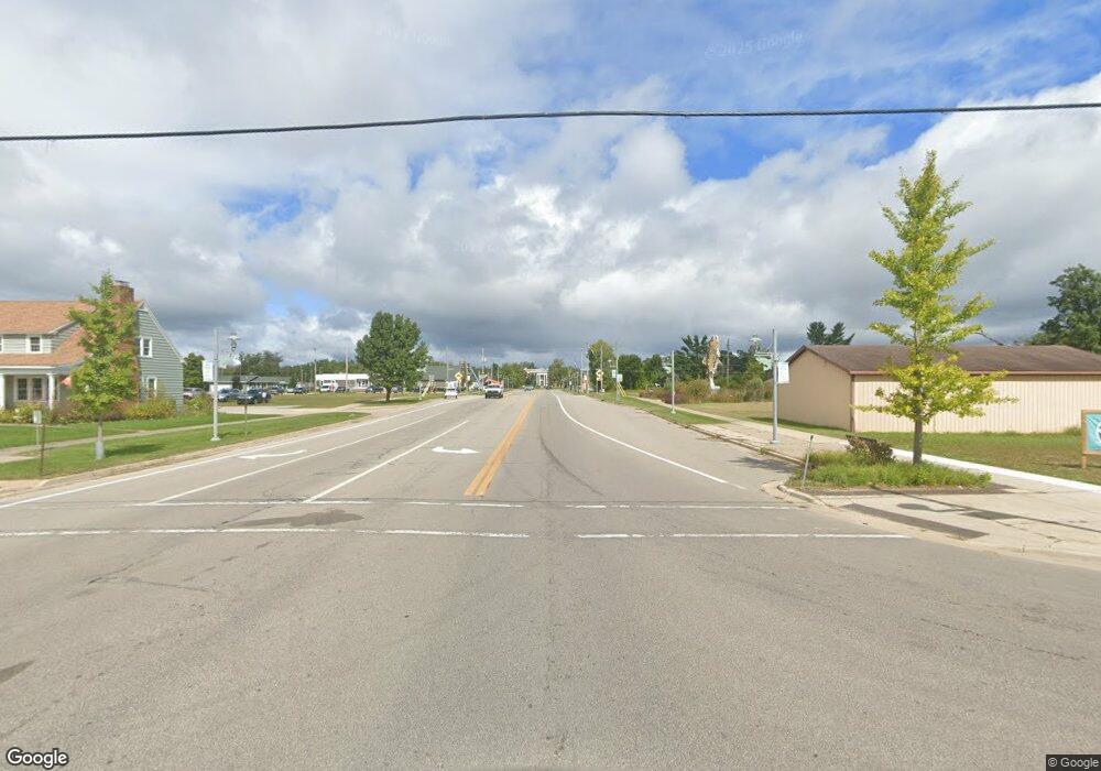
3470 S M 37 Unit US Route 10 Baldwin, MI 49304
Estimated Value: $44,910 - $200,000
--
Bed
--
Bath
3,260
Sq Ft
$36/Sq Ft
Est. Value
About This Home
This home is located at 3470 S M 37 Unit US Route 10, Baldwin, MI 49304 and is currently estimated at $118,978, approximately $36 per square foot. 3470 S M 37 Unit US Route 10 is a home located in Lake County with nearby schools including Baldwin Elementary School, Baldwin Junior High School, and Baldwin Senior High School.
Ownership History
Date
Name
Owned For
Owner Type
Purchase Details
Closed on
Sep 23, 2002
Bought by
Godell Stanley
Current Estimated Value
Purchase Details
Closed on
Dec 8, 2000
Bought by
New Hope Apostolic Church
Purchase Details
Closed on
Feb 11, 1997
Bought by
New Hope Apostolic Church
Purchase Details
Closed on
Jan 1, 1997
Bought by
New Hope Apostolic Church
Purchase Details
Closed on
Nov 1, 1994
Purchase Details
Closed on
Dec 3, 1988
Purchase Details
Closed on
Oct 17, 1988
Purchase Details
Closed on
Nov 11, 1987
Create a Home Valuation Report for This Property
The Home Valuation Report is an in-depth analysis detailing your home's value as well as a comparison with similar homes in the area
Home Values in the Area
Average Home Value in this Area
Purchase History
| Date | Buyer | Sale Price | Title Company |
|---|---|---|---|
| Godell Stanley | $13,500 | -- | |
| New Hope Apostolic Church | -- | -- | |
| New Hope Apostolic Church | -- | -- | |
| New Hope Apostolic Church | -- | -- | |
| New Hope Apostolic Church | -- | -- | |
| -- | $21,000 | -- | |
| -- | -- | -- | |
| -- | -- | -- | |
| -- | -- | -- |
Source: Public Records
Tax History Compared to Growth
Tax History
| Year | Tax Paid | Tax Assessment Tax Assessment Total Assessment is a certain percentage of the fair market value that is determined by local assessors to be the total taxable value of land and additions on the property. | Land | Improvement |
|---|---|---|---|---|
| 2025 | $1,664 | $37,800 | $0 | $0 |
| 2024 | $1,782 | $35,900 | $0 | $0 |
| 2022 | $1,068 | $34,800 | $0 | $0 |
| 2021 | $1,039 | $29,800 | $0 | $0 |
| 2020 | $1,021 | $25,100 | $0 | $0 |
| 2019 | $995 | $21,000 | $0 | $0 |
| 2018 | $1,004 | $21,100 | $0 | $0 |
| 2017 | $1,015 | $21,500 | $0 | $0 |
| 2016 | $1,046 | $21,800 | $0 | $0 |
| 2015 | -- | $20,500 | $0 | $0 |
| 2014 | -- | $20,200 | $0 | $0 |
Source: Public Records
Map
Nearby Homes
- 2693 W Mayfair St
- 00 S Yale Ave
- 1 W Euclid St
- 3 W Euclid St
- 2 W Euclid St
- V/L W Lakewood Grove Dr
- 3544 S Cornell Ave
- 2873 W Oliver St
- Hillcrest Boulevard Block 58 Lot 27-30
- 00 Springtime
- V/L W Lake Murray St
- 4177 S Michway
- V/L Wilma's Way
- 4953 Michigan 37
- Parcel A W 16th St
- Parcel D W 16th St
- Parcel B W 16th St
- 1433 S Peacock Trail
- 5018 S Chief Okemoes Trail
- 2535 W Wilderness Way
- 3470 S M 37
- 3470 Michigan 37
- 3390 Michigan 37
- 3390 S M 37
- 3360 Michigan 37
- 3448 S M 37
- 3360 S M 37
- 2914 Michigan 37
- 3416 S Yale Ave
- 2645 Michigan 37 Unit 2655
- 3319 S M 37
- 2547 W Bristol Rd
- 3348 S Yale Ave
- 3305 S M 37
- 3582 S M 37
- 2566 W Ferndale St
- 3517 S Yale Ave
- 2565 W Bristol Rd
- 2576 W Bristol Rd
- 3586 Yale Ave
