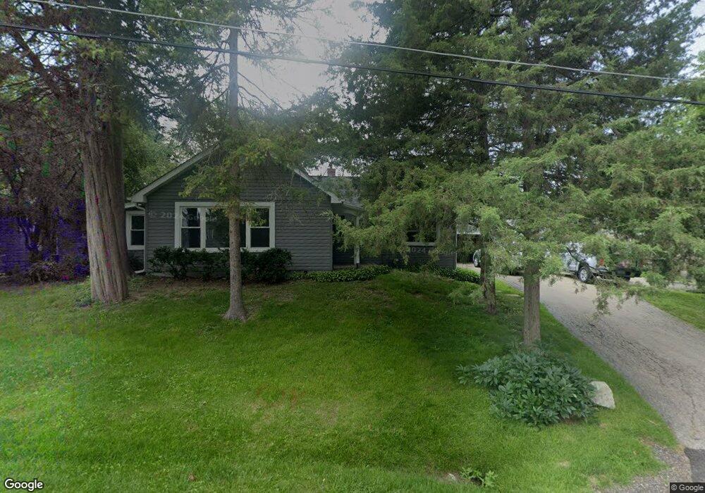
34704 N Peterson Ave Ingleside, IL 60041
Estimated Value: $219,297 - $245,000
--
Bed
1
Bath
1,308
Sq Ft
$175/Sq Ft
Est. Value
About This Home
This home is located at 34704 N Peterson Ave, Ingleside, IL 60041 and is currently estimated at $228,574, approximately $174 per square foot. 34704 N Peterson Ave is a home located in Lake County with nearby schools including Gavin Central Elementary School, Gavin South Middle School, and Grant Community High School.
Ownership History
Date
Name
Owned For
Owner Type
Purchase Details
Closed on
Jun 28, 2018
Sold by
Heeres Carol J
Bought by
Heeres Carol J and Carol J Heeres Trust
Current Estimated Value
Purchase Details
Closed on
May 7, 2001
Sold by
The Herris Trust
Bought by
The Harry H Heeres Trust
Purchase Details
Closed on
Aug 26, 1994
Sold by
Hunt Allison F and Hunt Mary
Bought by
Heeres Harry H and Heeres Carol J
Create a Home Valuation Report for This Property
The Home Valuation Report is an in-depth analysis detailing your home's value as well as a comparison with similar homes in the area
Home Values in the Area
Average Home Value in this Area
Purchase History
| Date | Buyer | Sale Price | Title Company |
|---|---|---|---|
| Heeres Carol J | -- | Attorney | |
| The Harry H Heeres Trust | -- | -- | |
| Heeres Harry H | $39,000 | Intercounty Title Company |
Source: Public Records
Tax History Compared to Growth
Tax History
| Year | Tax Paid | Tax Assessment Tax Assessment Total Assessment is a certain percentage of the fair market value that is determined by local assessors to be the total taxable value of land and additions on the property. | Land | Improvement |
|---|---|---|---|---|
| 2024 | $4,246 | $64,117 | $11,581 | $52,536 |
| 2023 | $3,978 | $54,706 | $10,909 | $43,797 |
| 2022 | $3,978 | $50,088 | $8,924 | $41,164 |
| 2021 | $3,859 | $47,213 | $8,412 | $38,801 |
| 2020 | $3,972 | $46,538 | $8,292 | $38,246 |
| 2019 | $3,846 | $44,628 | $7,952 | $36,676 |
| 2018 | $2,297 | $26,486 | $7,218 | $19,268 |
| 2017 | $2,253 | $24,481 | $6,672 | $17,809 |
| 2016 | $2,380 | $22,390 | $6,102 | $16,288 |
| 2015 | $2,494 | $20,894 | $5,694 | $15,200 |
| 2014 | $2,675 | $23,242 | $8,509 | $14,733 |
| 2012 | $3,148 | $24,218 | $8,866 | $15,352 |
Source: Public Records
Map
Nearby Homes
- 34763 Peterson Ave
- 34661 N Gerberding Ave
- 1584 W Crystal Rock Ct Unit 2B
- 1688 W Turtle Creek Ln
- 1475 W Sedgewood Ct
- 1506 W Turtle Creek Ln
- 1561 W Turtle Creek Ln
- 1221 N Village Dr
- 34906 N Augustana Ave
- 1376 W Split Oak Cir
- 1316 N Red Oak Cir Unit 2
- 347 N Red Oak Cir Unit 406
- 1163 N Red Oak Cir Unit 4
- 1248 N Red Oak Cir Unit 2
- 1543 W Remington Ln
- 649 N Fox Trail
- 931 N Fairfield Rd
- 25644 W Brooks Farm Rd
- 1221 N Fairfield Rd
- 1110 N Fairfield Rd
- 34720 N Peterson Ave
- 34684 N Peterson Ave
- 34703 N Long Ave
- 34701 N Long Ave
- 34680 N Peterson Ave
- 34730 N Peterson Ave
- 34685 N Long Ave
- 34719 N Long Ave
- 34697 N Peterson Ave
- 34715 N Peterson Ave
- 34685 N Peterson Ave
- 34678 N Peterson Ave
- 34725 N Long Ave
- 34721 N Peterson Ave
- 34677 N Long Ave
- 34679 N Peterson Ave
- 34663 N Long Ave
- 34740 N Peterson Ave
- 34735 N Long Ave
- 34733 N Peterson Ave