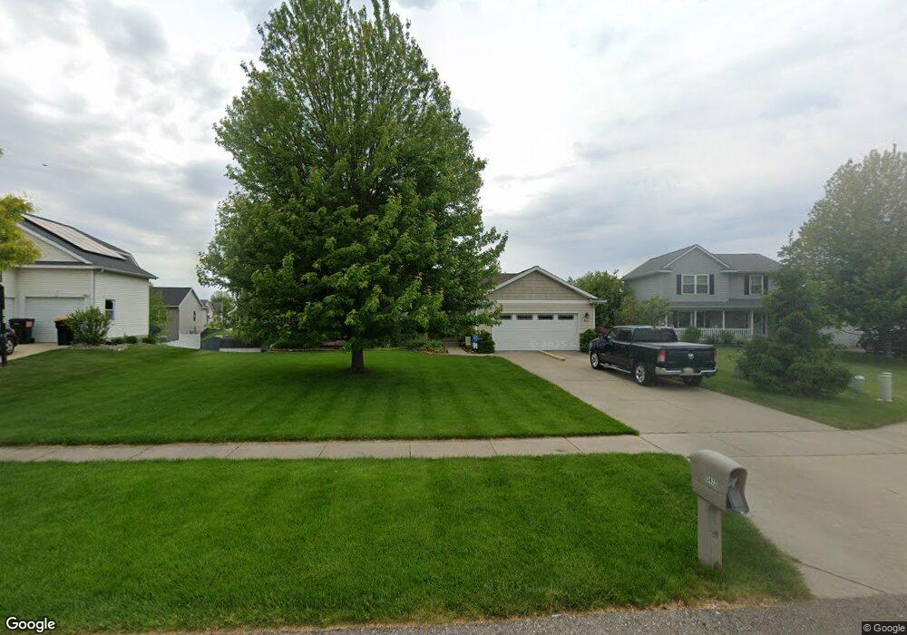
3472 Joey Ct Hudsonville, MI 49426
Estimated Value: $382,918 - $449,000
4
Beds
3
Baths
1,246
Sq Ft
$341/Sq Ft
Est. Value
About This Home
This home is located at 3472 Joey Ct, Hudsonville, MI 49426 and is currently estimated at $424,980, approximately $341 per square foot. 3472 Joey Ct is a home located in Ottawa County with nearby schools including Georgetown Elementary School, Baldwin Street Middle School, and Hudsonville Freshman Campus.
Ownership History
Date
Name
Owned For
Owner Type
Purchase Details
Closed on
Feb 6, 2004
Sold by
Wright William and Wright Renee
Bought by
Eefsting Mitchell G and Eefsting Kelly
Current Estimated Value
Home Financials for this Owner
Home Financials are based on the most recent Mortgage that was taken out on this home.
Original Mortgage
$72,000
Interest Rate
6.39%
Mortgage Type
Purchase Money Mortgage
Purchase Details
Closed on
Nov 12, 2003
Sold by
Snip Donald J and Snip Mary J
Bought by
Wright William and Wright Renee
Home Financials for this Owner
Home Financials are based on the most recent Mortgage that was taken out on this home.
Original Mortgage
$130,000
Interest Rate
6.01%
Mortgage Type
Purchase Money Mortgage
Create a Home Valuation Report for This Property
The Home Valuation Report is an in-depth analysis detailing your home's value as well as a comparison with similar homes in the area
Home Values in the Area
Average Home Value in this Area
Purchase History
| Date | Buyer | Sale Price | Title Company |
|---|---|---|---|
| Eefsting Mitchell G | $45,900 | Metropolitan Title Company | |
| Wright William | $45,900 | Metropolitan Title Company |
Source: Public Records
Mortgage History
| Date | Status | Borrower | Loan Amount |
|---|---|---|---|
| Previous Owner | Eefsting Mitchell G | $72,000 | |
| Previous Owner | Wright William | $130,000 | |
| Closed | Eefsting Mitchell G | $90,900 |
Source: Public Records
Tax History Compared to Growth
Tax History
| Year | Tax Paid | Tax Assessment Tax Assessment Total Assessment is a certain percentage of the fair market value that is determined by local assessors to be the total taxable value of land and additions on the property. | Land | Improvement |
|---|---|---|---|---|
| 2025 | $2,792 | $176,400 | $0 | $0 |
| 2024 | $2,416 | $161,400 | $0 | $0 |
| 2023 | $2,307 | $147,400 | $0 | $0 |
| 2022 | $2,536 | $132,100 | $0 | $0 |
| 2021 | $2,464 | $126,500 | $0 | $0 |
| 2020 | $2,438 | $119,500 | $0 | $0 |
| 2019 | $2,442 | $110,600 | $0 | $0 |
| 2018 | $2,233 | $105,100 | $0 | $0 |
| 2017 | $2,193 | $103,600 | $0 | $0 |
| 2016 | $2,180 | $97,400 | $0 | $0 |
| 2015 | $2,081 | $93,800 | $0 | $0 |
| 2014 | $2,081 | $81,100 | $0 | $0 |
Source: Public Records
Map
Nearby Homes
- 7318 Alycia Dr
- 3528 Tearose Dr
- 3617 Teton Dr
- 7313 Valhalla Dr
- 7381 Rolling Hills Dr
- 3546 Eagles Roost Trail Unit 3
- 0 Baldwin St
- 7954 Bald Eagle Pass Unit 130
- 4087 Baldwin St
- 6950 Meadowcreek Dr
- 3544 Nobb Hill Dr
- 2934 Parkside Dr Unit 54
- 6701 Arlene Dr
- 2921 N Wentward Ct
- 7918 Westside Dr
- 4101 Blair St
- 6760 N Wentward Ct
- 4106 Blair St
- 8206 Eagle Peak Dr
- V/L Port Sheldon St