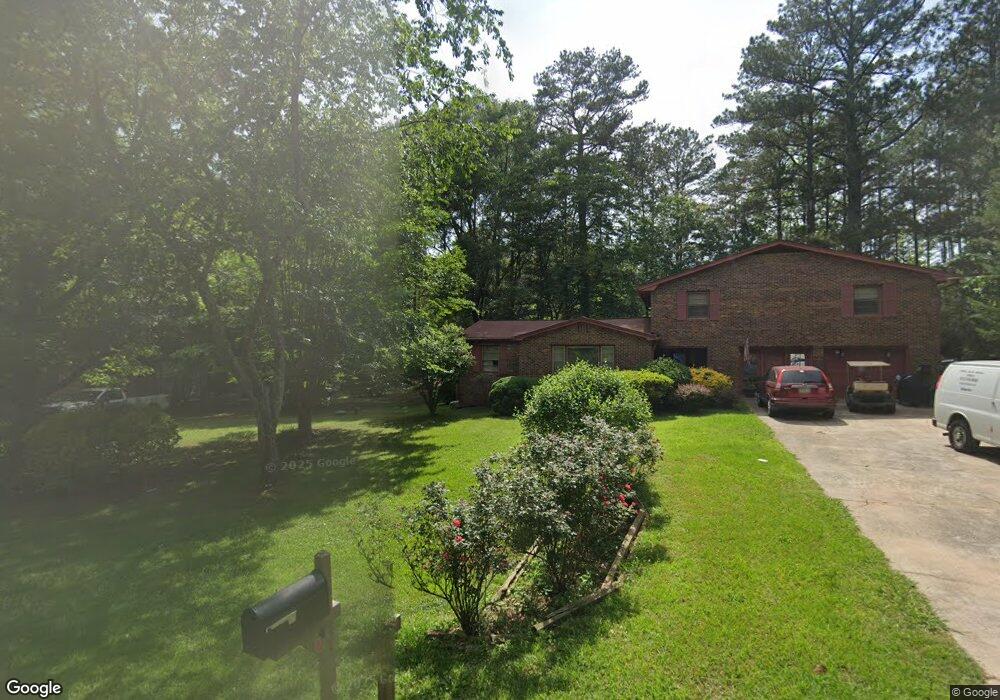
3473 Highway 16 E Sharpsburg, GA 30277
Estimated Value: $296,371 - $373,000
3
Beds
1
Bath
1,762
Sq Ft
$186/Sq Ft
Est. Value
About This Home
This home is located at 3473 Highway 16 E, Sharpsburg, GA 30277 and is currently estimated at $328,093, approximately $186 per square foot. 3473 Highway 16 E is a home located in Coweta County with nearby schools including Poplar Road Elementary School, East Coweta Middle School, and East Coweta High School.
Ownership History
Date
Name
Owned For
Owner Type
Purchase Details
Closed on
Feb 17, 2022
Sold by
Sargent Myrtis E
Bought by
Sargent Austin Lee
Current Estimated Value
Purchase Details
Closed on
Jul 1, 1997
Sold by
Rusu Keren
Bought by
Sargent Ronald L and Sargent Myrtis S
Home Financials for this Owner
Home Financials are based on the most recent Mortgage that was taken out on this home.
Original Mortgage
$52,000
Interest Rate
7.98%
Mortgage Type
New Conventional
Purchase Details
Closed on
Feb 29, 1988
Bought by
Lakeman Karen
Create a Home Valuation Report for This Property
The Home Valuation Report is an in-depth analysis detailing your home's value as well as a comparison with similar homes in the area
Home Values in the Area
Average Home Value in this Area
Purchase History
| Date | Buyer | Sale Price | Title Company |
|---|---|---|---|
| Sargent Austin Lee | -- | -- | |
| Sargent Ronald L | $103,000 | -- | |
| Lakeman Karen | $69,900 | -- |
Source: Public Records
Mortgage History
| Date | Status | Borrower | Loan Amount |
|---|---|---|---|
| Previous Owner | Sargent Ronald L | $52,000 |
Source: Public Records
Tax History Compared to Growth
Tax History
| Year | Tax Paid | Tax Assessment Tax Assessment Total Assessment is a certain percentage of the fair market value that is determined by local assessors to be the total taxable value of land and additions on the property. | Land | Improvement |
|---|---|---|---|---|
| 2025 | $853 | $112,796 | $21,165 | $91,630 |
| 2024 | $771 | $108,549 | $11,452 | $97,097 |
| 2023 | $771 | $118,608 | $18,386 | $100,222 |
| 2022 | $842 | $107,275 | $38,902 | $68,373 |
| 2021 | $783 | $94,908 | $37,050 | $57,858 |
| 2020 | $783 | $94,908 | $37,050 | $57,858 |
| 2019 | $414 | $48,451 | $23,752 | $24,699 |
| 2018 | $417 | $48,451 | $23,752 | $24,699 |
| 2017 | $417 | $48,451 | $23,752 | $24,699 |
| 2016 | $403 | $48,451 | $23,752 | $24,699 |
| 2015 | $539 | $48,451 | $23,752 | $24,699 |
| 2014 | $527 | $48,451 | $23,752 | $24,699 |
Source: Public Records
Map
Nearby Homes
- 46 Lullwater Ct
- 68 Winchester Dr
- 565 Timberbrook Dr
- 316 Winchester Dr
- 65 Oakhurst Trail
- 69 Oakhurst Trail
- 2812 Highway 16 E
- 2752 Poplar Rd
- 140 Halo Trace
- 270 Sturgess Run
- 105 Turnberry Trace
- 108 Turnberry Trace
- 138 Main St
- 49 Durham Estates Dr
- 0 Highway 154 Unit 10470800
- 165 Durham Estates Dr
- 1 Mcintosh Trail
- 0 Poplar Rd Unit 10580891
- Camden Plan at Candleberry Place
- Savannah Plan at Candleberry Place
- 33 Clearwater Rd
- 3471 E Highway 16 E
- 61 Clearwater Rd
- 3441 Highway 16 E
- 60 Clearwater Rd
- 3429 Highway 16 E
- 24 Clearwater Rd
- 3427 Highway 16 E
- 73 Clearwater Rd
- 12 Clearwater Rd
- 0 Clearwater Rd Unit 8388977
- 0 Clearwater Rd Unit LOT 82 3017903
- 0 Clearwater Rd Unit TR B 3186871
- 0 Clearwater Rd Unit LOT 82 3211352
- 0 Clearwater Rd Unit TR C 7035843
- 0 Clearwater Rd Unit TR D 7035836
- 0 Clearwater Rd Unit 7114355
- 0 Clearwater Rd Unit TR B 7213992
- 10 Short Rd
- 3411 Highway 16 E