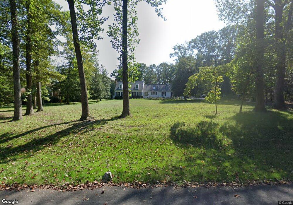
3473 Ranger Rd Davidsonville, MD 21035
Davidsonville NeighborhoodEstimated Value: $1,060,149 - $1,093,000
--
Bed
3
Baths
2,199
Sq Ft
$487/Sq Ft
Est. Value
About This Home
This home is located at 3473 Ranger Rd, Davidsonville, MD 21035 and is currently estimated at $1,071,787, approximately $487 per square foot. 3473 Ranger Rd is a home located in Anne Arundel County with nearby schools including Davidsonville Elementary School, Central Middle School, and South River High School.
Ownership History
Date
Name
Owned For
Owner Type
Purchase Details
Closed on
Oct 6, 2021
Sold by
Adams Duke and Adams Maureen Ann
Bought by
Mattingly Nicholas R and Mattingly Elizabeth L
Current Estimated Value
Home Financials for this Owner
Home Financials are based on the most recent Mortgage that was taken out on this home.
Original Mortgage
$760,000
Outstanding Balance
$693,049
Interest Rate
2.8%
Mortgage Type
New Conventional
Estimated Equity
$378,738
Create a Home Valuation Report for This Property
The Home Valuation Report is an in-depth analysis detailing your home's value as well as a comparison with similar homes in the area
Home Values in the Area
Average Home Value in this Area
Purchase History
| Date | Buyer | Sale Price | Title Company |
|---|---|---|---|
| Mattingly Nicholas R | $950,000 | Eagle Title Llc |
Source: Public Records
Mortgage History
| Date | Status | Borrower | Loan Amount |
|---|---|---|---|
| Open | Mattingly Nicholas R | $760,000 |
Source: Public Records
Tax History Compared to Growth
Tax History
| Year | Tax Paid | Tax Assessment Tax Assessment Total Assessment is a certain percentage of the fair market value that is determined by local assessors to be the total taxable value of land and additions on the property. | Land | Improvement |
|---|---|---|---|---|
| 2025 | $8,026 | $771,900 | -- | -- |
| 2024 | $8,026 | $713,400 | $0 | $0 |
| 2023 | $7,779 | $654,900 | $386,200 | $268,700 |
| 2022 | $7,305 | $643,567 | $0 | $0 |
| 2021 | $12,842 | $632,233 | $0 | $0 |
| 2020 | $6,270 | $620,900 | $366,200 | $254,700 |
| 2019 | $6,176 | $620,900 | $366,200 | $254,700 |
| 2018 | $6,296 | $620,900 | $366,200 | $254,700 |
| 2017 | $5,785 | $656,300 | $0 | $0 |
| 2016 | -- | $623,033 | $0 | $0 |
| 2015 | -- | $589,767 | $0 | $0 |
| 2014 | -- | $556,500 | $0 | $0 |
Source: Public Records
Map
Nearby Homes
- 2762 Bon Haven Ln
- 778 Bon Haven Dr
- 767 Bon Haven Dr
- 2900 Shipmaster Way Unit 216
- 2828 Berth Ct
- 932 Riversedge Cir
- 738 Intrepid Way
- 2612 Quiet Water Cove Unit 24
- 2709 Parkview Dr
- 940 Astern Way Unit 604
- 940 Astern Way Unit 309
- 930 Astern Way Unit 609
- 930 Astern Way Unit 405
- 930 Astern Way Unit 511
- 1012 Mastline Dr
- 513 Broad Stream Ln
- 772 Ballast Way
- 2737 Yeomans Lantern Ct
- 2601 Compass Dr
- 1007 Boom Ct
- 3477 Ranger Rd
- 662 Santa Maria Ln
- 668 Santa Maria Ln
- 656 Santa Maria Ln
- 3481 Ranger Rd
- 3472 Ranger Rd
- 3476 Monitor Ct
- 663 Santa Maria Ln
- 3480 Monitor Ct
- 3474 Ranger Rd
- 3472 Monitor Ct
- 3466 Merrimac Rd
- 652 Ranger Ct
- 659 Santa Maria Ln
- 3468 Monitor Ct
- 3484 Monitor Ct
- 652 Santa Maria Ln
- 3475 Monitor Ct
- 671 Santa Maria Ln
- 3462 Merrimac Rd